

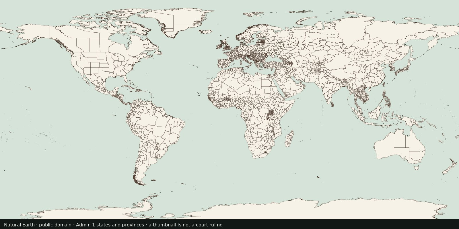
Political
States and provinces
First-order internal divisions (states, provinces, oblasts…): administrative lines inside countries, not another sovereign-border atlas and not EEZ.
Read the card →A public-domain political base: who administers which polygon, with the usual disputed-border caveats.
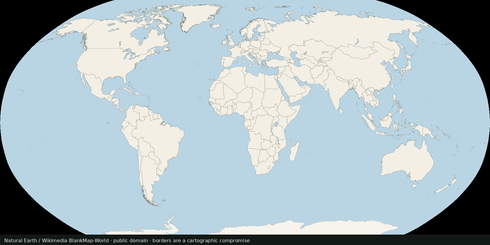
Natural Earth publishes public-domain cultural and physical vectors at several scales, including admin-0 countries. Cartographers use it because the license is clear and the generalization is designed for small-scale world maps.
Natural Earth
Vintage: 2024
https://www.naturalearthdata.com/
Natural Earth is public domain. The preview is a recolored render of Wikimedia’s public-domain BlankMap-World, a similar small-scale country outline.
This is a reference outline, not a court. Disputed areas are drawn one way so the map can be drawn at all. For a legal claim, read a treaty or a court, not a 1:110 million shapefile.
Borders move, names change, and some lines are violently contested. Natural Earth documents its disputed-boundary choices. A blank political map is still a political act.
Open source map → First-order internal divisions (states, provinces, oblasts…): administrative lines inside countries, not another sovereign-border atlas and not EEZ.
Read the card →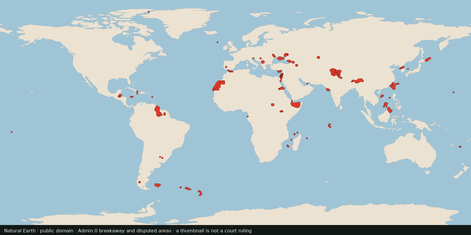
Polygons Natural Earth flags as breakaway or disputed, a cartographer’s working set for contested land, not a court ruling and not a second world-countries layer.
Read the card →Source: Natural Earth 10m Admin 0: Breakaway, disputed areas
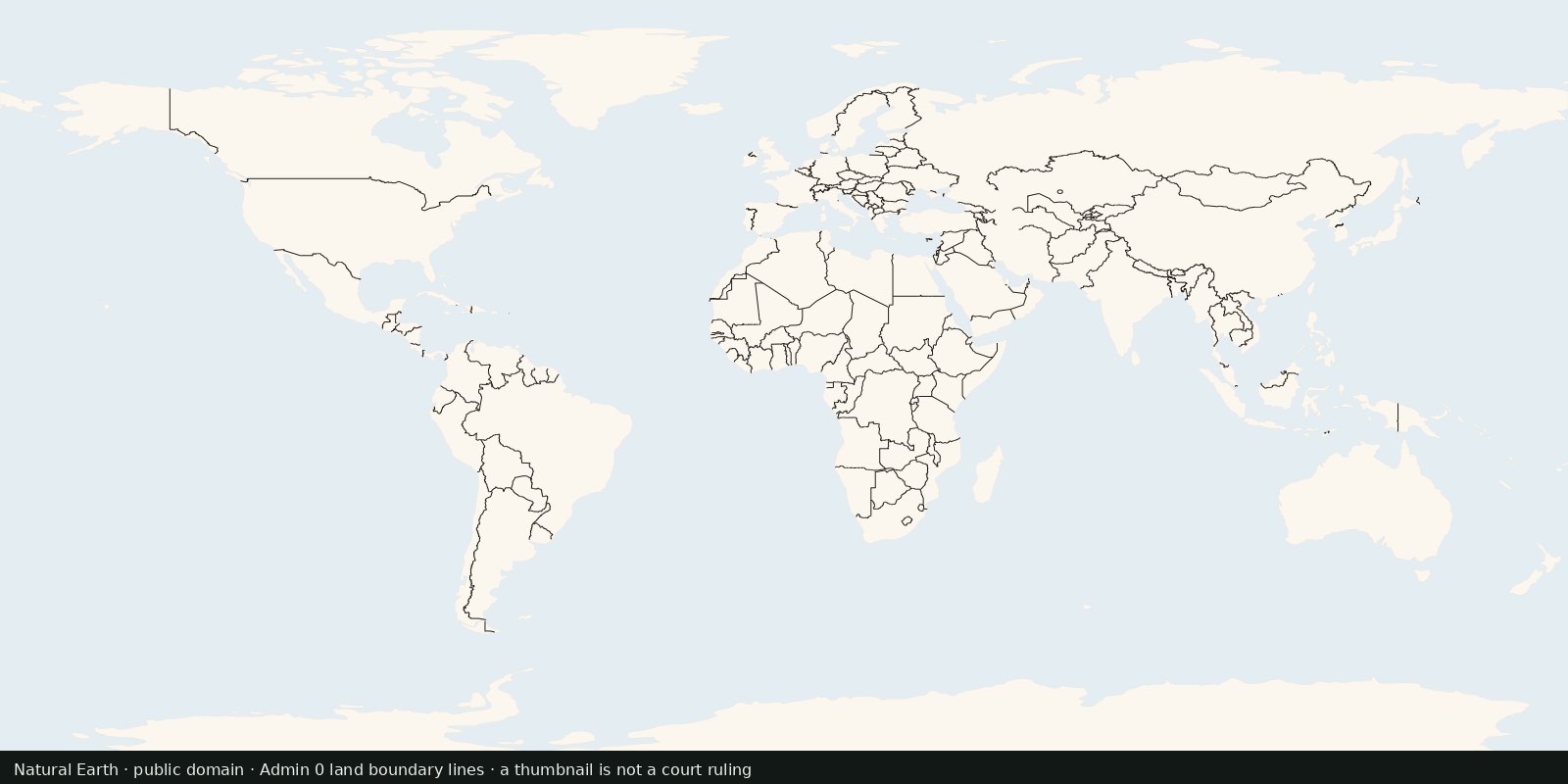
International land borders as line geometries, the edge between polygons, not a filled countries map and not maritime EEZ limits.
Read the card →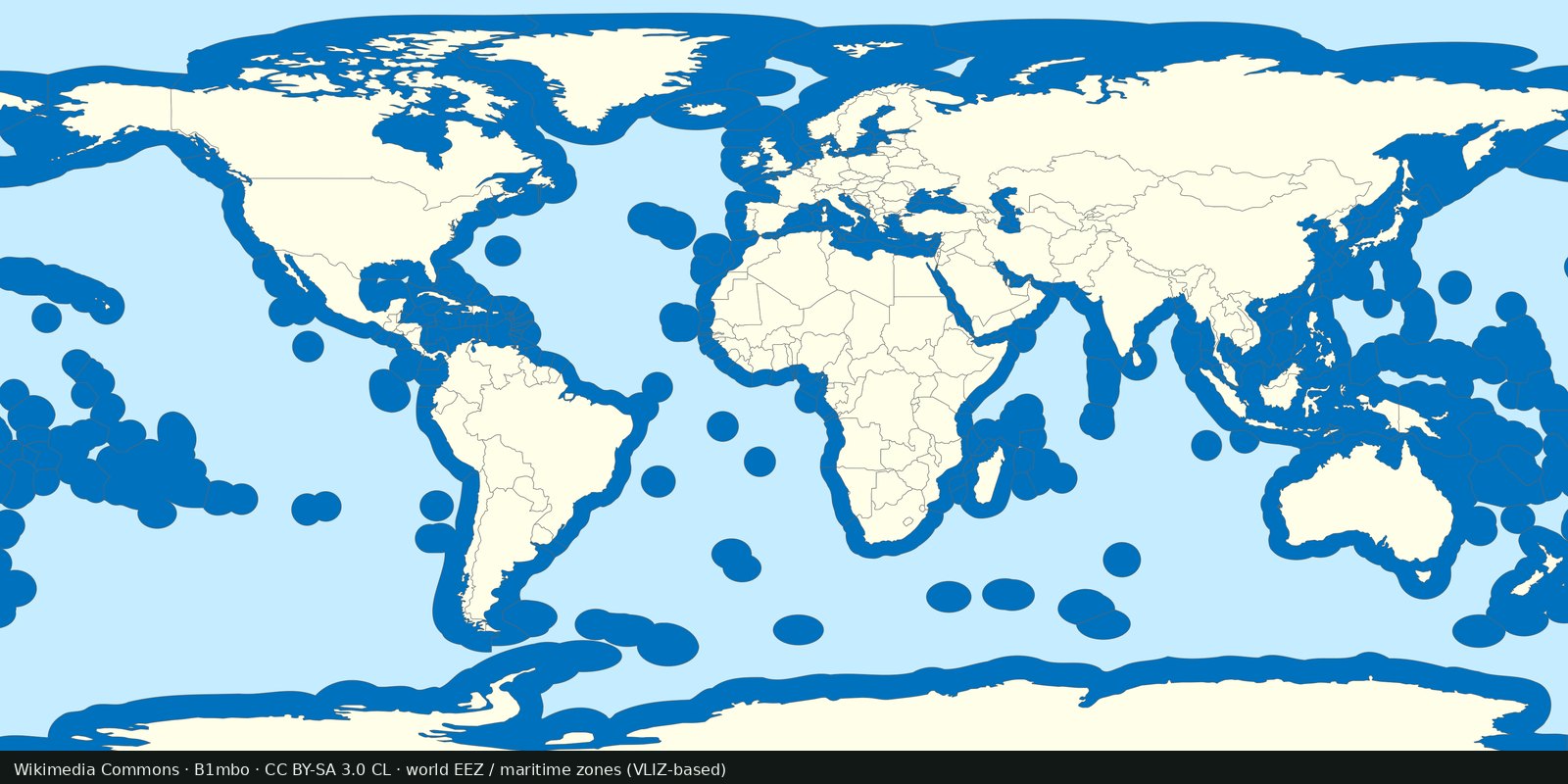
Maritime EEZ polygons: who claims which ocean band. Complements land borders; not a second countries layer.
Read the card →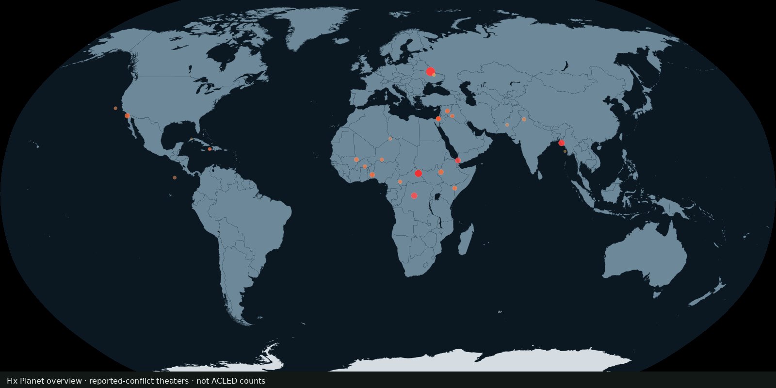 Fix Planet overview
Where armed conflict and protest events were recorded, not a verdict on who is right.
Read the card →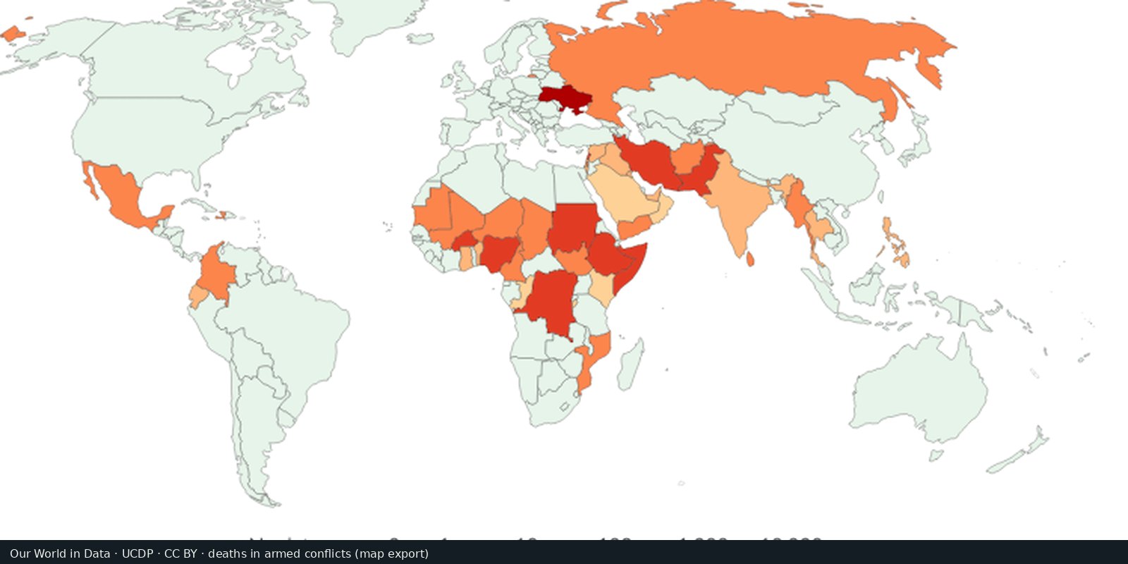
UCDP counts of people killed in organized armed conflict, compiled for comparison over time.
Read the card →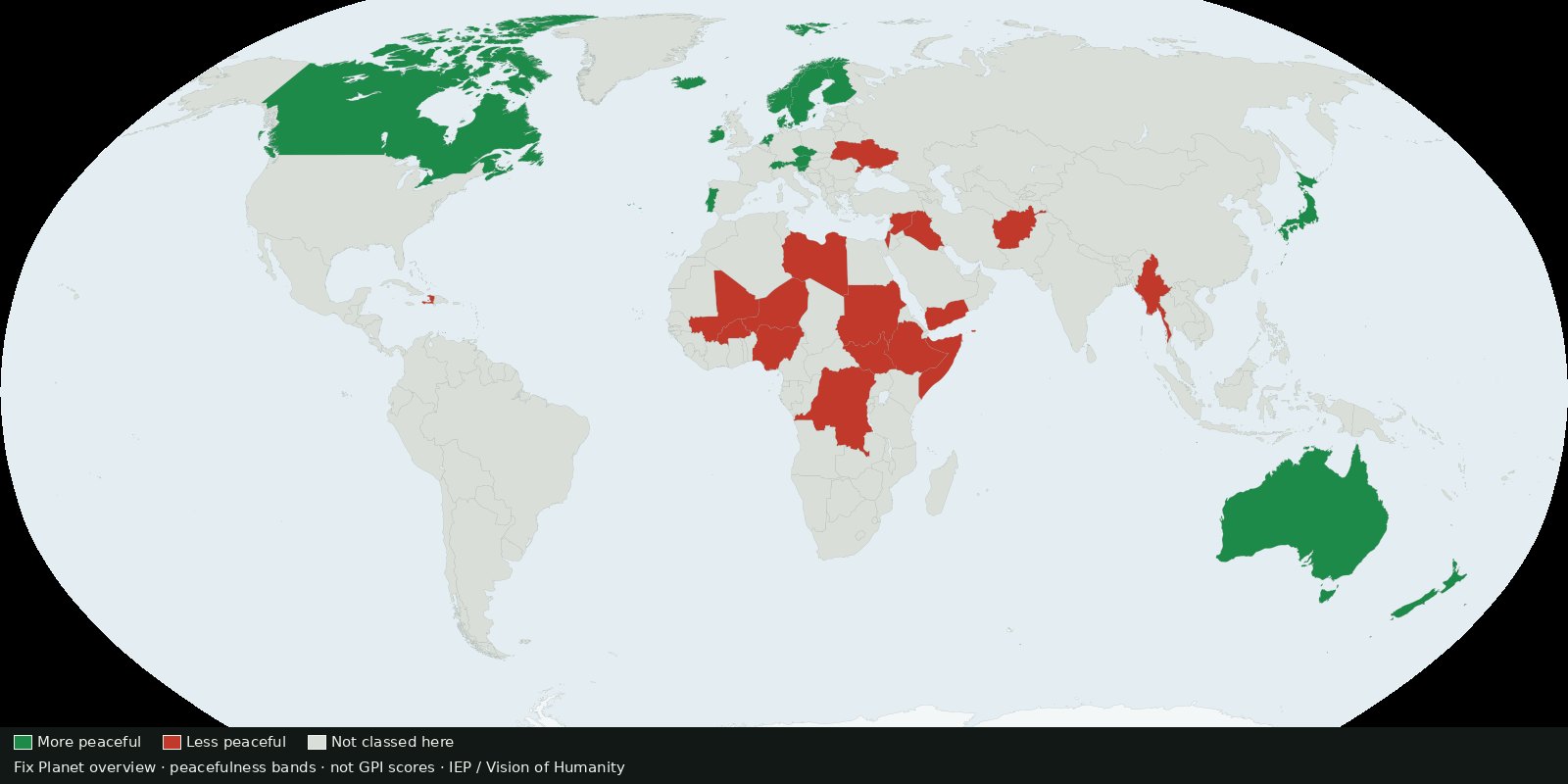 Fix Planet overview
Country ranking of peacefulness from the Institute for Economics & Peace: a composite score, not ACLED event pins and not a verdict on who is right.
Read the card →Source: Institute for Economics & Peace / Vision of Humanity: Global Peace Index
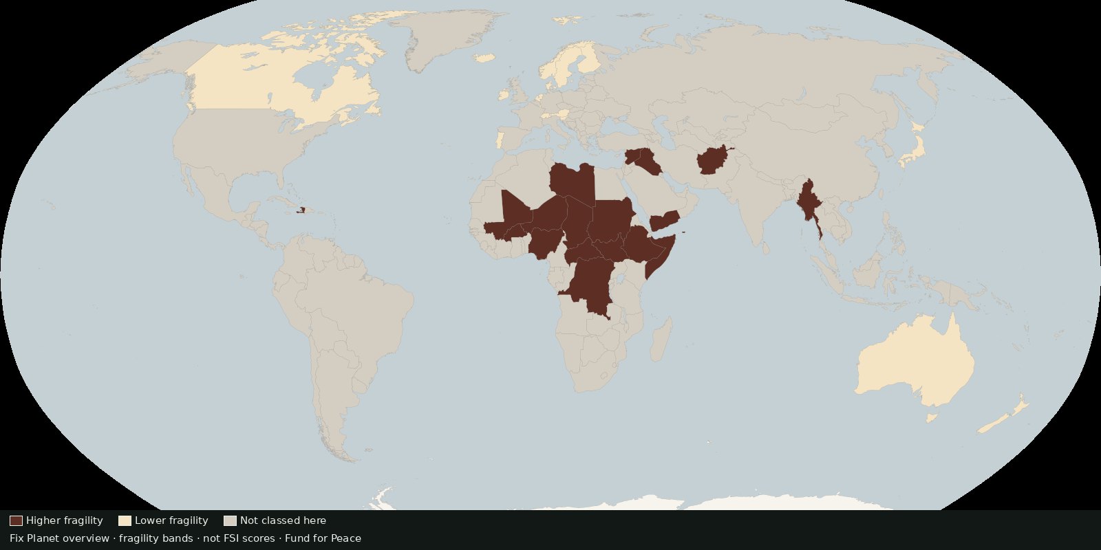 Fix Planet overview
Country scores of state fragility across pressure and cohesion indicators, fragility risk, not battle deaths and not a peace ranking.
Read the card →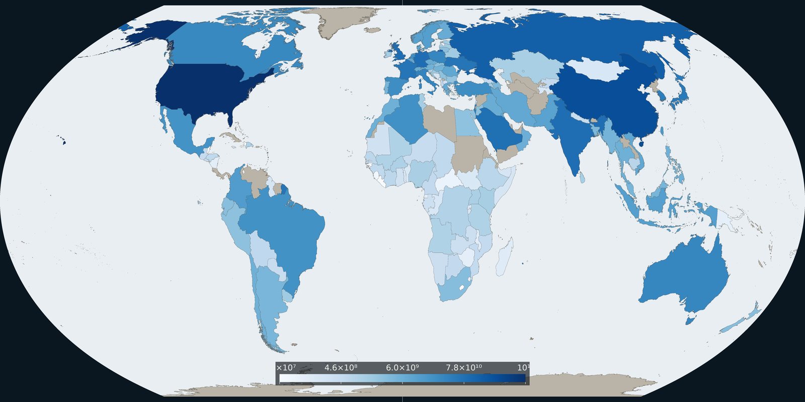
Comparable country series of military spending from SIPRI, budgets and burden, not event pins and not a catalog of weapon systems.
Read the card →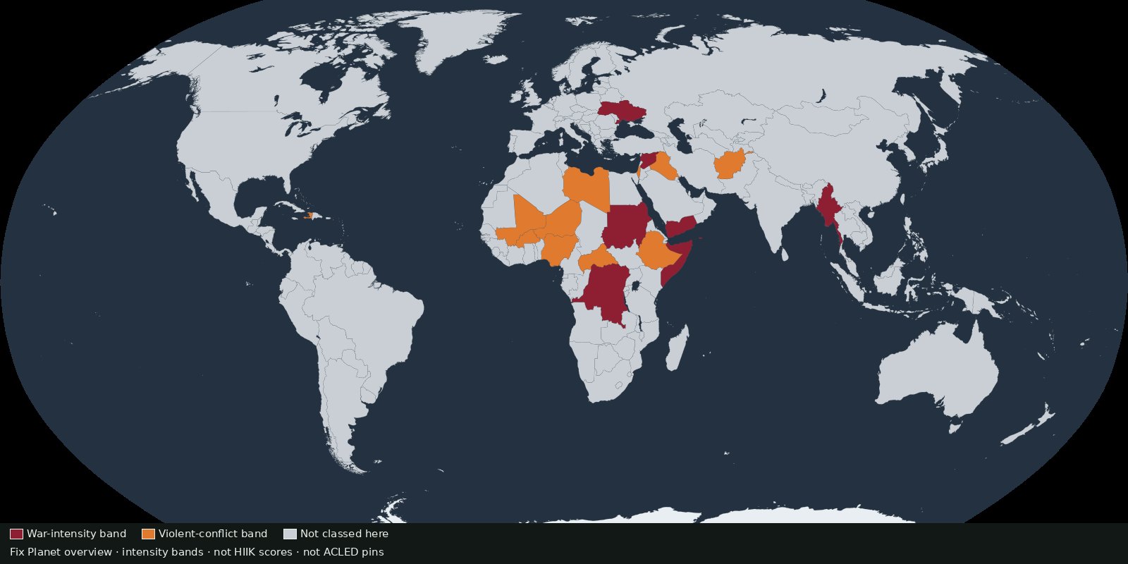 Fix Planet overview
Annual conflict intensity by country and region from Heidelberg’s Conflict Barometer, intensity classes, not event pins and not battle-death totals.
Read the card →