
Layers
Loading public feeds.
The soil moisture shading did not load. Drought points stay on the globe.
The Europe drought shading did not load.
Some layers stay on the saved snapshot when the browser cannot reach that feed.
This browser could not draw the globe. The event list still uses the public feeds.
Latest events
No events in the selected layers.
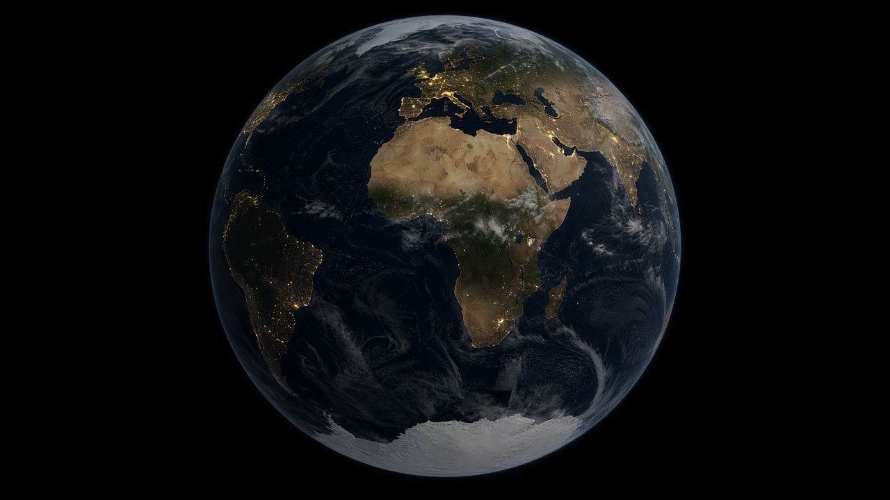
Earth at night from space, Africa-centered, city lights on the continents and faint lines across dark oceans
Map room
Maps
Public maps of conflict, languages, religion, crime, pollution, subsurface resources, forests, water, population, climate, and the political world. History of borders is a century timeline from 1 CE to now. Religions covers early-century schematics and the AD 600 Christianity process companion.
Photo: founder-supplied Earth at night from space.
History of borders
Century frames from 1 CE to now.
Live world
Earthquakes, storms, floods, volcanoes, droughts, and fires on a dark globe.
Religion
Pilot schematics for the early centuries CE: not a census.
Conflicts
Armed events, battle deaths, peacefulness, state fragility, military spending, and conflict intensity.
Ethnolinguistic
Language families as public cartography.
Crime
Public maps of violent crime, organized crime, corruption risk, and trafficking. Also here: how many people each country holds in prison, the main routes of cocaine, heroin and methamphetamine trafficking, estimates of modern slavery, money-laundering risk scores and rule-of-law rankings.
Pollution
Air, waste, and emissions with a named source.
Subsurface
Oil, gas, and minerals: fossil fuel and fossil gold. Also here: the world’s coal mines and proved coal reserves, the countries that lead in mining and processing critical minerals, and where rare earths and lithium are mined.
Political
States, first-order provinces, disputed land polygons, land boundary lines, and maritime exclusive economic zones.
Forests
Canopy, loss, and protected areas from named sources.
Water
Rivers, basins, groundwater, lakes, wetlands, flood hazard, and freshwater stress.
Climate
Surface temperature, rainfall, drought, outdoor heat stress and snow, from open climate data.
Population
Where people live, at the vintage we can source.