
4.14 billion hectares
Forest remaining
Food and Agriculture Organization of the United Nations, Global Forest Resources Assessment 2025
Earth’s forests
Sourced figures for forest area, primary forest, planted forest, carbon, net loss, tropical primary loss, and the number of trees.
4.14 billion hectares
Food and Agriculture Organization of the United Nations, Global Forest Resources Assessment 2025
32 percent of land
Food and Agriculture Organization of the United Nations, Global Forest Resources Assessment 2025
1.18 billion hectares
312 million hectares
Food and Agriculture Organization of the United Nations, Global Forest Resources Assessment 2025
714 gigatonnes of carbon
Food and Agriculture Organization of the United Nations, Global Forest Resources Assessment 2025
4.12 million hectares a year
Food and Agriculture Organization of the United Nations, news release on the 2025 forest assessment
4.3 million hectares
World Resources Institute, Global Forest Review, tropical forest loss in 2025
~3.04 trillion trees
Figures from the Food and Agriculture Organization of the United Nations, satellite greenness, reconstructions, and outlooks, plus planted forests, forest carbon stock, tree cover, peatlands, canopy height, aboveground biomass density, burned area, and ecological zones. Each layer names its publisher and what the layer measures. Five headline figures now open their own pages: forest remaining, primary forest, net forest-area loss, tropical primary forest loss and the number of trees alive.
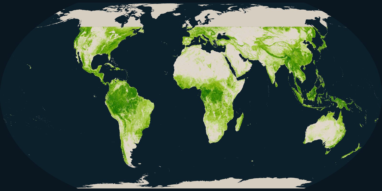
How tall the forest canopy is, measured by spaceborne lidar as a mean top height on a grid of about 1 kilometre.
Open the layer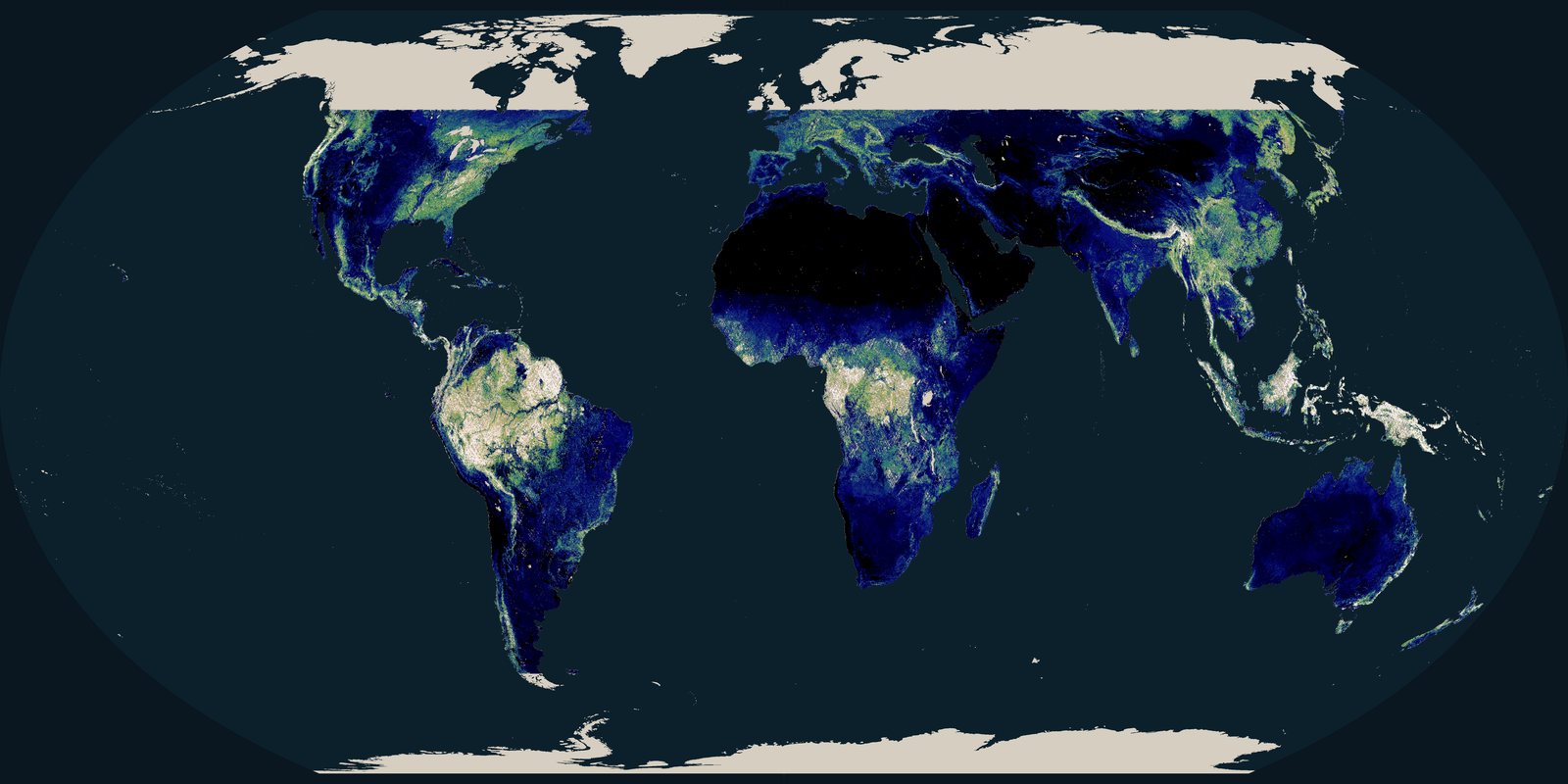
Aboveground biomass density from spaceborne lidar, mapped in tonnes per hectare.
Open the layer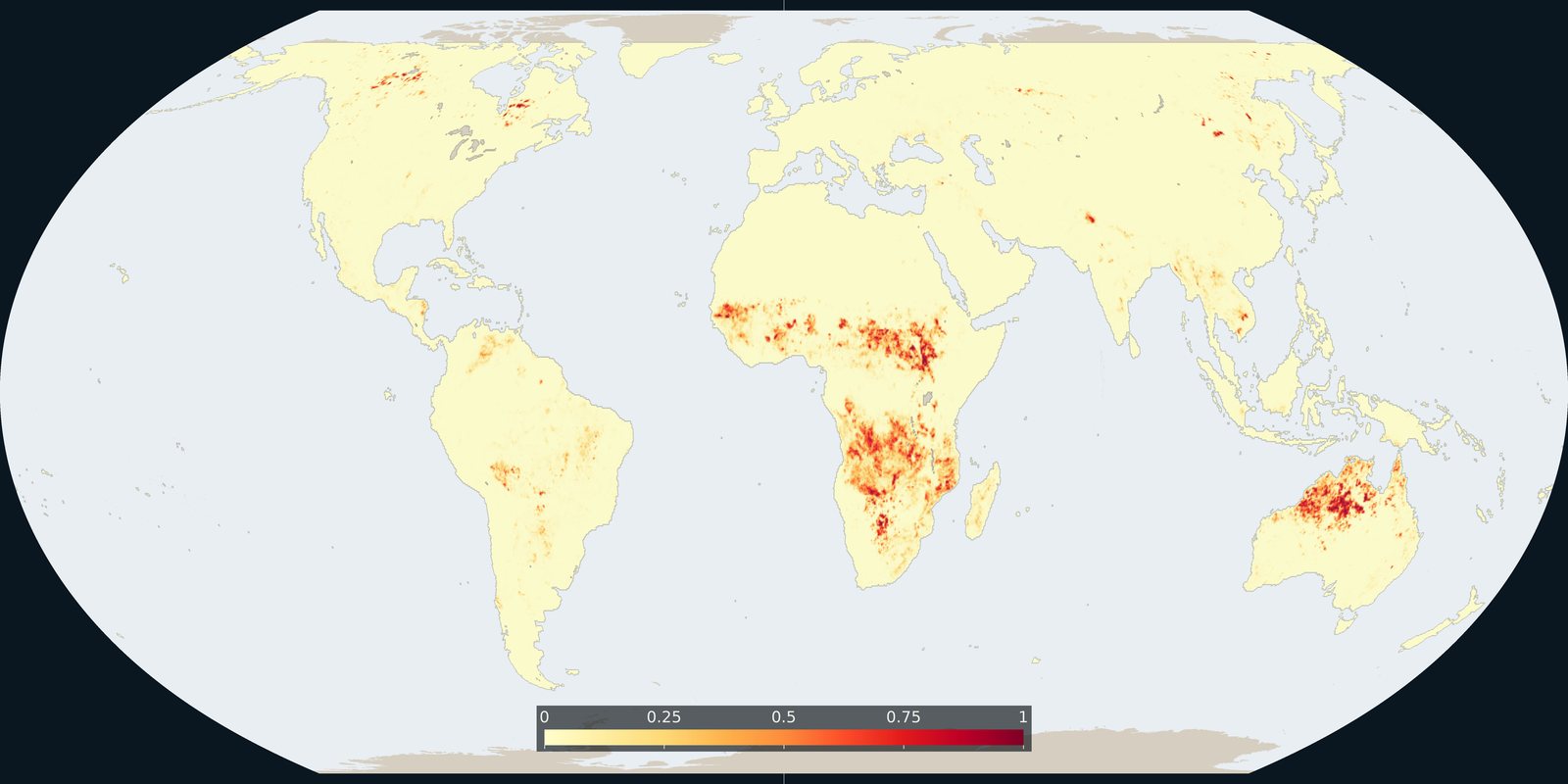
Where fire burned in 2023, as the annual burned fraction on a quarter-degree grid.
Open the layer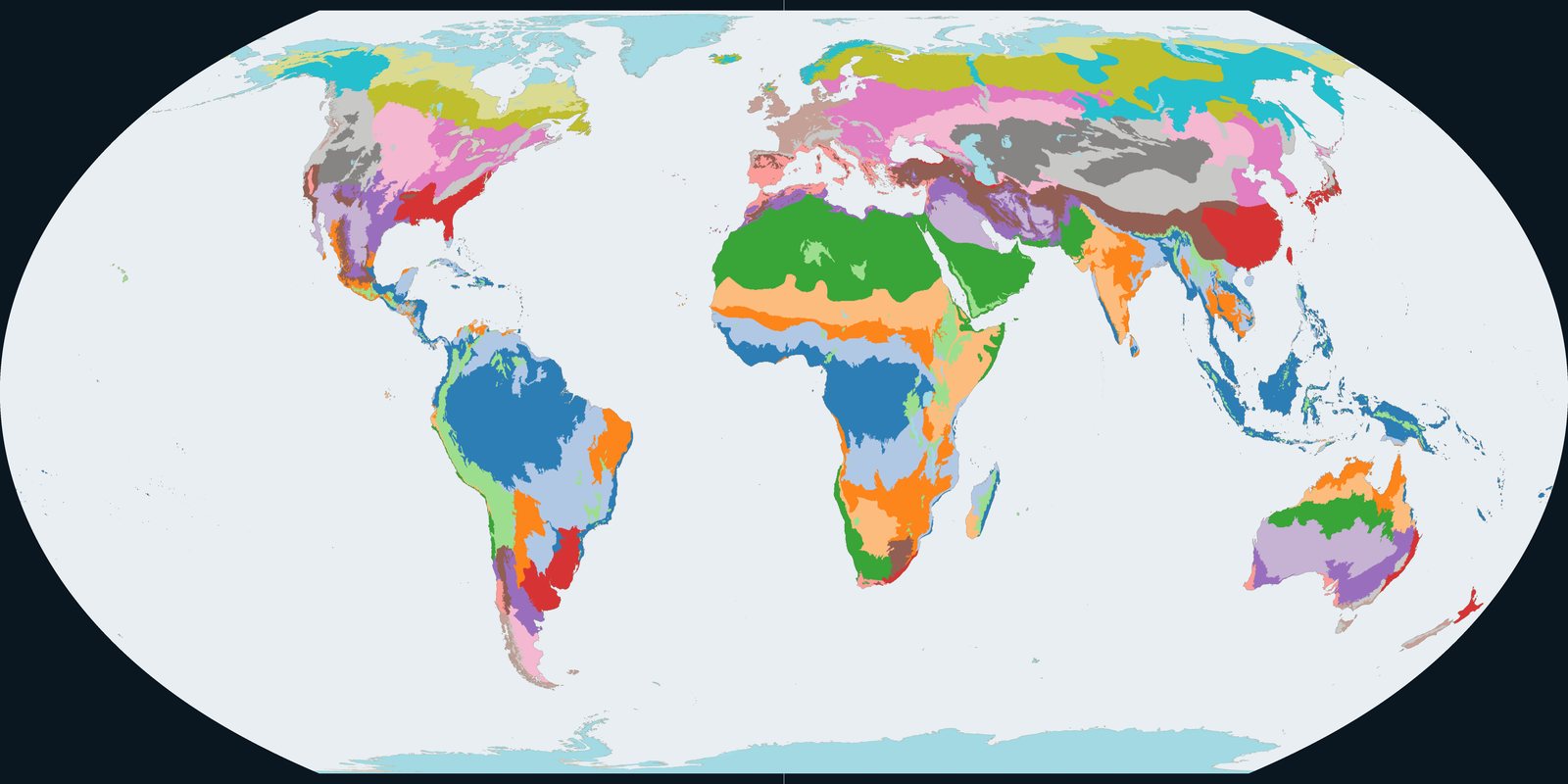
Climatic and ecological zones used for forest reporting: a zoning of land by climate and ecology.
Open the layer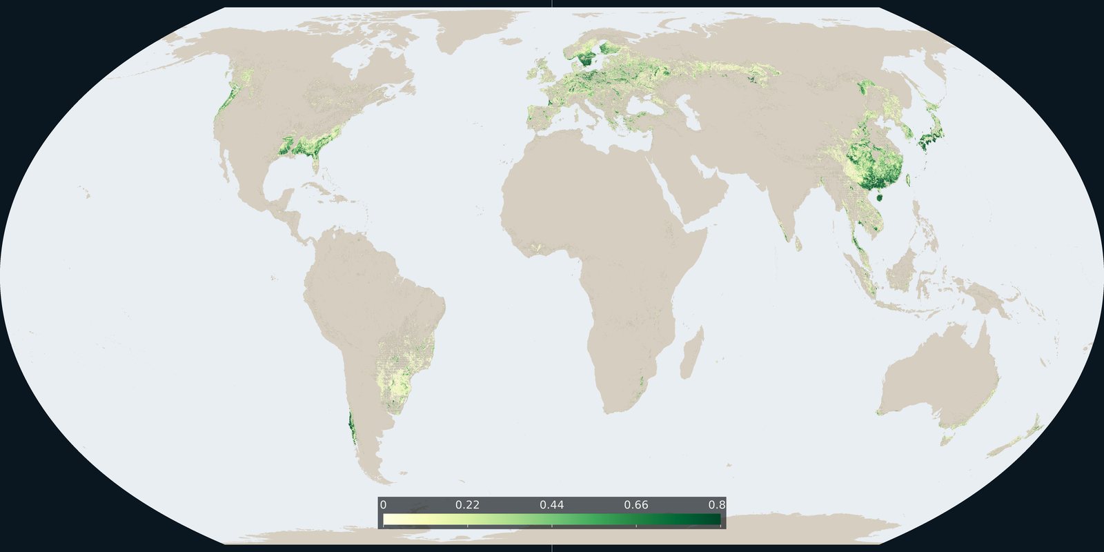
Where the 2015 forest-management map marks planted forest and short-rotation timber plantation, with the reported total of about 312 million hectares.
Open the layer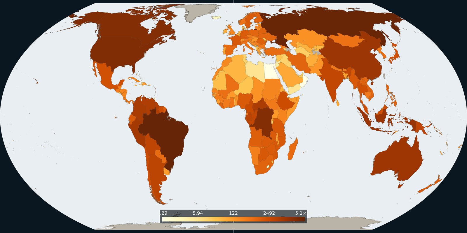
Country totals of living-biomass carbon in 2025, aboveground plus belowground, from the forest assessment, with the five-pool global total alongside.
Open the layer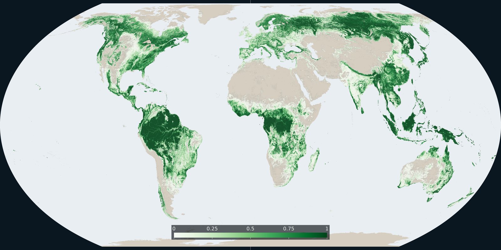
Where the 2021 land-cover map assigns the tree-cover class, counted as the share of each cell.
Open the layer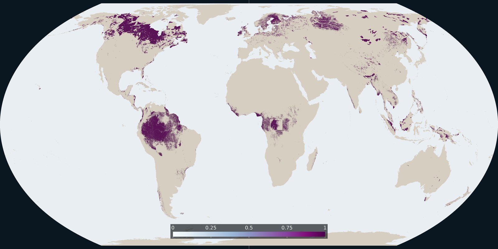
Where the peat map records peat: a global extent of organic soils.
Open the layer
The Food and Agriculture Organization of the United Nations reports that forests cover 4.14 billion hectares, 32 percent of the world land, based on reports from 236 countries and areas.
Open the layer
The Food and Agriculture Organization of the United Nations reports at least 1.18 billion hectares of primary forest, 29 percent of all forest: naturally regenerating forest of native tree species with no clearly visible signs of human activity.
Open the layerSource: Global Forest Resources Assessment 2025, primary forests
The Food and Agriculture Organization of the United Nations reports that the world forest area shrank by a net 4.12 million hectares a year in 2015 to 2025, down from 10.7 million hectares a year in 1990 to 2000.
Open the layer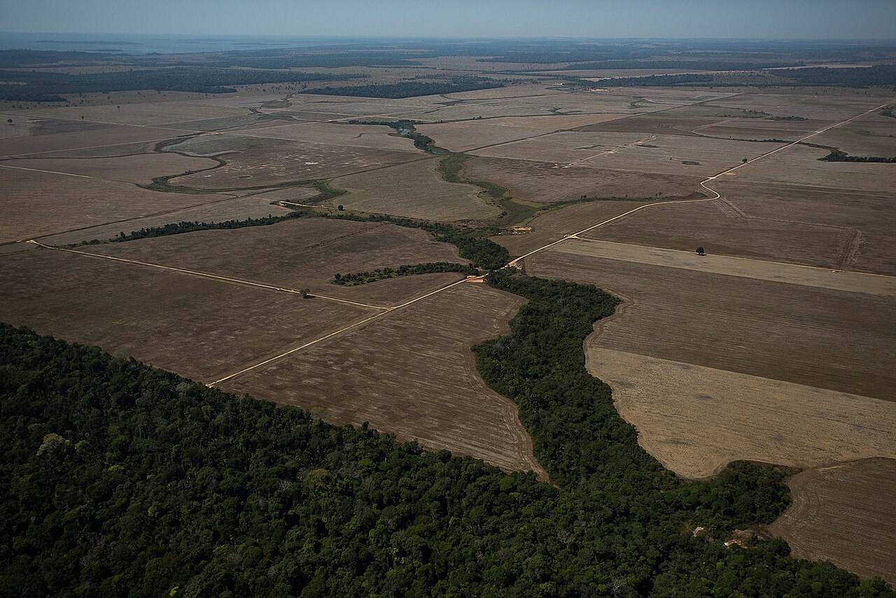
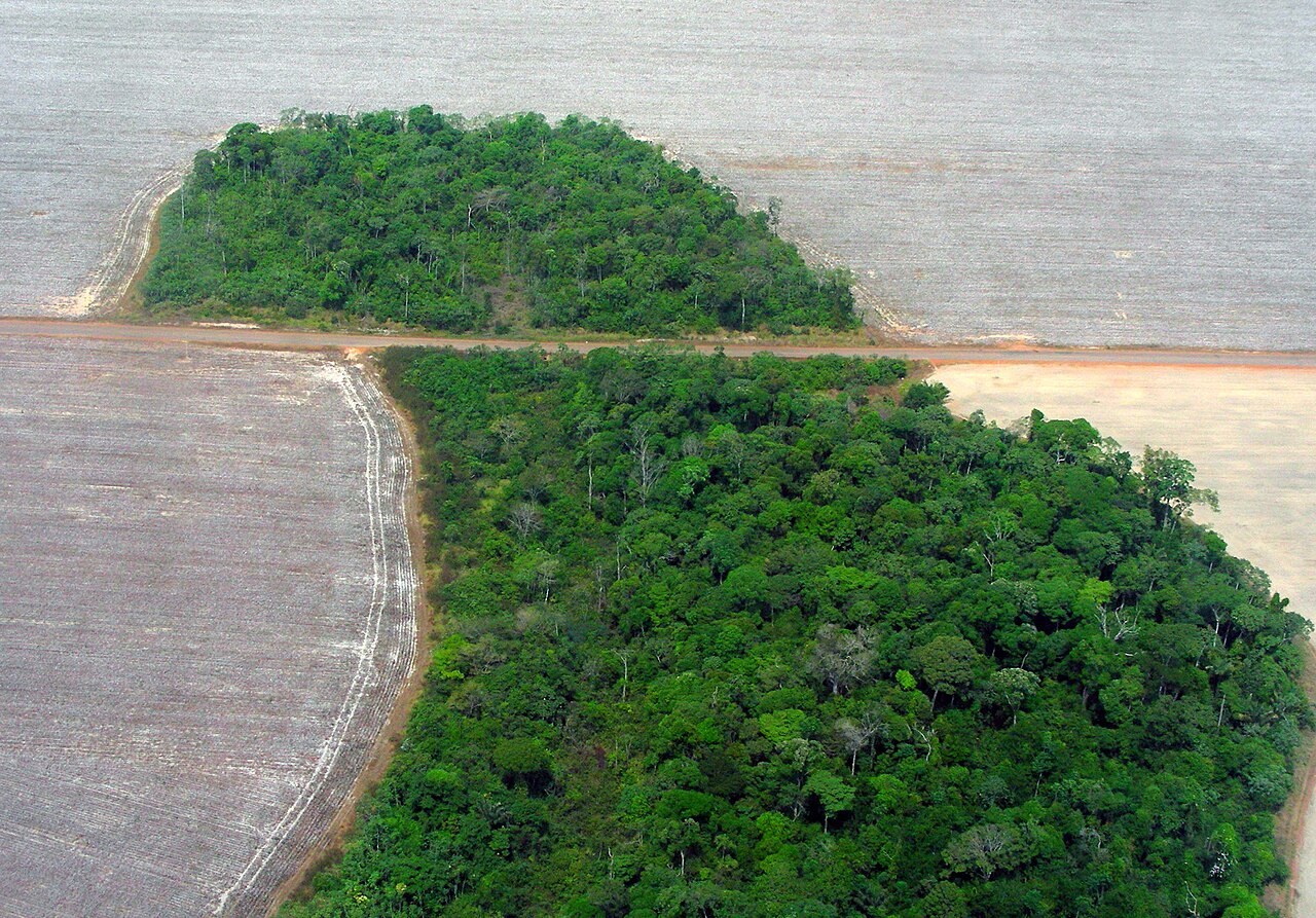
The World Resources Institute reports that the world lost 4.3 million hectares of tropical primary rainforest in 2025, 36 percent less than in the record year 2024.
Open the layerSource: World Resources Institute, Global Forest Review analysis of tropical forest loss in 2025
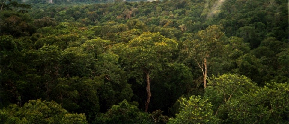
A 2015 study in the journal Nature combined 429,775 forest plot measurements with remote sensing and mapping layers and estimated that there are about 3.04 trillion trees on Earth.
Open the layerSource: Nature, Mapping tree density at a global scale (2015)