

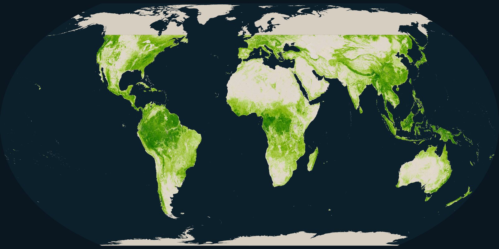
Canopy height
How tall the forest canopy is, measured by spaceborne lidar as a mean top height on a grid of about 1 kilometre.
Open the layerThe World Resources Institute reports that the world lost 4.3 million hectares of tropical primary rainforest in 2025, 36 percent less than in the record year 2024.
University of Maryland Global Land Analysis and Discovery laboratory and Global Forest Watch · 4.3 million hectares · 2025
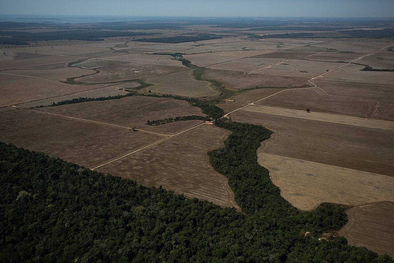
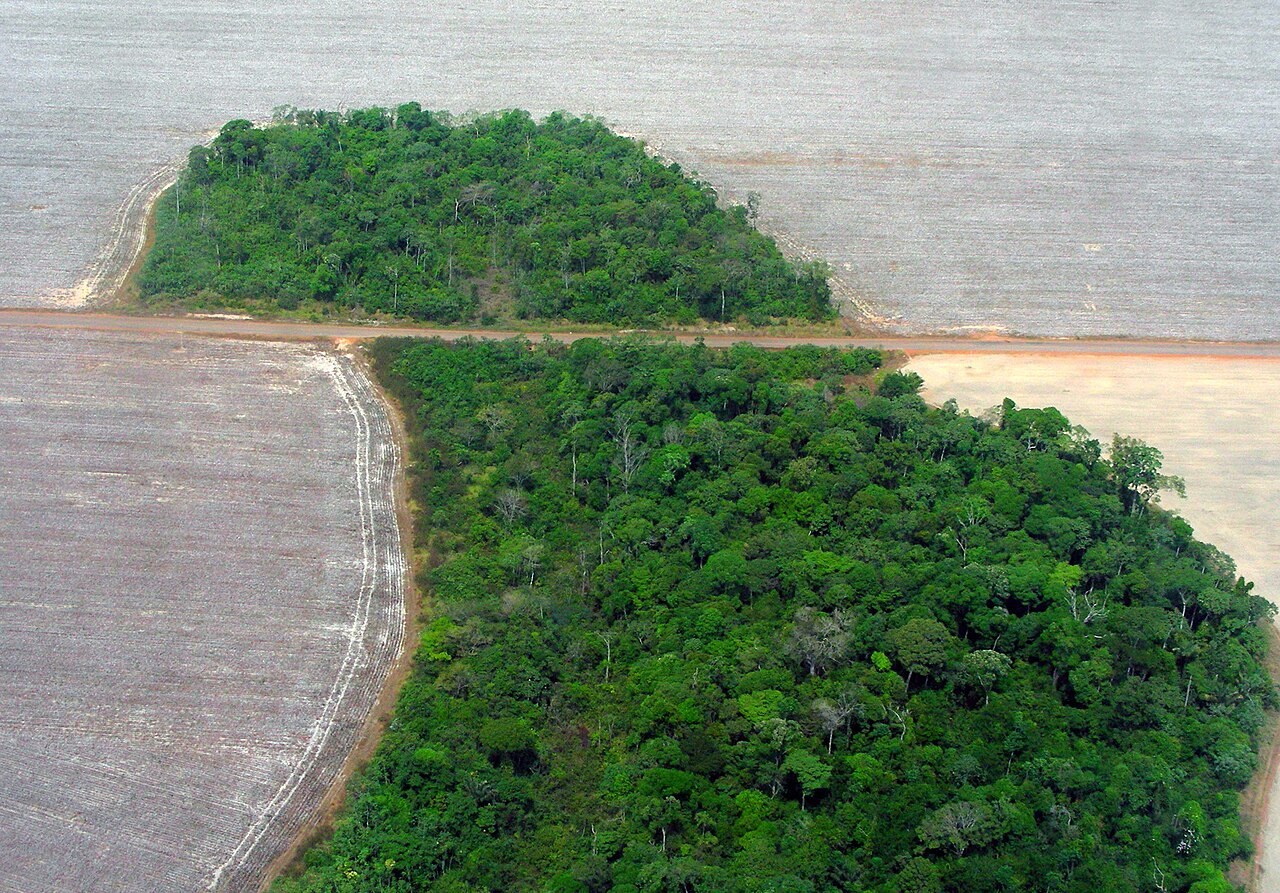
Aerial view of cleared land prepared for crops or cattle near Porto Velho, Rondônia, Brazil, with forest at the edge of the fields and along a stream.
Photo: Bruno Kelly, Amazônia Real, via Wikimedia Commons, licence Creative Commons Attribution 2.0. ( https://creativecommons.org/licenses/by/2.0/ )
New annual data from the Global Land Analysis and Discovery laboratory at the University of Maryland, available on Global Forest Watch, the platform of the World Resources Institute, show that the world lost 4.3 million hectares of tropical primary rainforest in 2025. The World Resources Institute describes this as an area roughly the size of Denmark, or 11 football (soccer) fields every minute. The laboratory tree cover loss data capture changes at approximately 30 by 30 metre resolution across all global land areas except Antarctica and other Arctic islands.
Loss of tropical primary rainforest fell by 36 percent from the record high of 2024, when the tropics lost 6.7 million hectares, driven largely by fires. Loss in 2025 is still 46 percent higher than a decade ago. The World Resources Institute says Brazil cut its loss of primary forest that was not burned by 41 percent compared with 2024, reaching its lowest level on record. Elizabeth Goldman, Co-Director of Global Forest Watch, said that part of the decline reflects a lull after an extreme fire year.
The World Resources Institute Global Forest Review focuses on primary forests in the humid tropics, which it describes as areas of mature rainforest that are especially important for biodiversity, carbon storage and regulating regional and local climate. It focuses on the tropics because that is where 94 percent of deforestation occurs. The figure of 4.3 million hectares covers humid tropical primary forest only. For all forests worldwide, tree cover loss in 2025 was 25.5 million hectares, and fires were responsible for 42 percent of it. Agricultural expansion remains the leading driver of tree cover loss overall.
The Global Forest Watch data explainer says that tree cover loss includes both loss widely considered to be deforestation, such as conversion of natural forest to agricultural land, and loss that is usually treated differently, such as timber harvesting in plantation forests or natural disturbances, which makes tree cover loss a wider measure than deforestation alone. The University of Maryland laboratory map of primary humid tropical forest was made for the year 2001 at 30-metre resolution from Landsat satellite imagery. The World Resources Institute expects El Niño conditions in 2026 to test whether countries are better prepared to prevent and respond to large-scale fires.
How tall the forest canopy is, measured by spaceborne lidar as a mean top height on a grid of about 1 kilometre.
Open the layer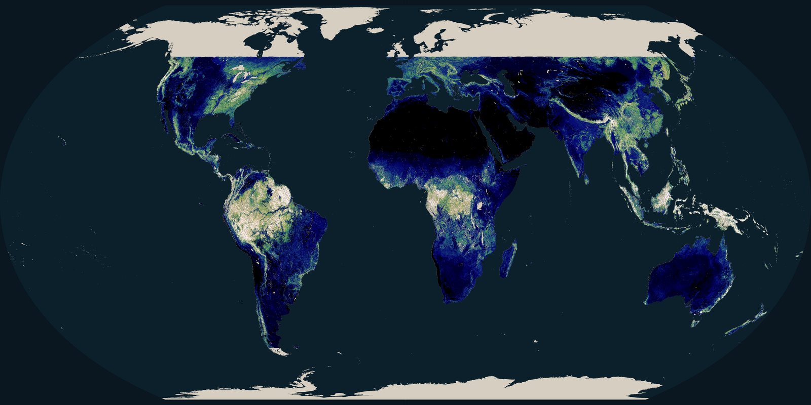
Aboveground biomass density from spaceborne lidar, mapped in tonnes per hectare.
Open the layer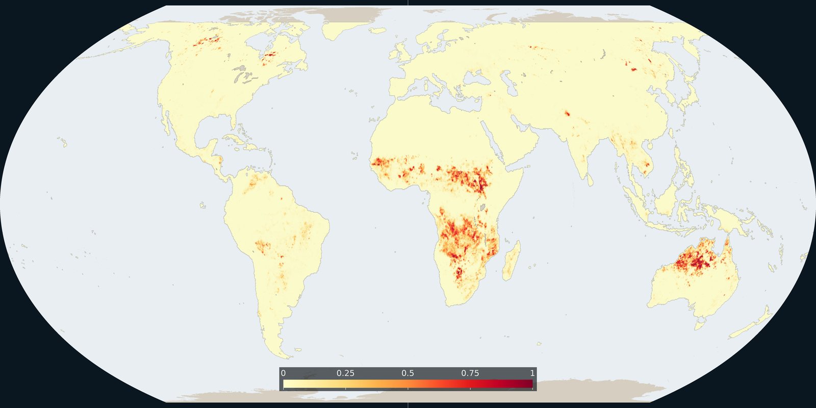
Where fire burned in 2023, as the annual burned fraction on a quarter-degree grid.
Open the layer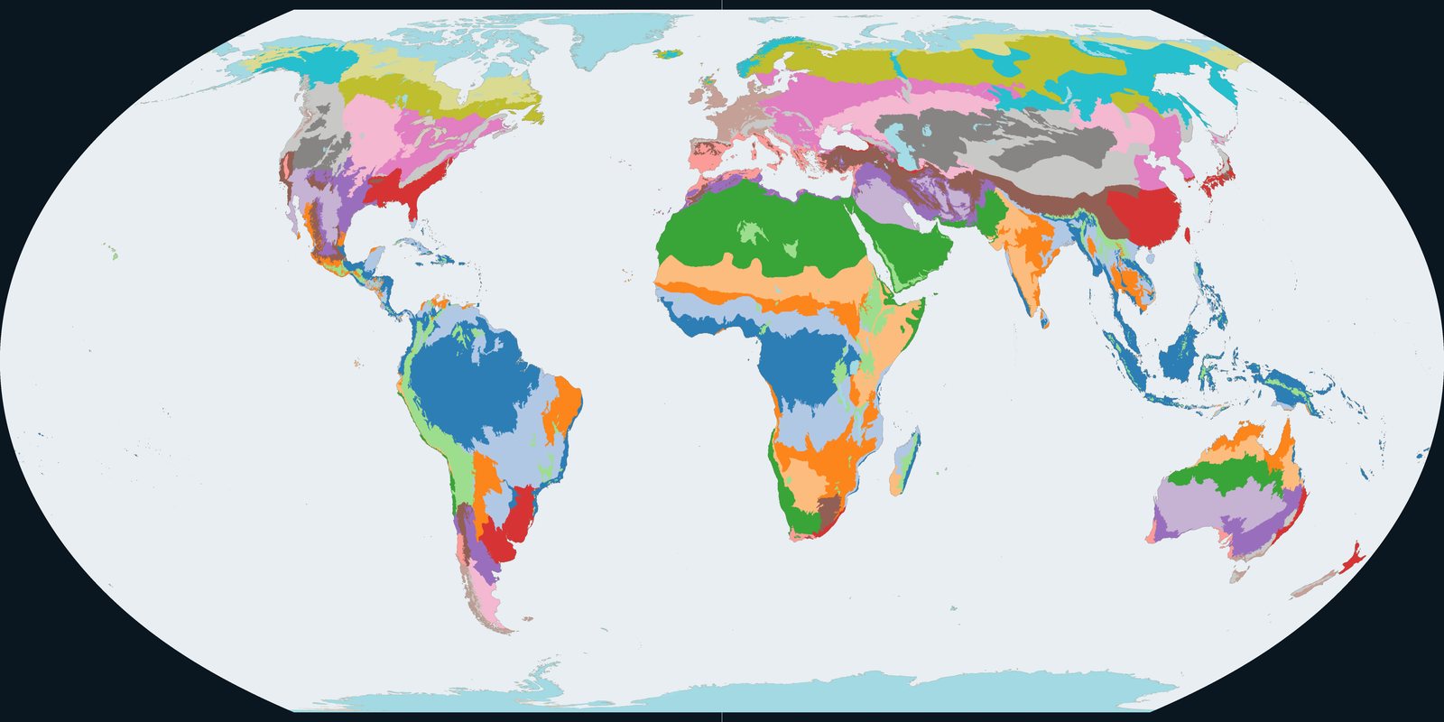
Climatic and ecological zones used for forest reporting: a zoning of land by climate and ecology.
Open the layer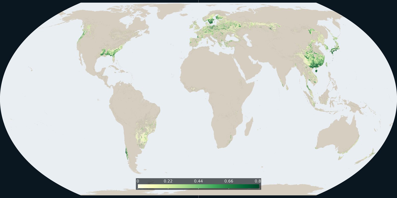
Where the 2015 forest-management map marks planted forest and short-rotation timber plantation, with the reported total of about 312 million hectares.
Open the layer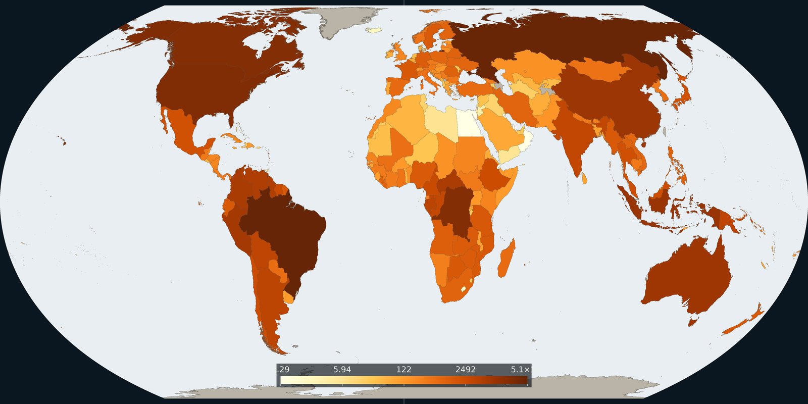
Country totals of living-biomass carbon in 2025, aboveground plus belowground, from the forest assessment, with the five-pool global total alongside.
Open the layer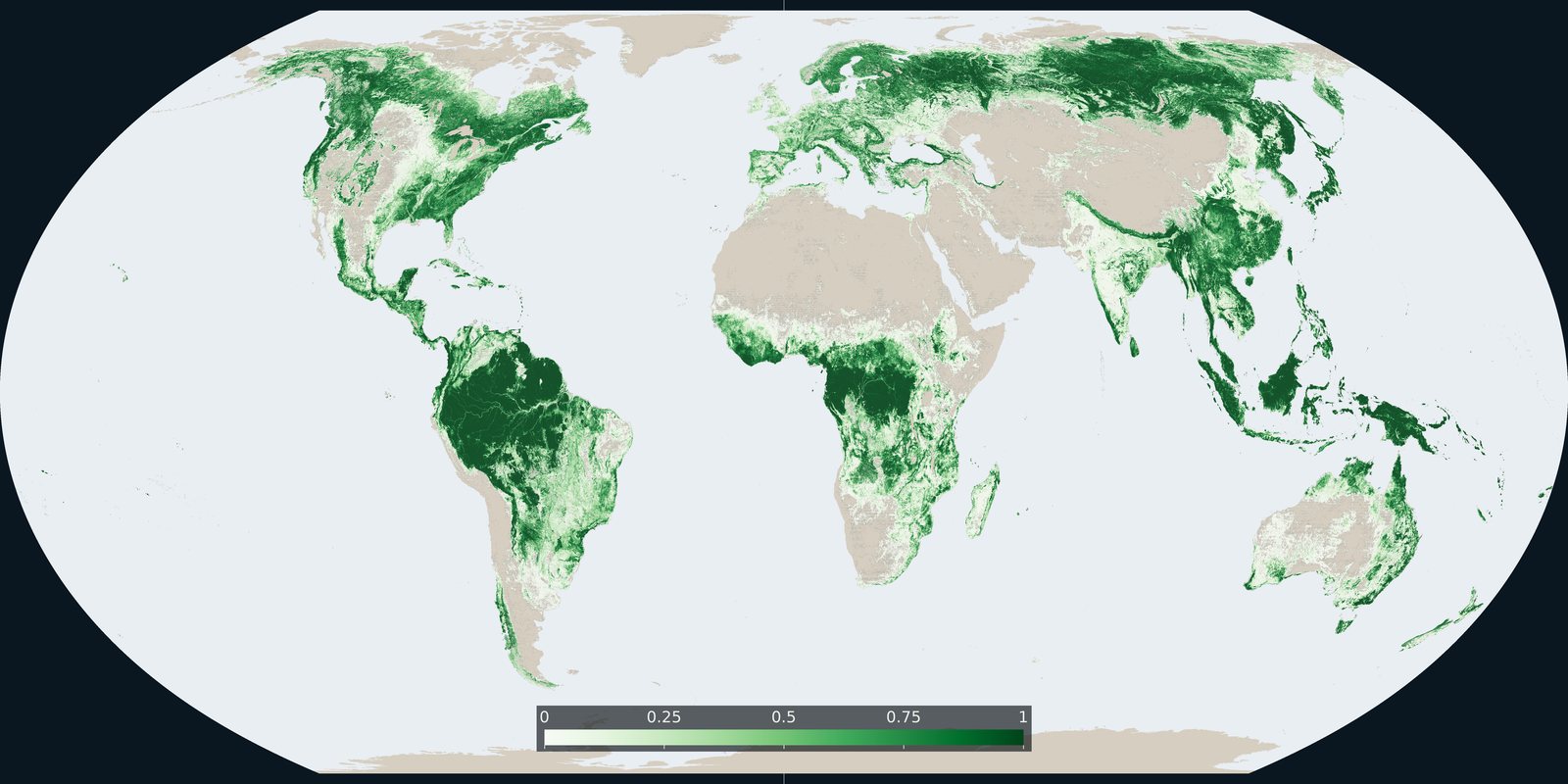
Where the 2021 land-cover map assigns the tree-cover class, counted as the share of each cell.
Open the layer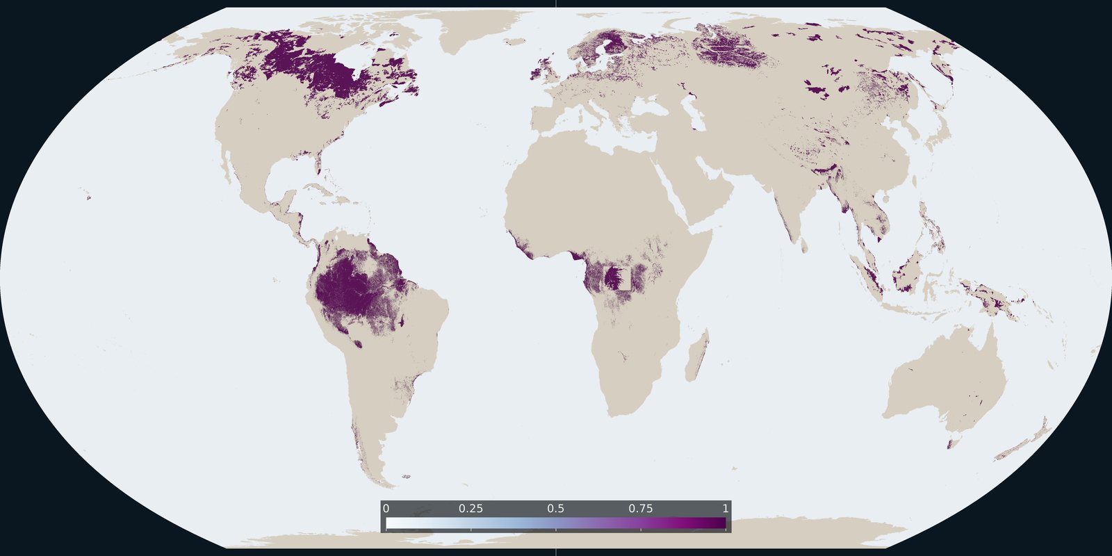
Where the peat map records peat: a global extent of organic soils.
Open the layer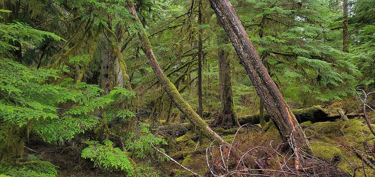
The Food and Agriculture Organization of the United Nations reports that forests cover 4.14 billion hectares, 32 percent of the world land, based on reports from 236 countries and areas.
Open the layer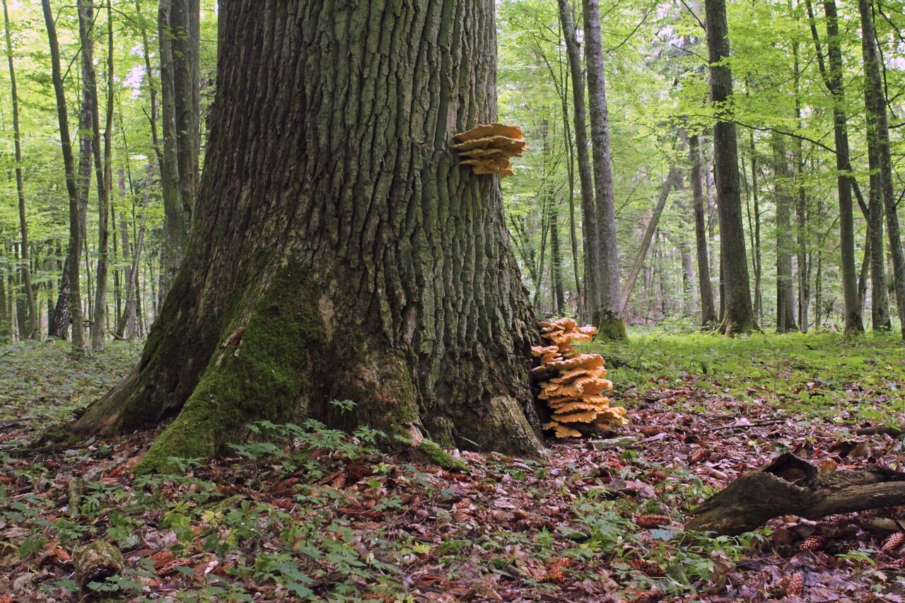
The Food and Agriculture Organization of the United Nations reports at least 1.18 billion hectares of primary forest, 29 percent of all forest: naturally regenerating forest of native tree species with no clearly visible signs of human activity.
Open the layerSource: Global Forest Resources Assessment 2025, primary forests
The Food and Agriculture Organization of the United Nations reports that the world forest area shrank by a net 4.12 million hectares a year in 2015 to 2025, down from 10.7 million hectares a year in 1990 to 2000.
Open the layer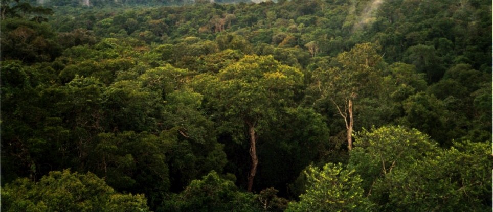
A 2015 study in the journal Nature combined 429,775 forest plot measurements with remote sensing and mapping layers and estimated that there are about 3.04 trillion trees on Earth.
Open the layerSource: Nature, Mapping tree density at a global scale (2015)
Definitions, sources, and the rest of the published set.
Open the layer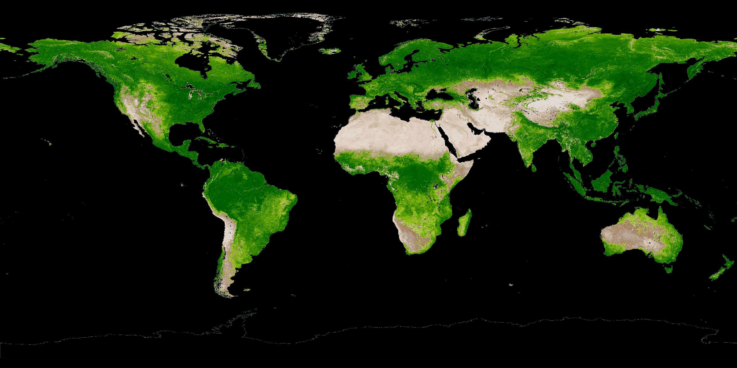
July canopy greenness from space, 2001-2025.
Open the layer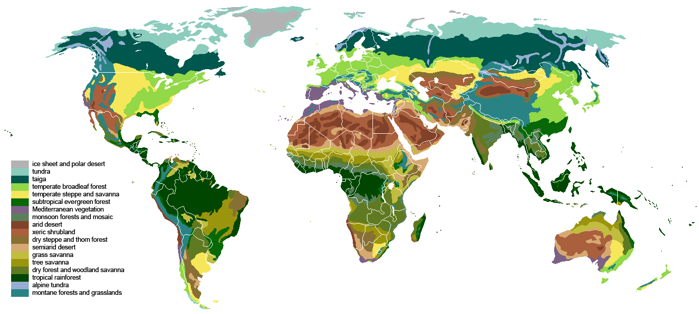
Ice-age vegetation, biomes, and land after people.
Open the layer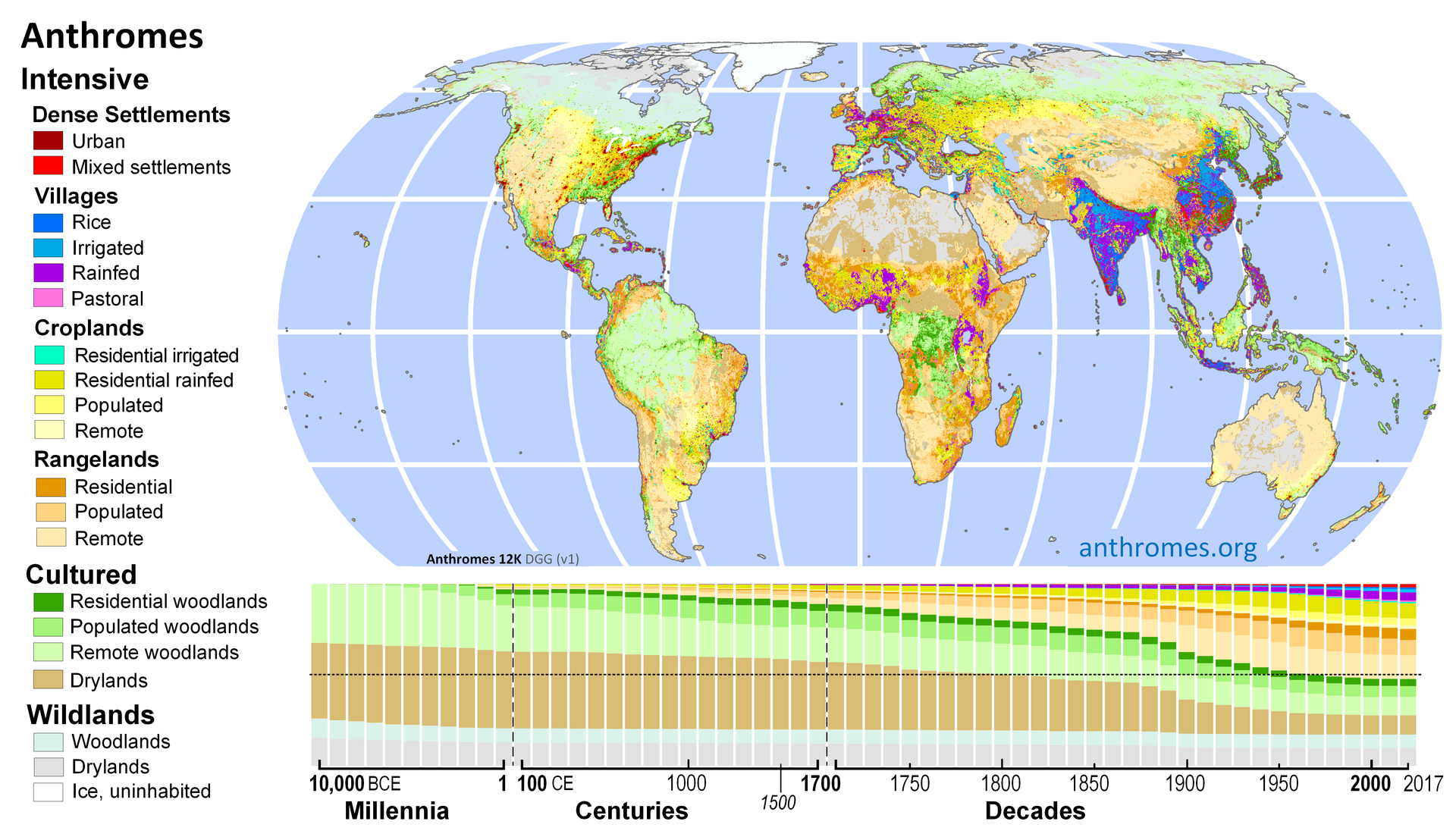
The long view, the years we can measure, and three possible paths.
Open the layer