

Water
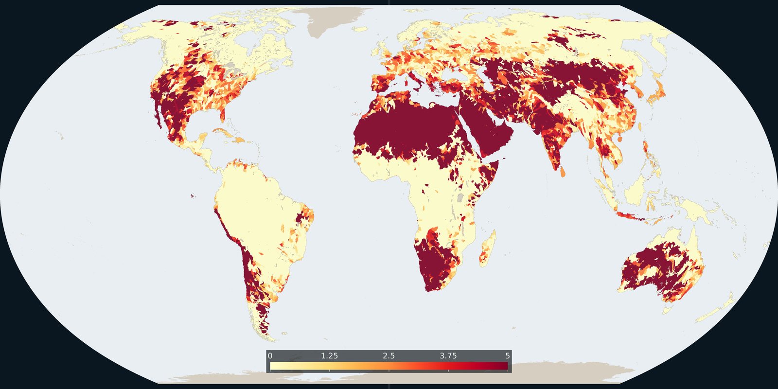
Water stress
WRI Aqueduct: where demand for water is high relative to available supply, a model, not a well log.
Read the card →Rivers, basins, groundwater, lakes, wetlands, flood hazard, and freshwater stress.
WRI Aqueduct: where demand for water is high relative to available supply, a model, not a well log.
Read the card →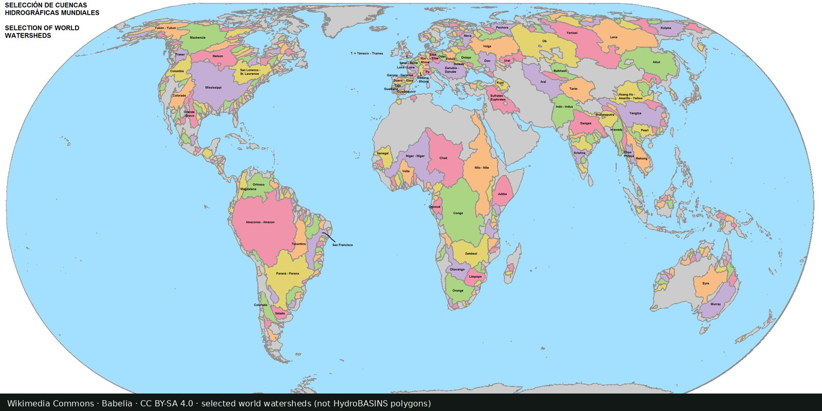
Nested sub-basin polygons for the whole planet (Pfafstetter levels), a hydrographic base map, not a stress index.
Read the card →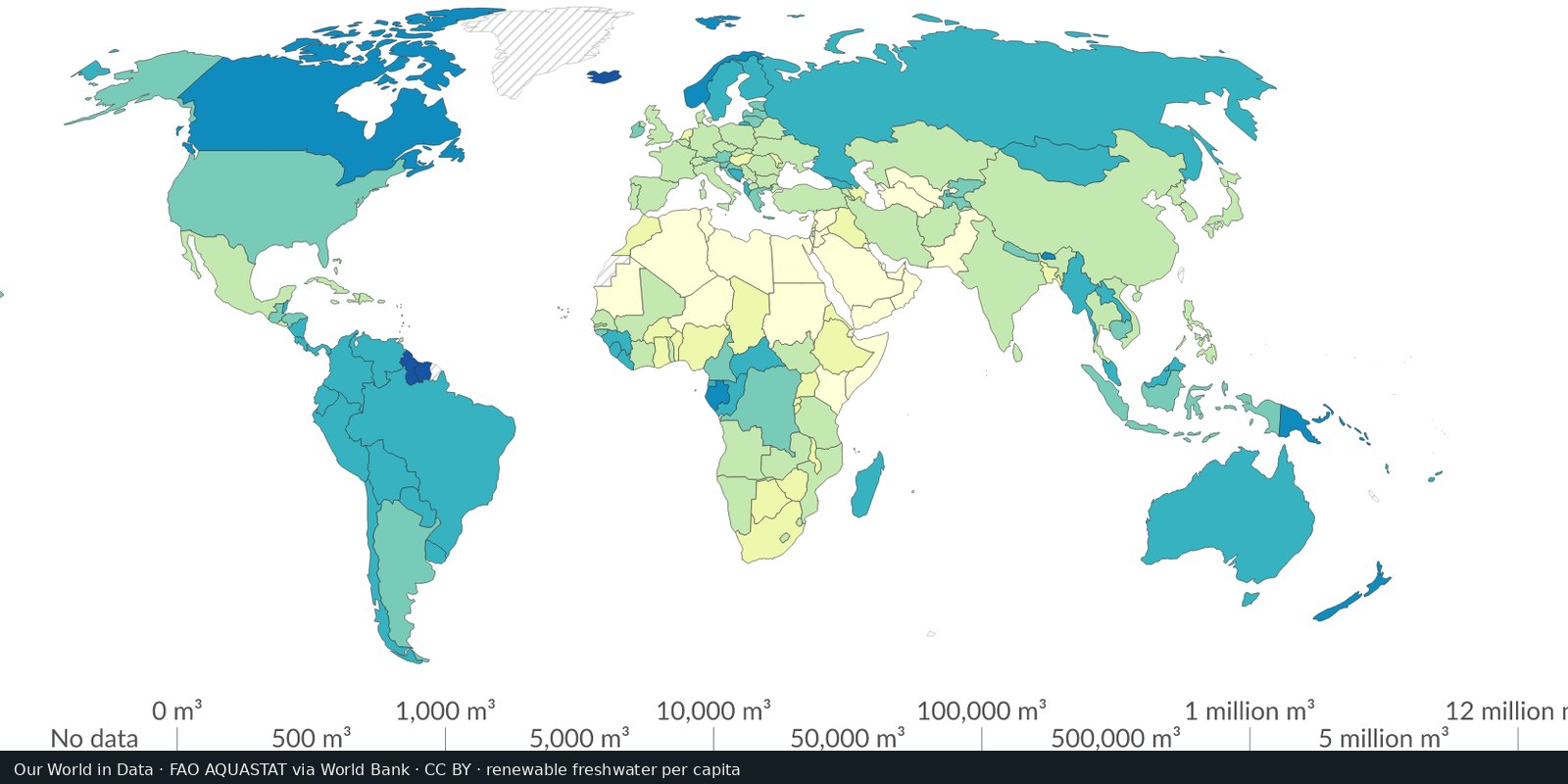
Country-level renewable water and withdrawals from FAO’s global water information system, statistics and country profiles, not a single stress raster.
Read the card →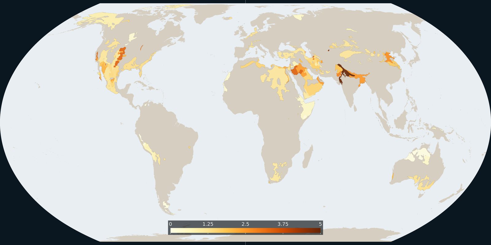
Where Aqueduct 4.0 scores a falling groundwater table, a basin risk score, not a WHYMAP aquifer map and not a well log.
Read the card →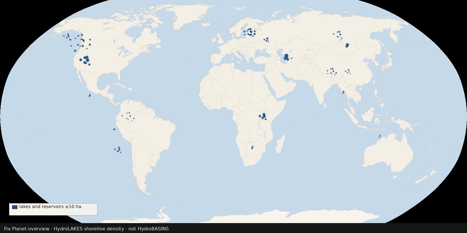 Fix Planet overview
Shoreline polygons for ~1.4 million lakes and reservoirs ≥10 ha, a lake inventory map, not river basins and not a stress index.
Read the card →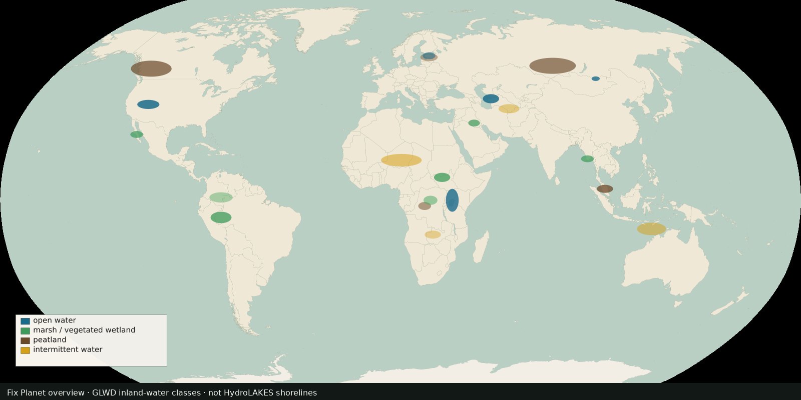 Fix Planet overview
Global inland waters in 33 waterbody and wetland classes, marshes, peatlands, intermittent water and more, not a second HydroLAKES shoreline layer.
Read the card →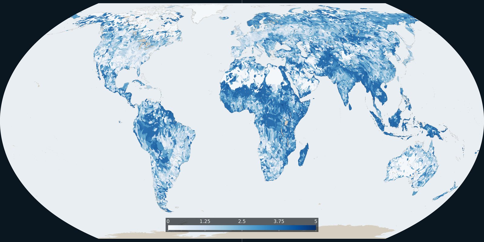
Baseline riverine flood risk from Aqueduct 4.0: a 0-5 basin score, not the water-stress score and not an inundation-depth map.
Read the card →