

Water
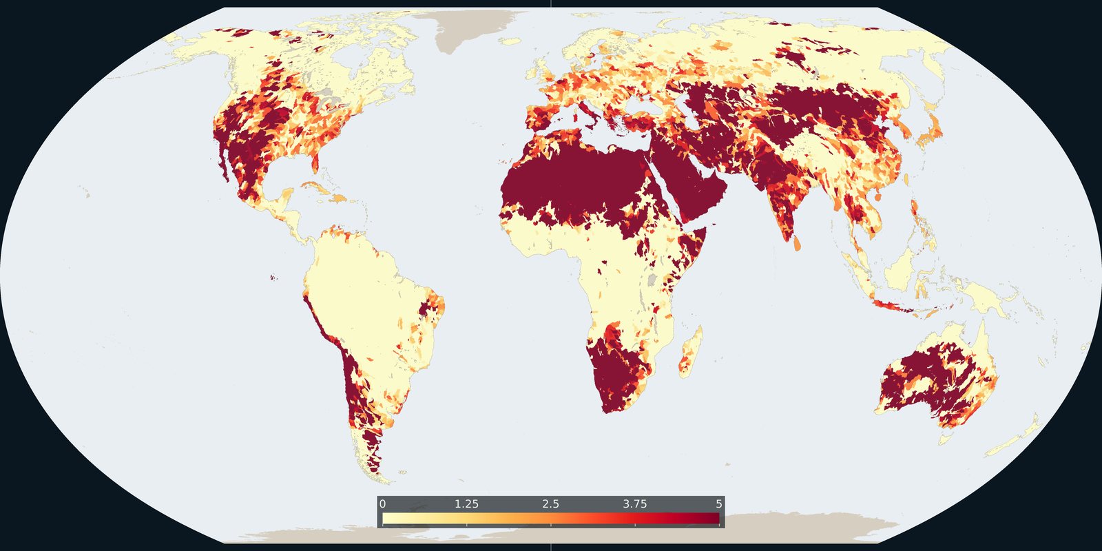
Water stress
WRI Aqueduct: where demand for water is high relative to available supply, a model, not a well log.
Read the card →Nested sub-basin polygons for the whole planet (Pfafstetter levels), a hydrographic base map, not a stress index.
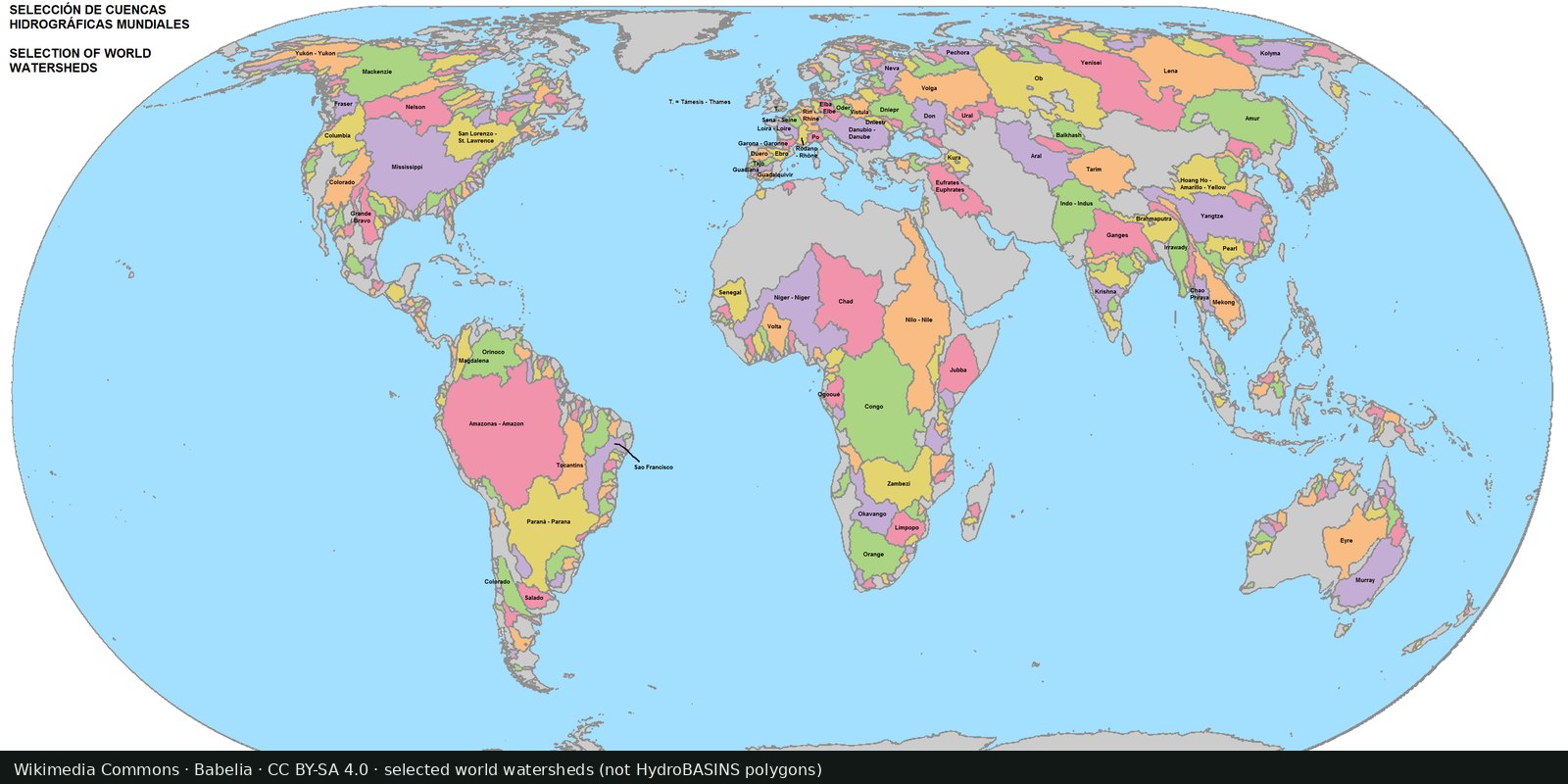
HydroBASINS, from HydroSHEDS, is a global set of hierarchically nested catchment polygons extracted from HydroSHEDS elevation hydrography at 15 arc-seconds. Twelve Pfafstetter levels run from continent-scale basins down to small sub-basins (about a million polygons at the finest breakdown). It is a hydrographic base layer, who drains where, not a model of demand versus supply. WRI Aqueduct (the Water stress card) is the risk atlas. The HydroSHEDS hub sits at hydrosheds.org.
HydroSHEDS: HydroBASINS
Vintage: 2013
https://www.hydrosheds.org/products/hydrobasins
HydroBASINS is distributed for scientific, educational and commercial use under the HydroSHEDS license (cite Lehner & Grill 2013). The preview is Babelia’s Hidromundi watershed selection (CC BY-SA 4.0), not a HydroSHEDS product figure.
A colored polygon is a drainage unit, not a country and not a drought score. Nested levels let you zoom. Endorheic basins do not reach an ocean. Open HydroBASINS for the downloadable polygons. The preview is a Commons selection of world watersheds, not the HydroBASINS shapefile.
DEM-derived divides can miss karst, canals, and human inter-basin transfers. Antarctica is excluded. Do not read this thumbnail as water rights, water stress, or a forecast of conflict.
Open source map → WRI Aqueduct: where demand for water is high relative to available supply, a model, not a well log.
Read the card →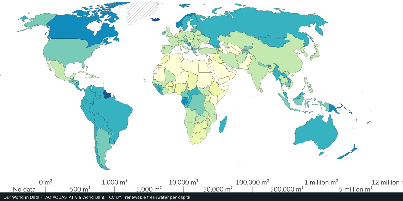
Country-level renewable water and withdrawals from FAO’s global water information system, statistics and country profiles, not a single stress raster.
Read the card →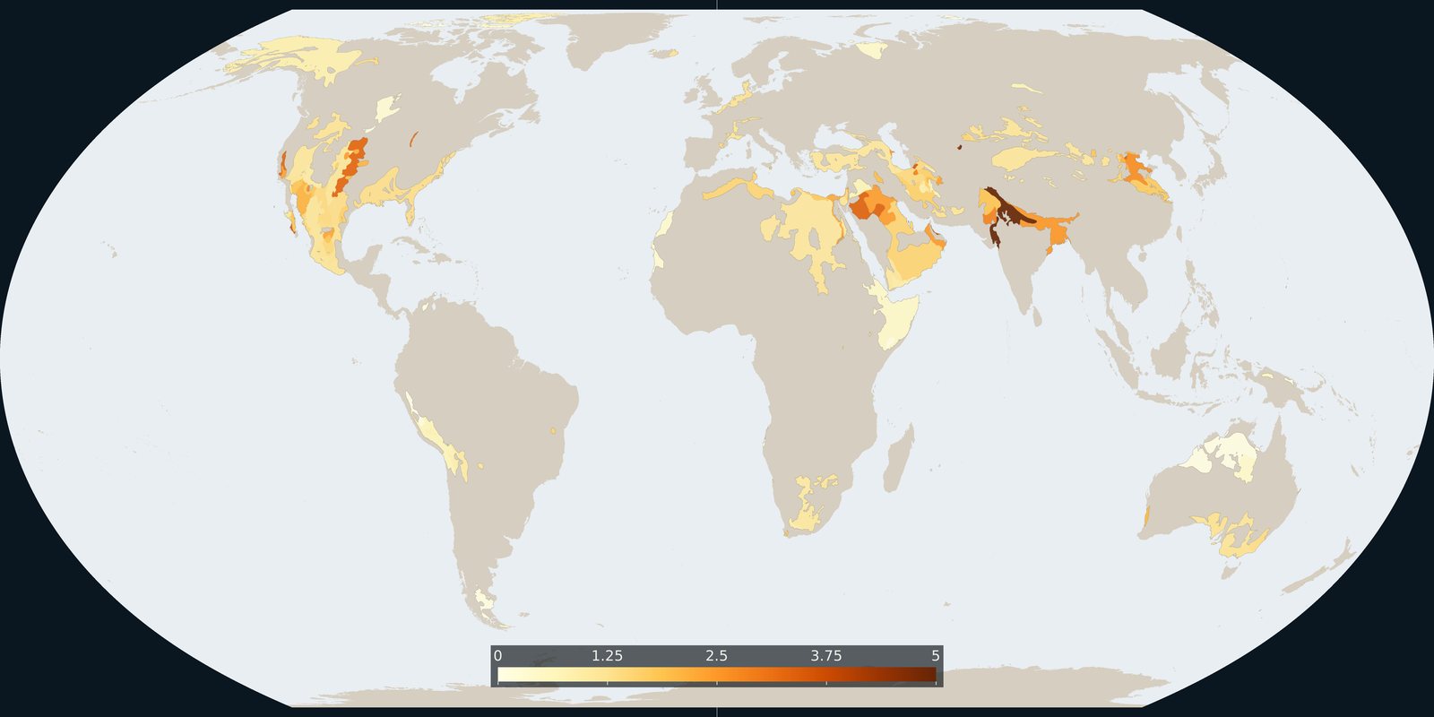
Where Aqueduct 4.0 scores a falling groundwater table, a basin risk score, not a WHYMAP aquifer map and not a well log.
Read the card →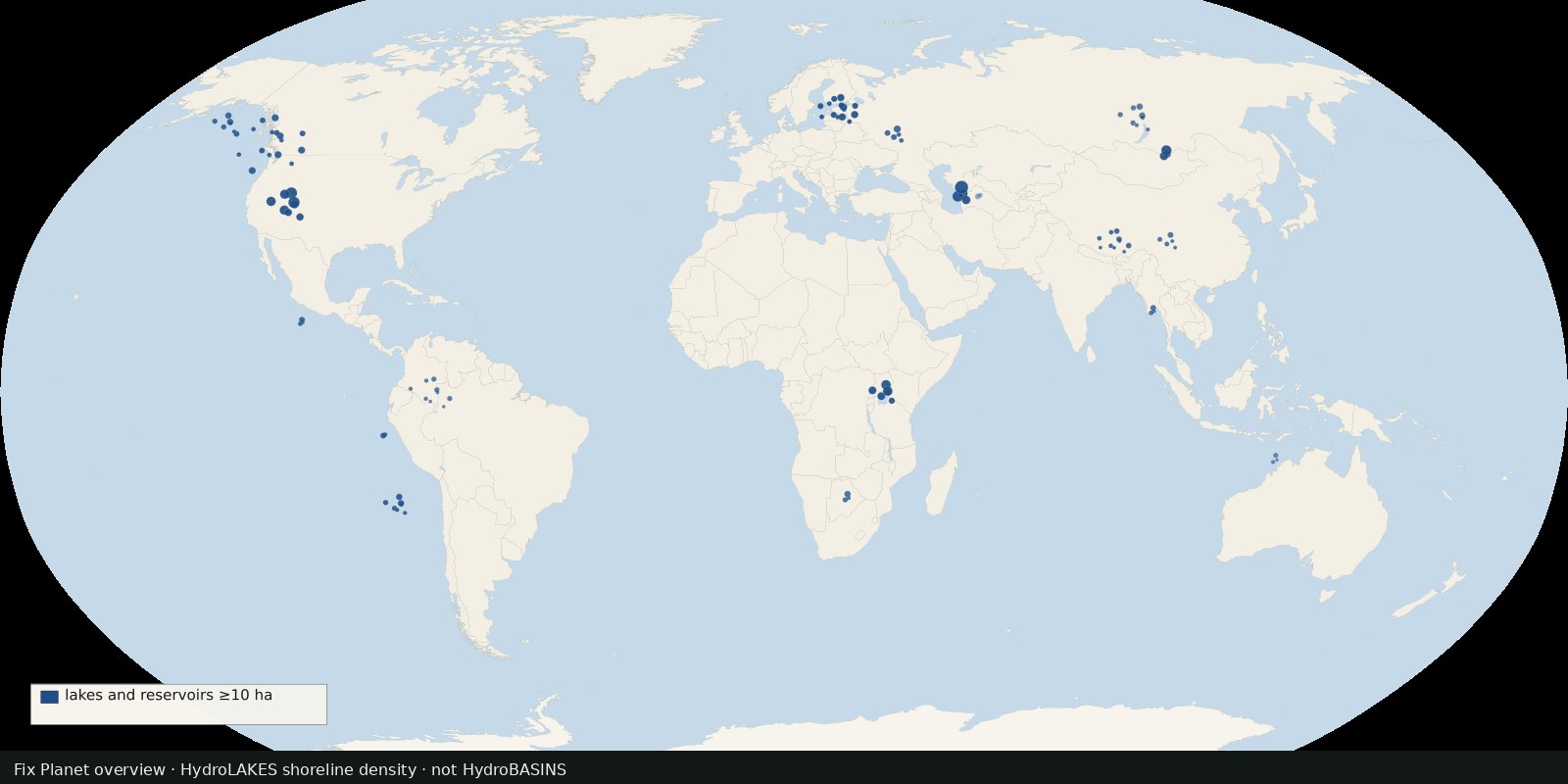 Fix Planet overview
Shoreline polygons for ~1.4 million lakes and reservoirs ≥10 ha, a lake inventory map, not river basins and not a stress index.
Read the card →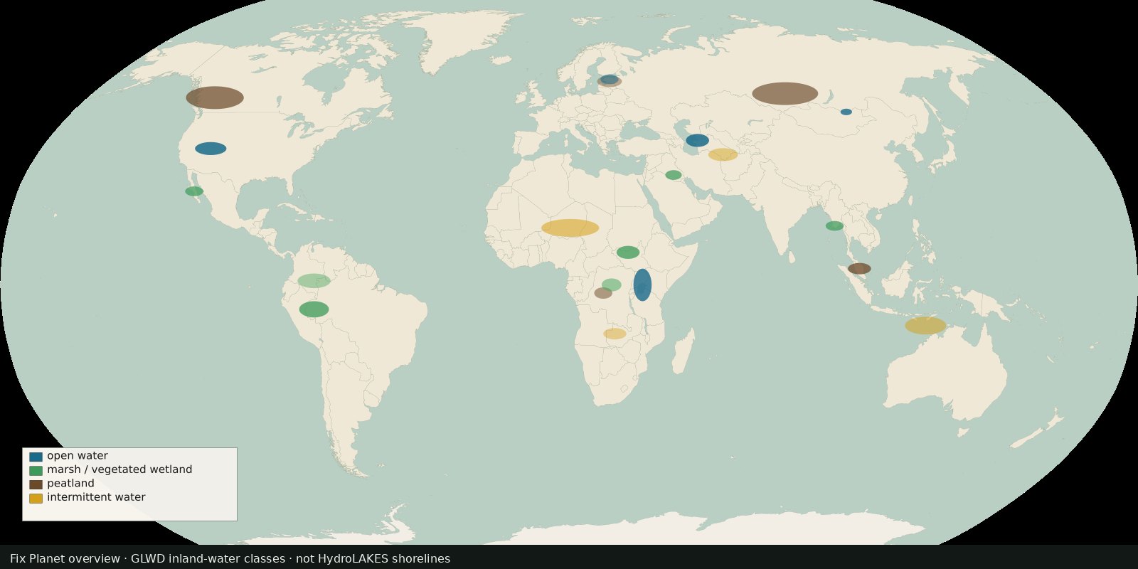 Fix Planet overview
Global inland waters in 33 waterbody and wetland classes, marshes, peatlands, intermittent water and more, not a second HydroLAKES shoreline layer.
Read the card →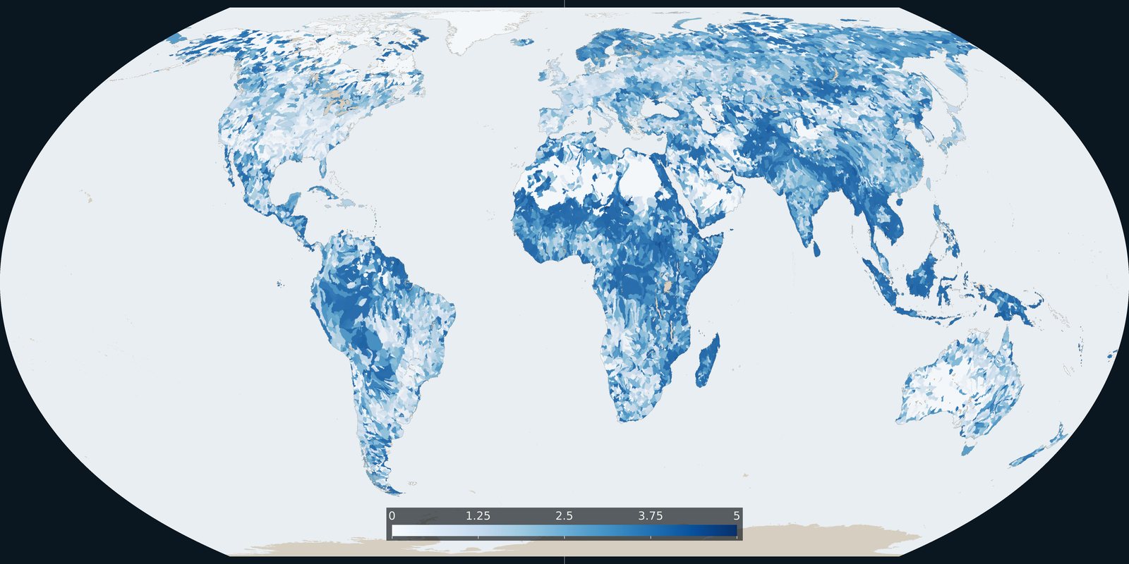
Baseline riverine flood risk from Aqueduct 4.0: a 0-5 basin score, not the water-stress score and not an inundation-depth map.
Read the card →