

Water
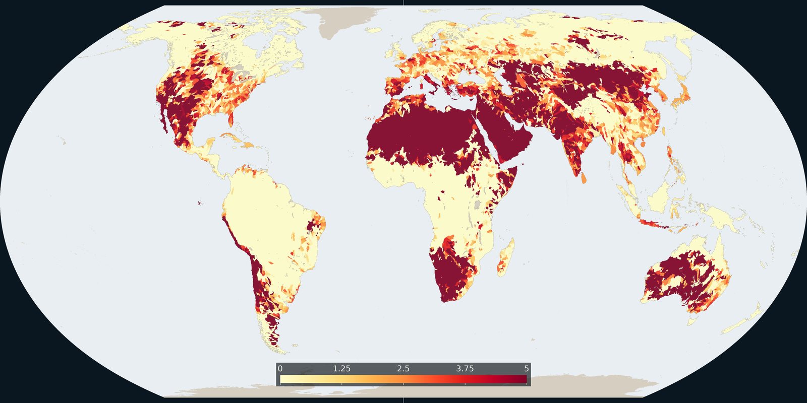
Water stress
WRI Aqueduct: where demand for water is high relative to available supply, a model, not a well log.
Read the card →Shoreline polygons for ~1.4 million lakes and reservoirs ≥10 ha, a lake inventory map, not river basins and not a stress index.
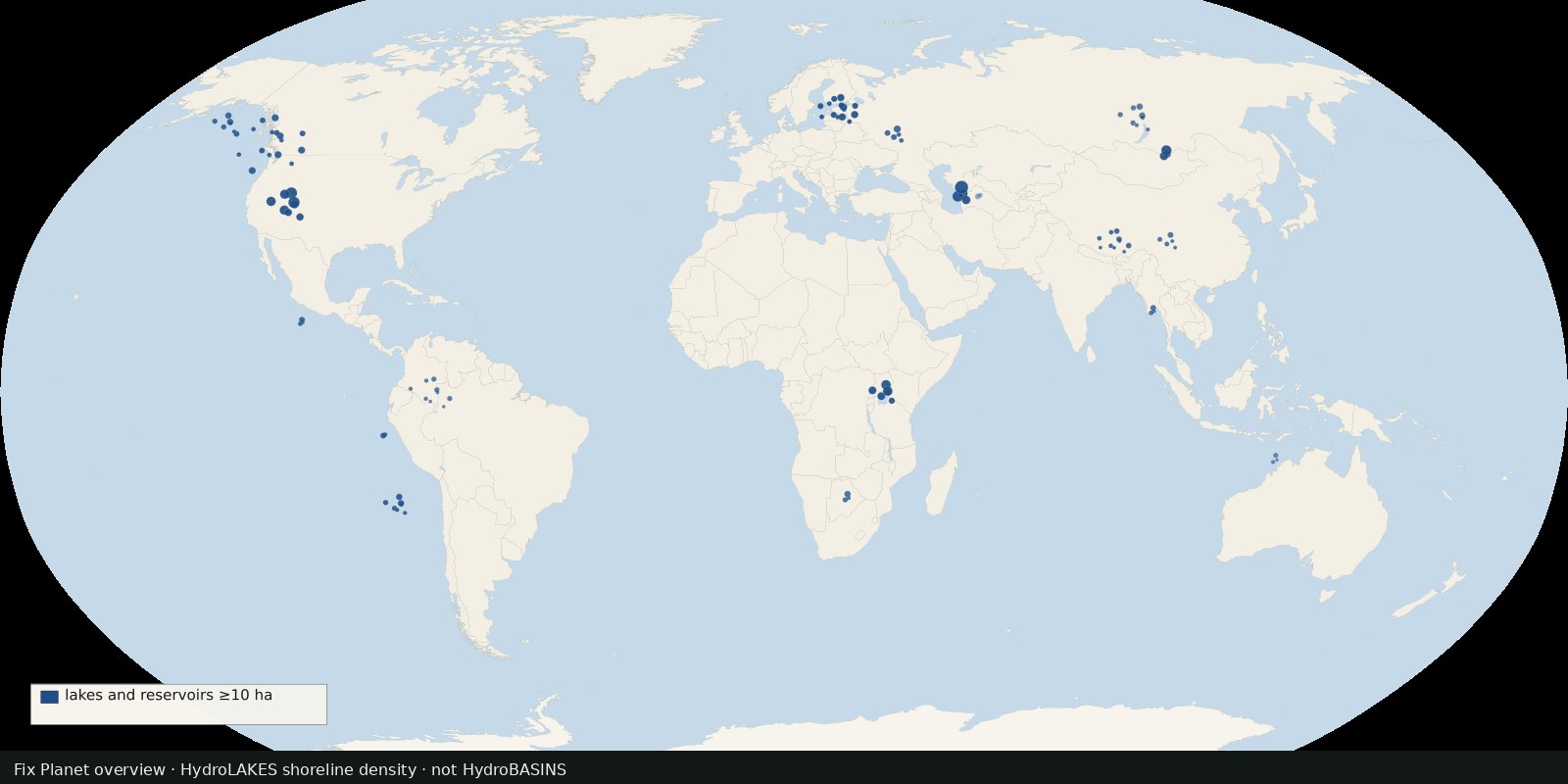
HydroLAKES (HydroSHEDS secondary product) compiles shoreline polygons for about 1.43 million lakes and reservoirs with surface area ≥10 ha worldwide, with attributes for area, shoreline length, and modelled mean depth / volume / residence time. Co-registered to HydroSHEDS river and basin IDs. Cite Messager et al., Nature Communications 2016.
Live HydroBASINS answers “who drains where.” The shelf still has no dedicated lake card. HydroLAKES stays in the same public HydroSHEDS family already used for basins, without duplicating the Pfafstetter polygon story.
A polygon is a lake or reservoir shoreline in the dataset, not a wetland class map (see GLWD) and not water quality. Small ponds under 10 ha are out of scope. Volume and depth for most lakes are model estimates, not bathymetric surveys. Open hydrosheds.org/products/hydrolakes for downloads; the Nature Communications paper is the scholarly cite.
A thumbnail is lake-district density, not the HydroLAKES shapefile and not a wetland class map. Ponds under 10 ha are out of scope. Volume and depth for most lakes are model estimates, not bathymetric surveys.
The preview is a Fix Planet schematic of well-known lake districts, not a HydroSHEDS product figure and not a second river-basin fill. HydroLAKES is distributed with the HydroSHEDS license (cite Messager et al. 2016). Open the HydroLAKES product page for downloads.
Open source map → WRI Aqueduct: where demand for water is high relative to available supply, a model, not a well log.
Read the card →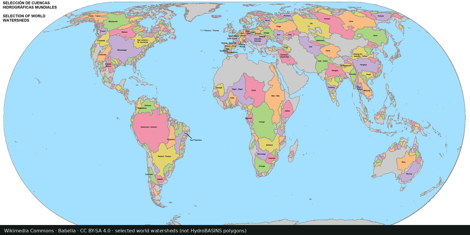
Nested sub-basin polygons for the whole planet (Pfafstetter levels), a hydrographic base map, not a stress index.
Read the card →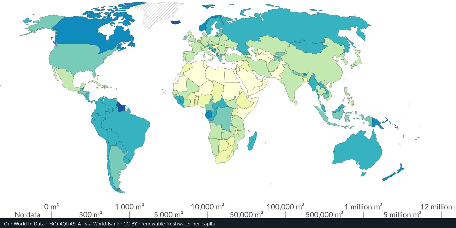
Country-level renewable water and withdrawals from FAO’s global water information system, statistics and country profiles, not a single stress raster.
Read the card →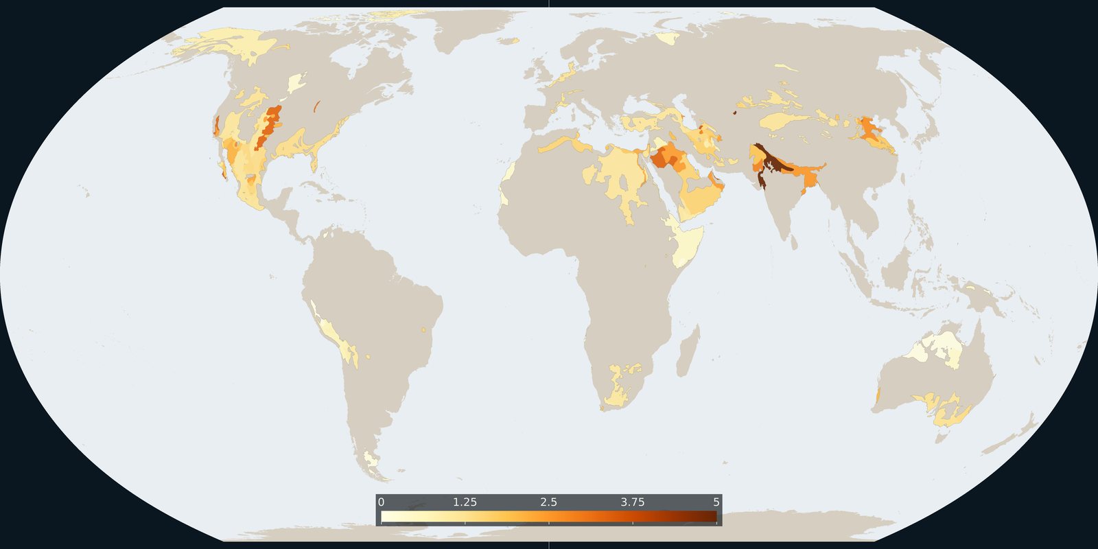
Where Aqueduct 4.0 scores a falling groundwater table, a basin risk score, not a WHYMAP aquifer map and not a well log.
Read the card →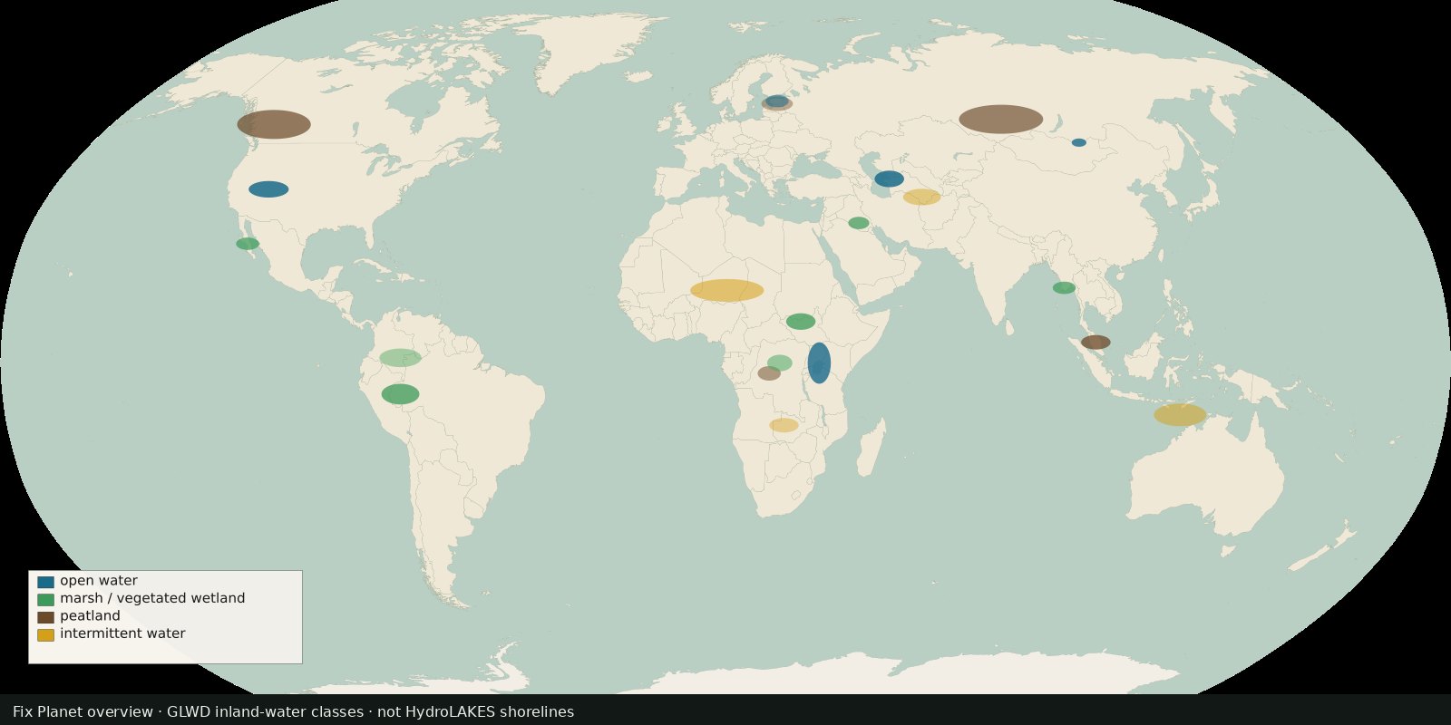 Fix Planet overview
Global inland waters in 33 waterbody and wetland classes, marshes, peatlands, intermittent water and more, not a second HydroLAKES shoreline layer.
Read the card →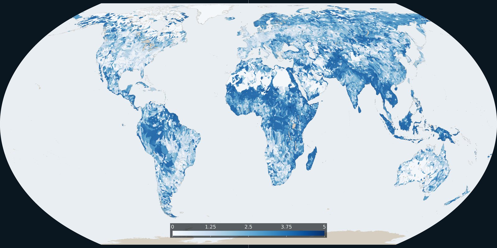
Baseline riverine flood risk from Aqueduct 4.0: a 0-5 basin score, not the water-stress score and not an inundation-depth map.
Read the card →