

Water
Water stress
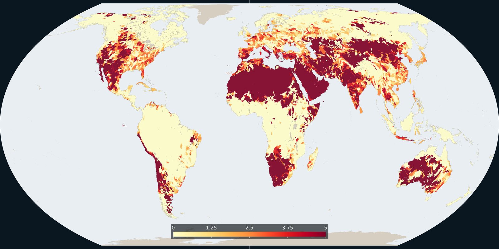
WRI Aqueduct: where demand for water is high relative to available supply, a model, not a well log.
Read the card →Country-level renewable water and withdrawals from FAO’s global water information system, statistics and country profiles, not a single stress raster.
FAO AQUASTAT compiles renewable water resources, withdrawals, and irrigation statistics, plus country and basin profiles. It is a ledger of national water accounts, not a basin-scale risk model and not a well log. Do not confuse it with WRI Aqueduct (the Water stress card) or with a groundwater-level map. IGRAC is a different product and is not this card.
FAO AQUASTAT
Vintage: 2022
https://www.fao.org/aquastat/en/
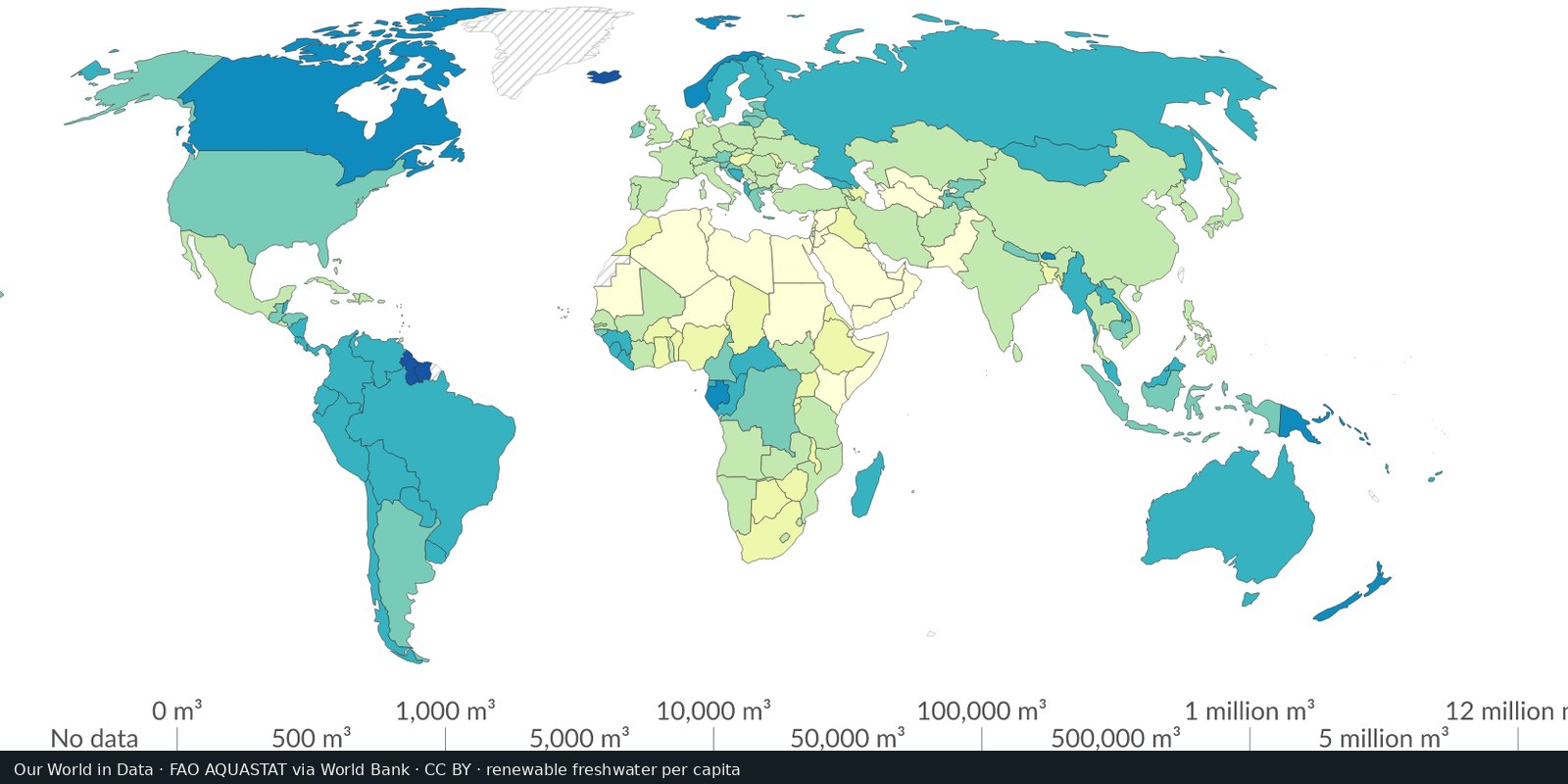
AQUASTAT is FAO’s system; cite FAO. We host a cropped Our World in Data map export (CC BY) of renewable freshwater resources per capita, sourced from AQUASTAT via the World Bank. Open FAO AQUASTAT for the current tables.
A country mean hides cities that import water and farms that run dry. Transboundary rivers are shared; AQUASTAT records national accounts. Open the AQUASTAT portal for tables and profiles. The preview is an Our World in Data country map of renewable freshwater per person (AQUASTAT via World Bank), not Aqueduct basins.
National statistics lag and definitions differ. “Renewable” is not the same as accessible or clean. Do not invent a ranking of thirsty countries from the thumbnail.
Open source map → WRI Aqueduct: where demand for water is high relative to available supply, a model, not a well log.
Read the card →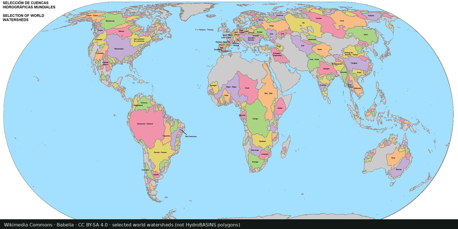
Nested sub-basin polygons for the whole planet (Pfafstetter levels), a hydrographic base map, not a stress index.
Read the card →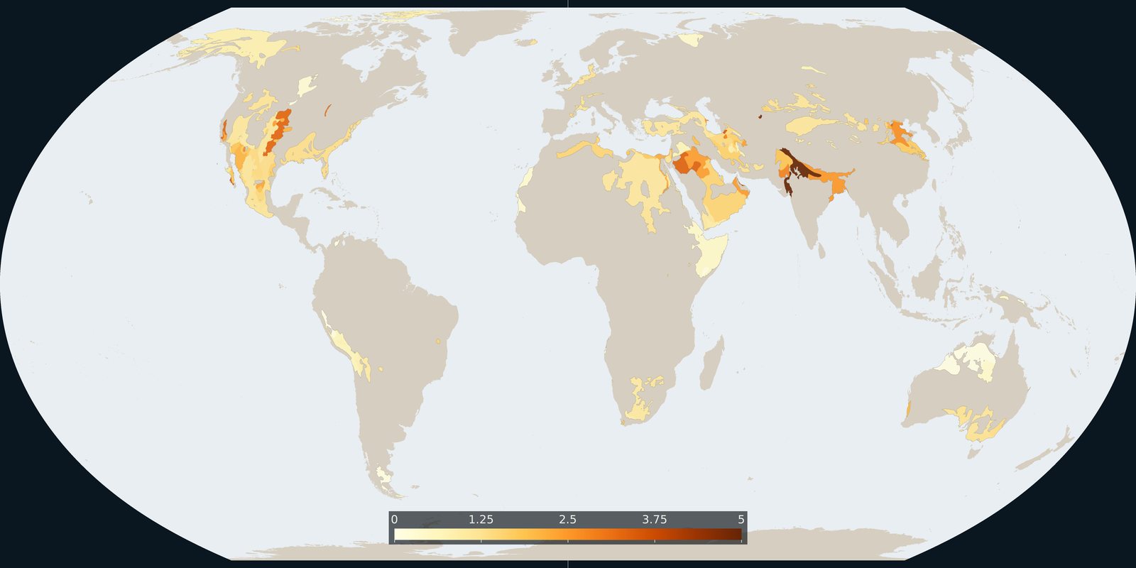
Where Aqueduct 4.0 scores a falling groundwater table, a basin risk score, not a WHYMAP aquifer map and not a well log.
Read the card →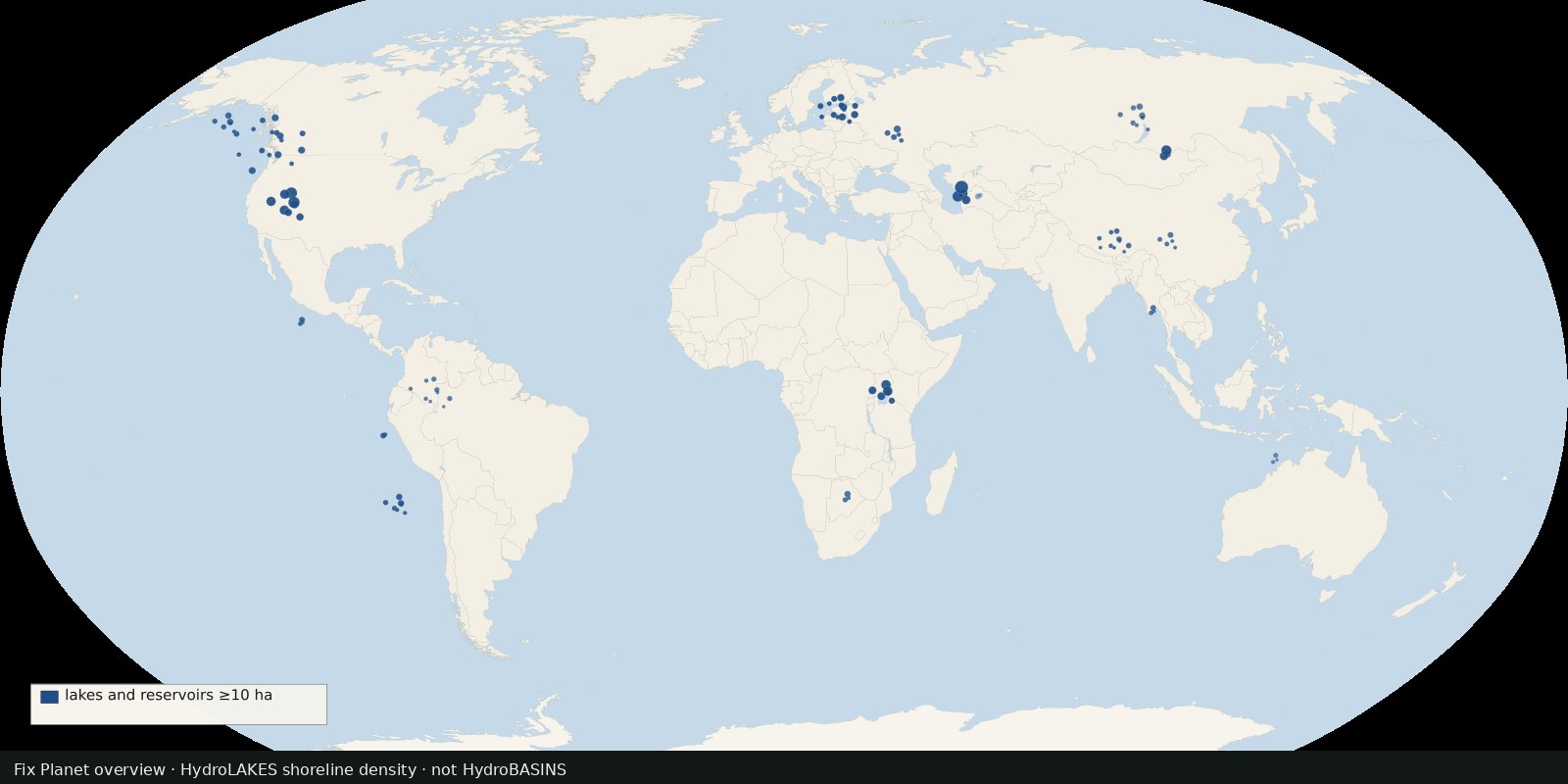 Fix Planet overview
Shoreline polygons for ~1.4 million lakes and reservoirs ≥10 ha, a lake inventory map, not river basins and not a stress index.
Read the card →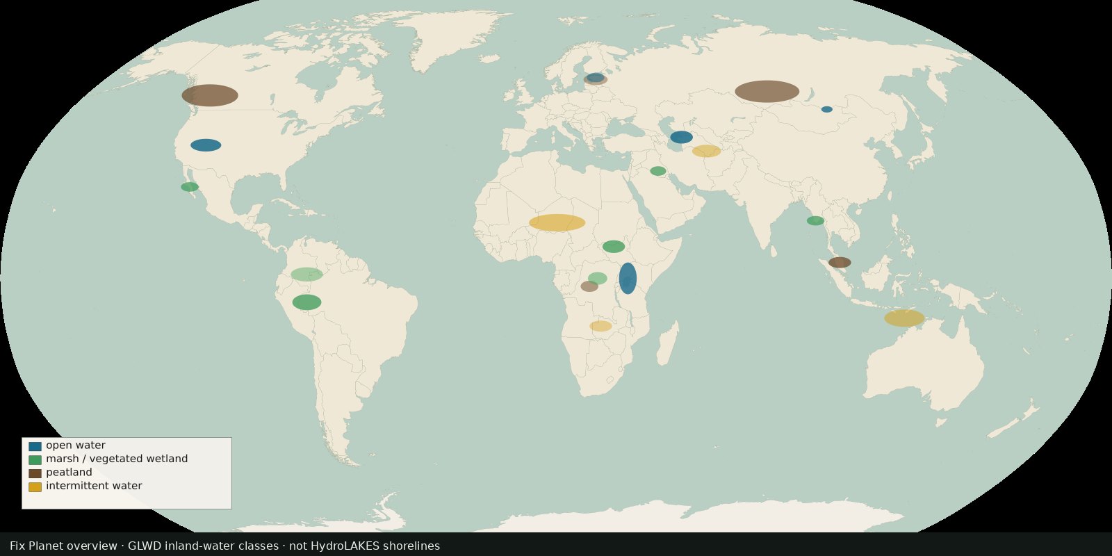 Fix Planet overview
Global inland waters in 33 waterbody and wetland classes, marshes, peatlands, intermittent water and more, not a second HydroLAKES shoreline layer.
Read the card →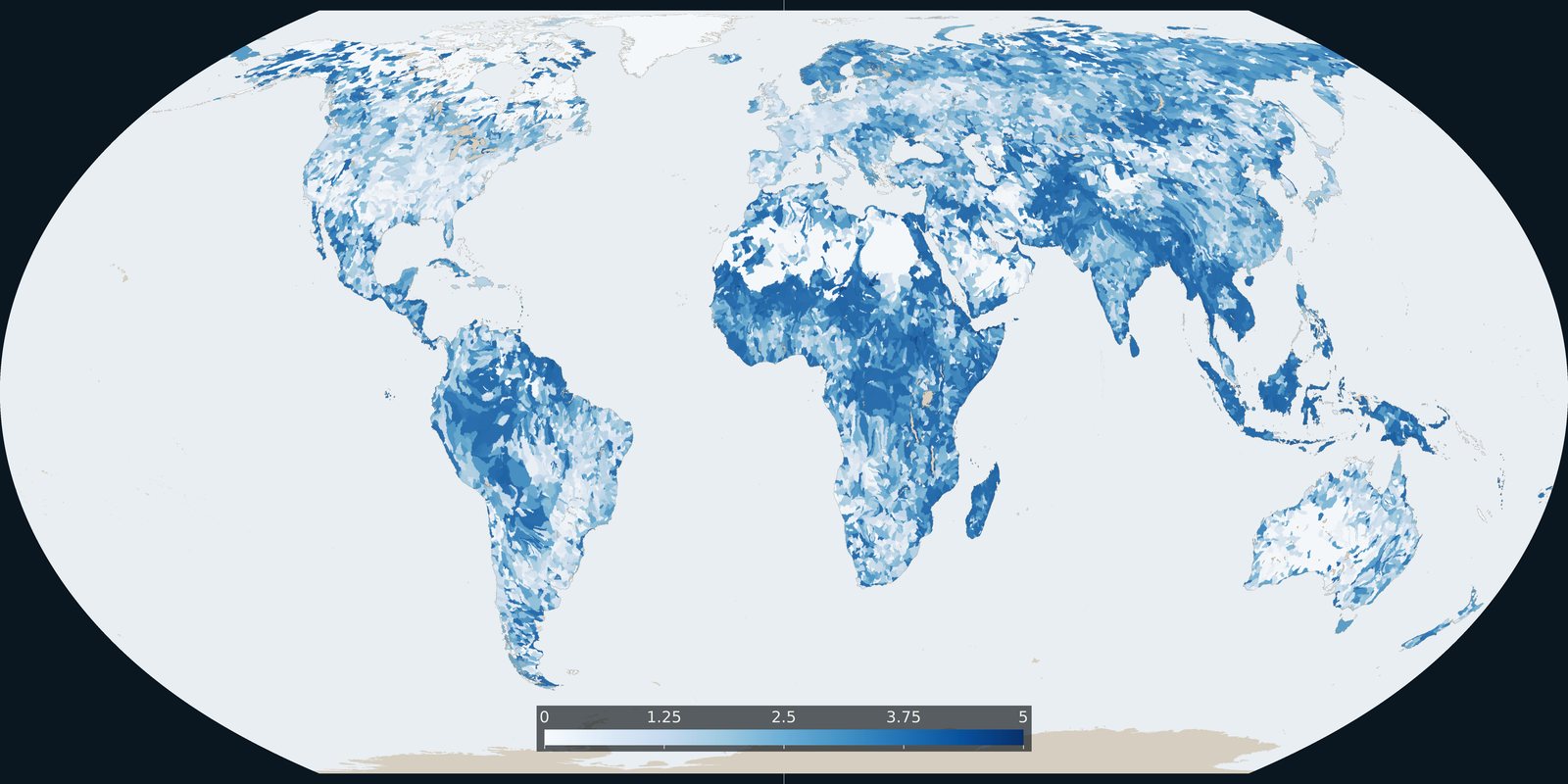
Baseline riverine flood risk from Aqueduct 4.0: a 0-5 basin score, not the water-stress score and not an inundation-depth map.
Read the card →