

Political
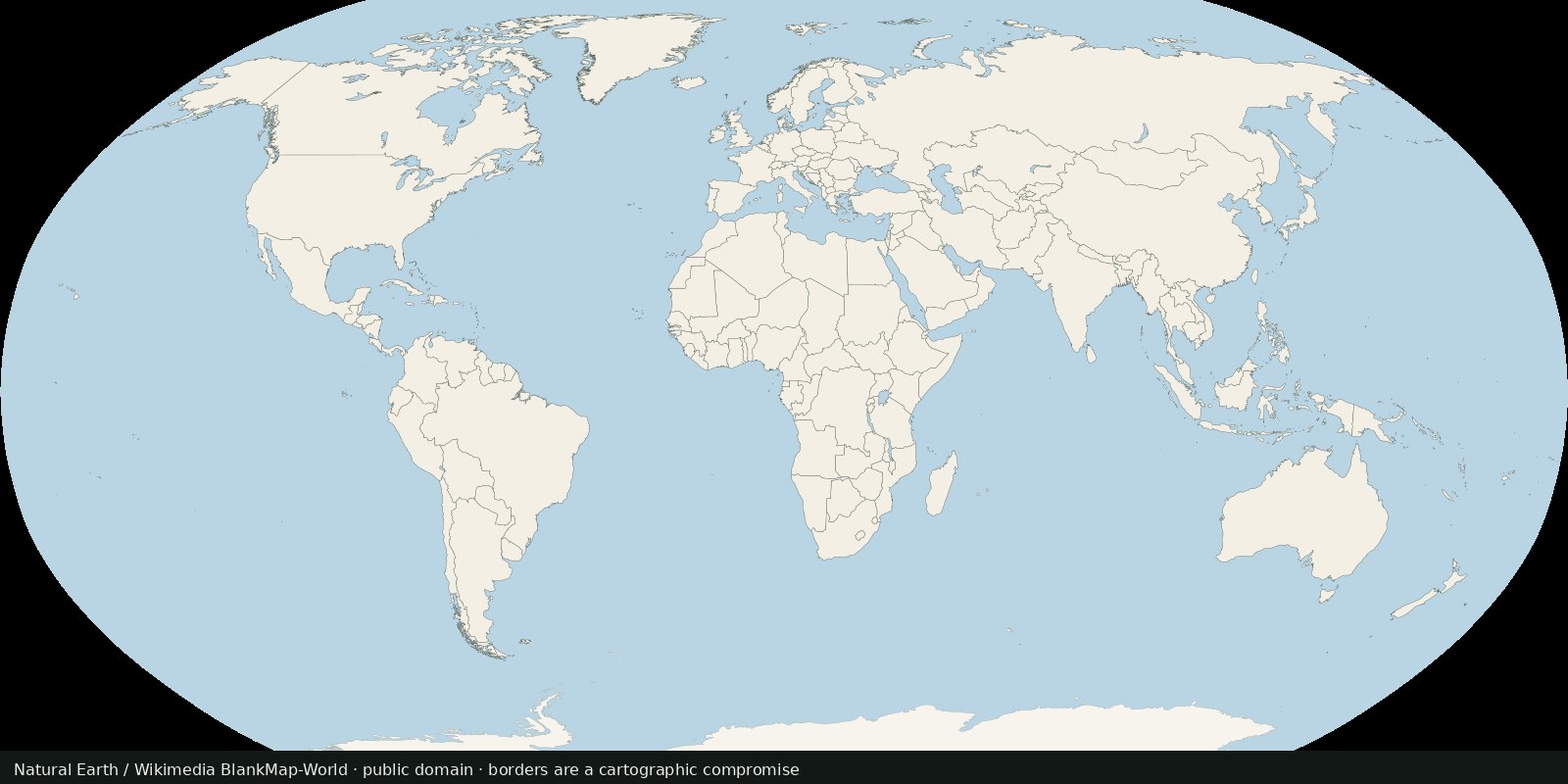
World countries and borders
A public-domain political base: who administers which polygon, with the usual disputed-border caveats.
Read the card →Maritime EEZ polygons: who claims which ocean band. Complements land borders; not a second countries layer.
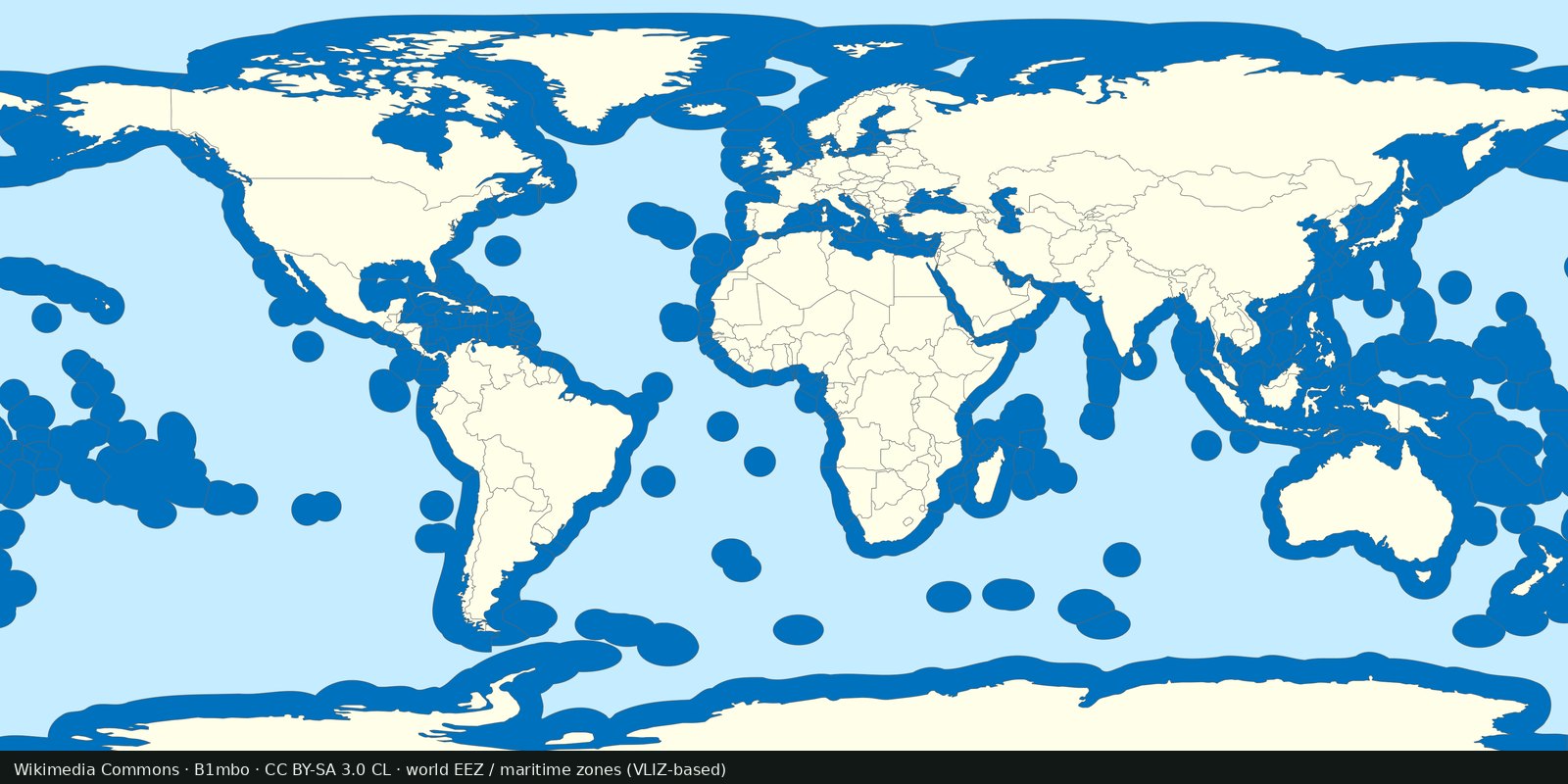
An exclusive economic zone is generally a band out to 200 nautical miles from a coastal baseline, where a state has sovereign rights over resources in the water and seabed. Marine Regions (Flanders Marine Institute) publishes a global EEZ geodatabase used as the usual public reference. This is maritime jurisdiction, not a second Natural Earth admin-0 countries map. The Marine Regions hub is marineregions.org.
Marine Regions: EEZ (Flanders Marine Institute)
Vintage: 2023
https://www.marineregions.org/eez.php
Marine Regions EEZ data are typically CC BY 4.0 (cite Flanders Marine Institute). The preview is B1mbo’s Commons world EEZ / territorial-waters schematic (CC BY-SA 3.0 CL), based on VLIZ maritime boundaries.
A blue ocean band is a claim or a treaty line, sometimes overlapping. High seas lie beyond. Disputed EEZs are drawn one way so the map can be drawn at all. Open Marine Regions for the current polygons. The preview is a Commons world EEZ schematic, not a dump of their geodatabase.
Treaties, median lines, and joint regimes change. A thumbnail is not UNCLOS litigation. Fishing and oil rights are not the same as sovereignty over every use of the water column.
Open source map → A public-domain political base: who administers which polygon, with the usual disputed-border caveats.
Read the card →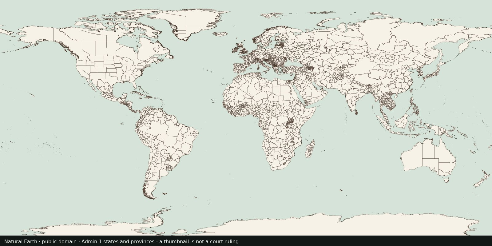
First-order internal divisions (states, provinces, oblasts…): administrative lines inside countries, not another sovereign-border atlas and not EEZ.
Read the card →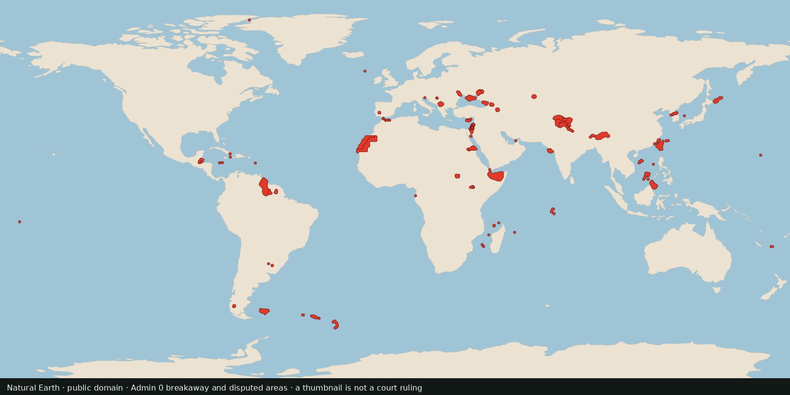
Polygons Natural Earth flags as breakaway or disputed, a cartographer’s working set for contested land, not a court ruling and not a second world-countries layer.
Read the card →Source: Natural Earth 10m Admin 0: Breakaway, disputed areas
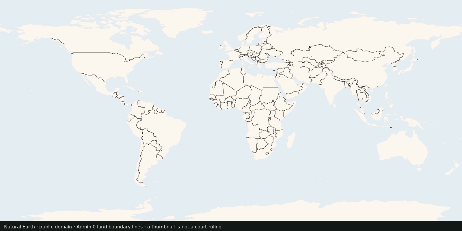
International land borders as line geometries, the edge between polygons, not a filled countries map and not maritime EEZ limits.
Read the card →