

Political
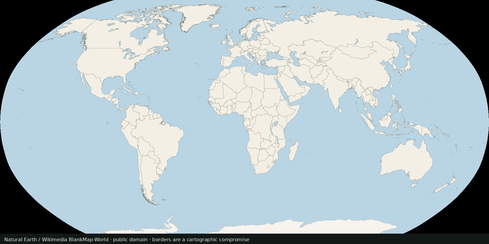
World countries and borders
A public-domain political base: who administers which polygon, with the usual disputed-border caveats.
Read the card →International land borders as line geometries, the edge between polygons, not a filled countries map and not maritime EEZ limits.
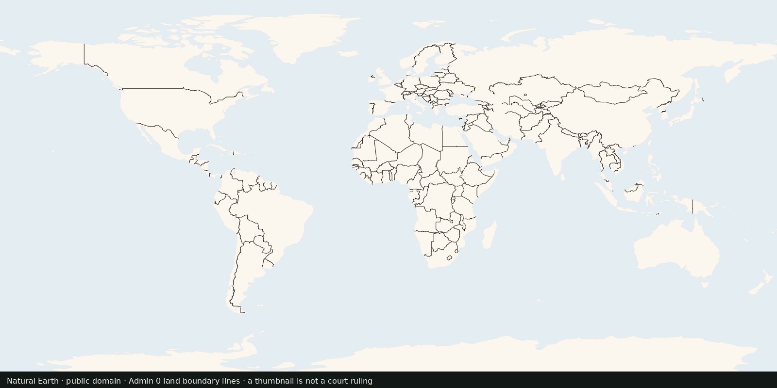
Natural Earth’s Admin 0: Boundary lines cultural vectors: the linear representation of international land boundaries used with the admin-0 polygons. Public domain.
Country polygons show fills; this card shows the lines the hub lede names. Distinct from EEZ (maritime) and from disputed polygons (special areas). Useful when a design needs borders without a full choropleth.
Same caveats as World countries: some segments are disputed; Natural Earth documents coding choices. A boundary line on a small-scale map is still a political choice. Do not treat it as a UN surveyor’s cadastral edge.
Some land-boundary segments are disputed; Natural Earth documents those coding choices. A line on a small-scale map is still a political choice, not a UN surveyor’s cadastral edge.
Natural Earth is public domain. The thumbnail is the Admin 0 land boundary-lines layer. A thumbnail is cartography, not a court ruling.
Open source map → A public-domain political base: who administers which polygon, with the usual disputed-border caveats.
Read the card →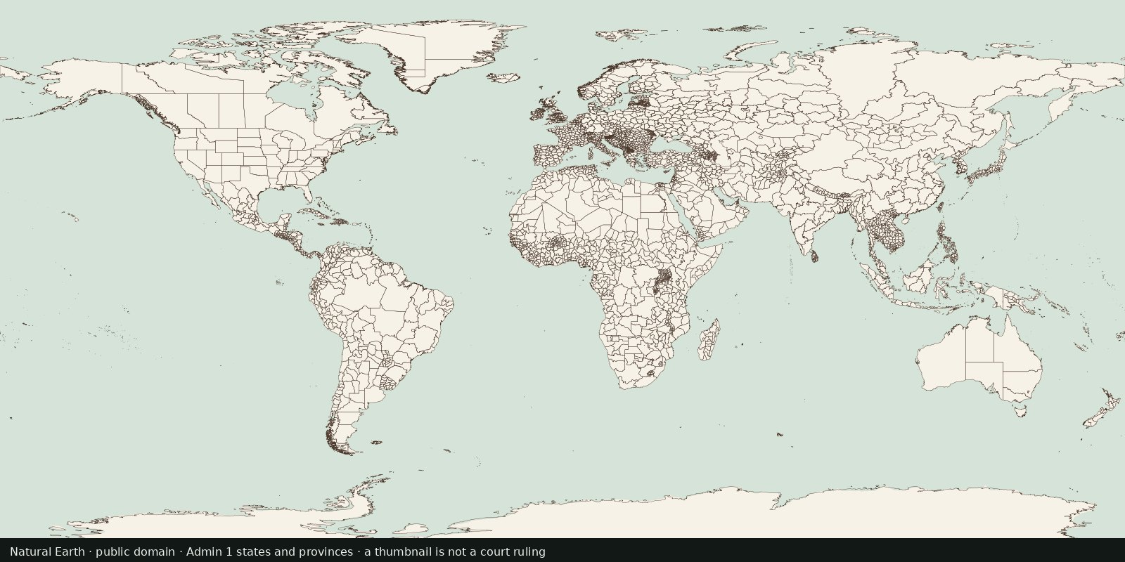
First-order internal divisions (states, provinces, oblasts…): administrative lines inside countries, not another sovereign-border atlas and not EEZ.
Read the card →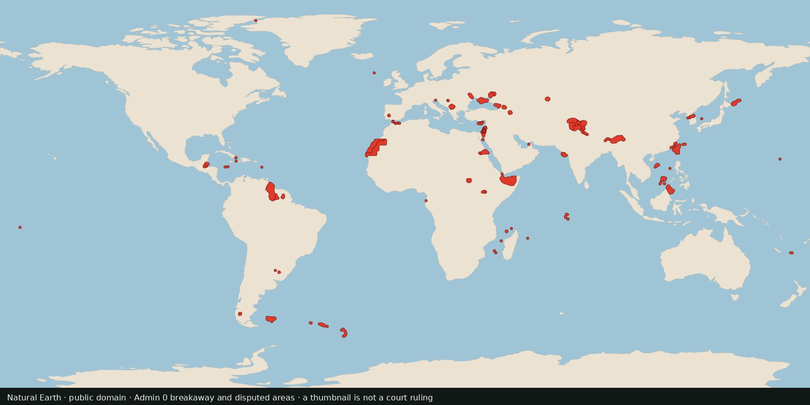
Polygons Natural Earth flags as breakaway or disputed, a cartographer’s working set for contested land, not a court ruling and not a second world-countries layer.
Read the card →Source: Natural Earth 10m Admin 0: Breakaway, disputed areas
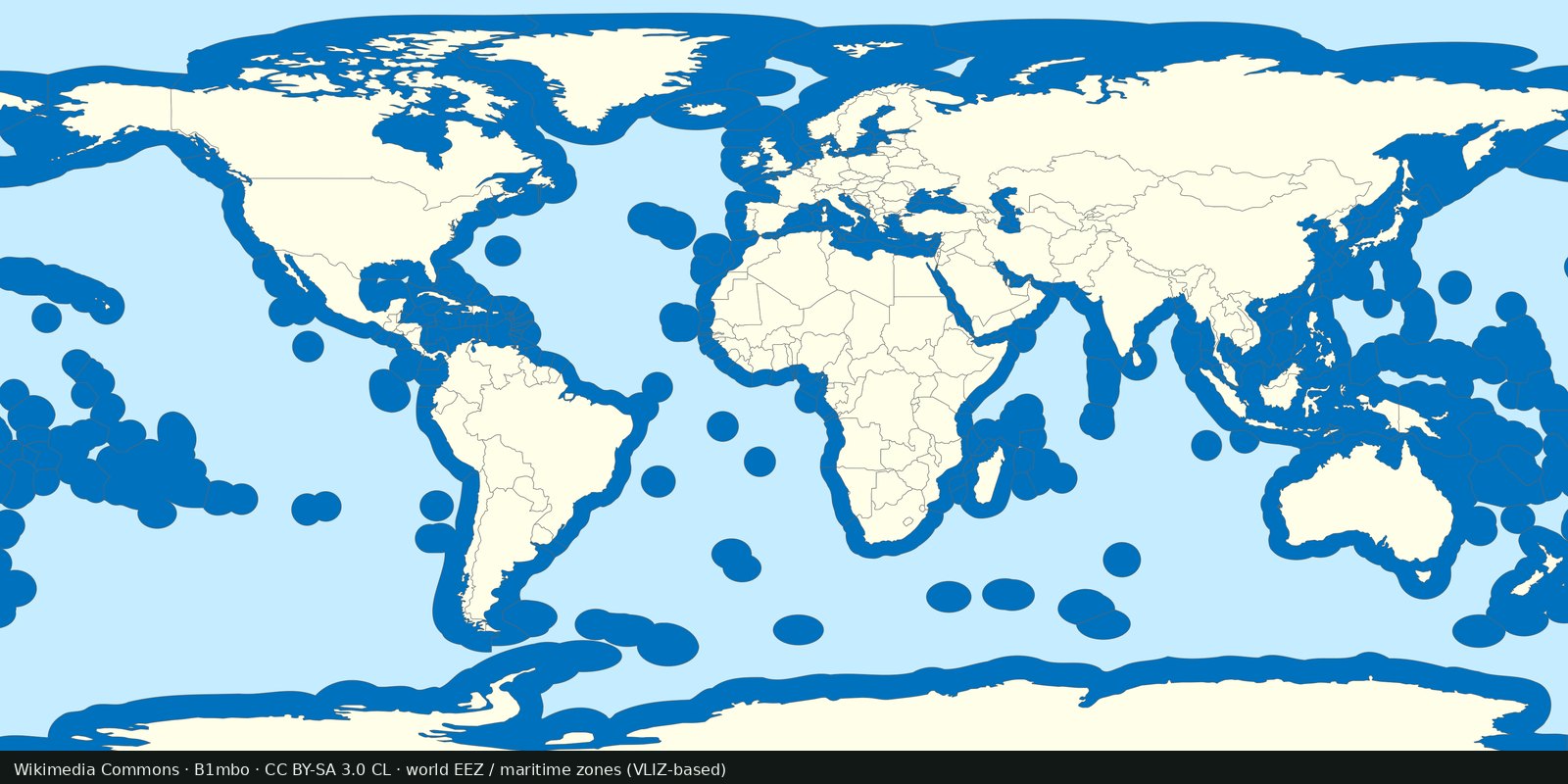
Maritime EEZ polygons: who claims which ocean band. Complements land borders; not a second countries layer.
Read the card →