

Political
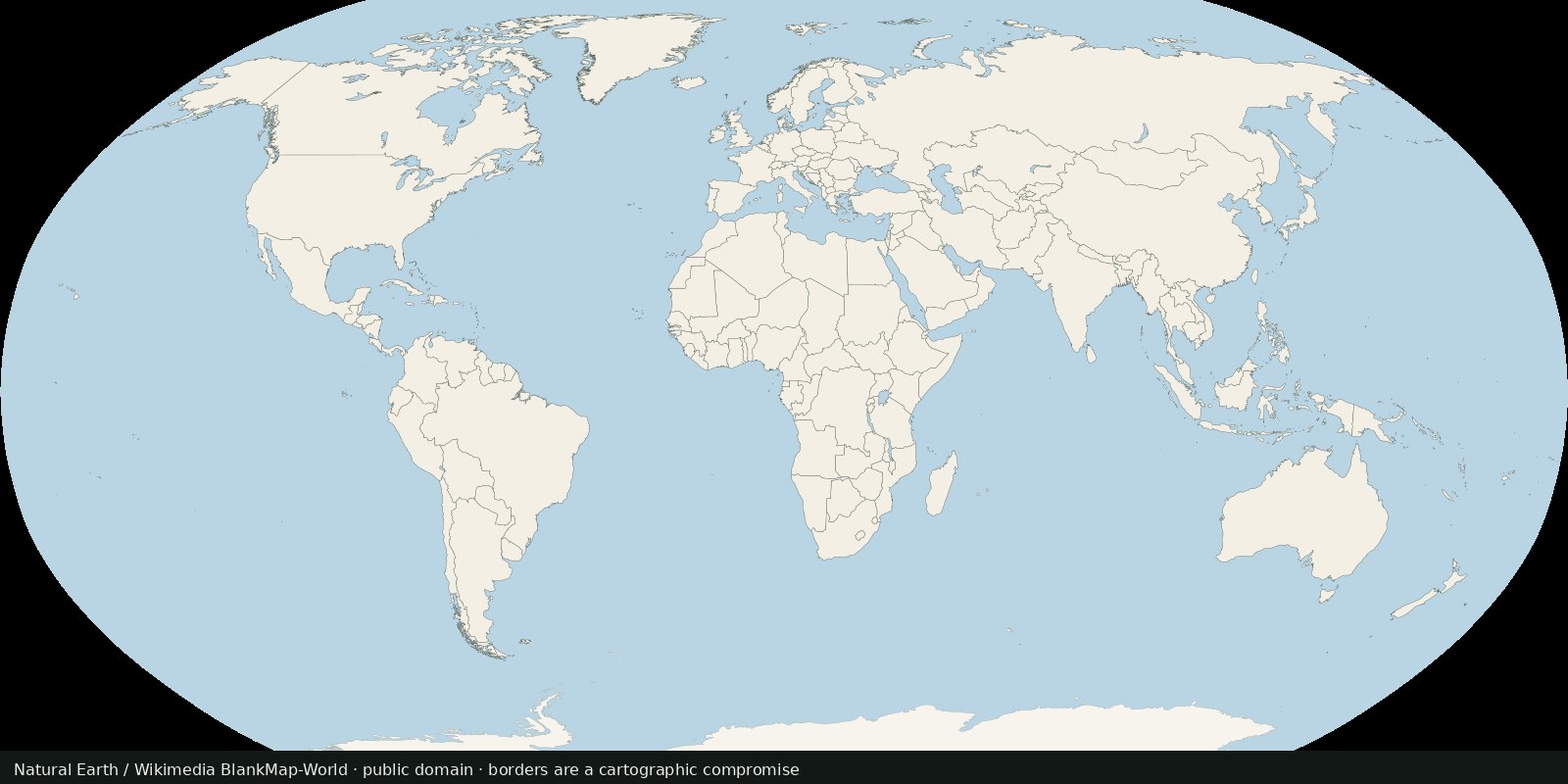
World countries and borders
A public-domain political base: who administers which polygon, with the usual disputed-border caveats.
Read the card →Polygons Natural Earth flags as breakaway or disputed, a cartographer’s working set for contested land, not a court ruling and not a second world-countries layer.
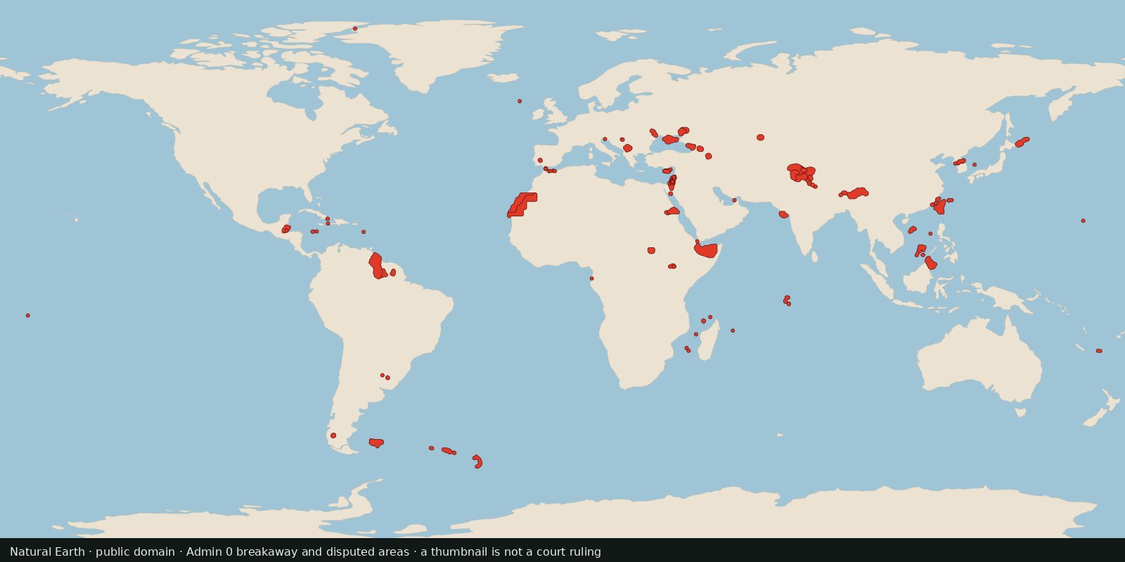
Natural Earth’s Admin 0: Breakaway, disputed areas layer (10m cultural vectors) marks polygons the dataset treats as breakaway regions or disputed territories. Same public-domain family as the live World countries card; different object: contested / special-status polygons, not the standard sovereign admin-0 fill.
The Political hub already promises “disputed areas.” EEZ covers maritime claims; this card covers land polygons that are contested or breakaway in the Natural Earth coding, without pretending the shapefile settles sovereignty.
Treat each polygon as “this dataset drew a special case here,” not as recognition of a state. For a legal claim, read a treaty or a court, not a 1:10m vector. Do not merge this into World countries as a second fill of the same admin-0 story.
Natural Earth codes these polygons as breakaway or disputed so a world map can be drawn. That coding is a cartographic choice, not recognition of a state and not a court ruling. Do not merge this layer into World countries as a second admin-0 fill.
Natural Earth is public domain. The thumbnail recolors the Admin 0: Breakaway, disputed areas polygons only. A thumbnail is cartography, not a court ruling.
Open source map → A public-domain political base: who administers which polygon, with the usual disputed-border caveats.
Read the card →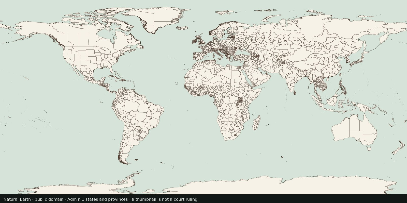
First-order internal divisions (states, provinces, oblasts…): administrative lines inside countries, not another sovereign-border atlas and not EEZ.
Read the card →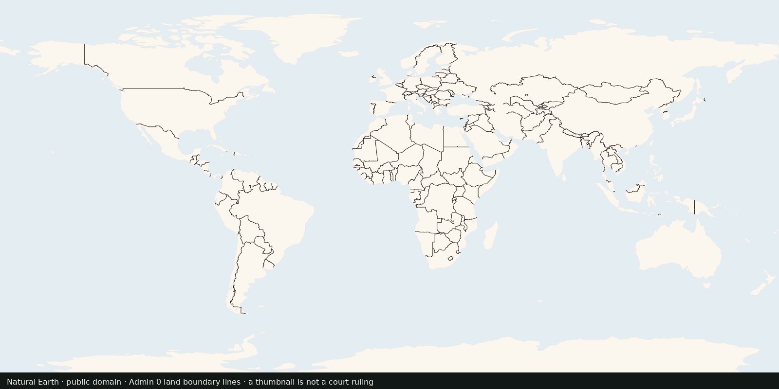
International land borders as line geometries, the edge between polygons, not a filled countries map and not maritime EEZ limits.
Read the card →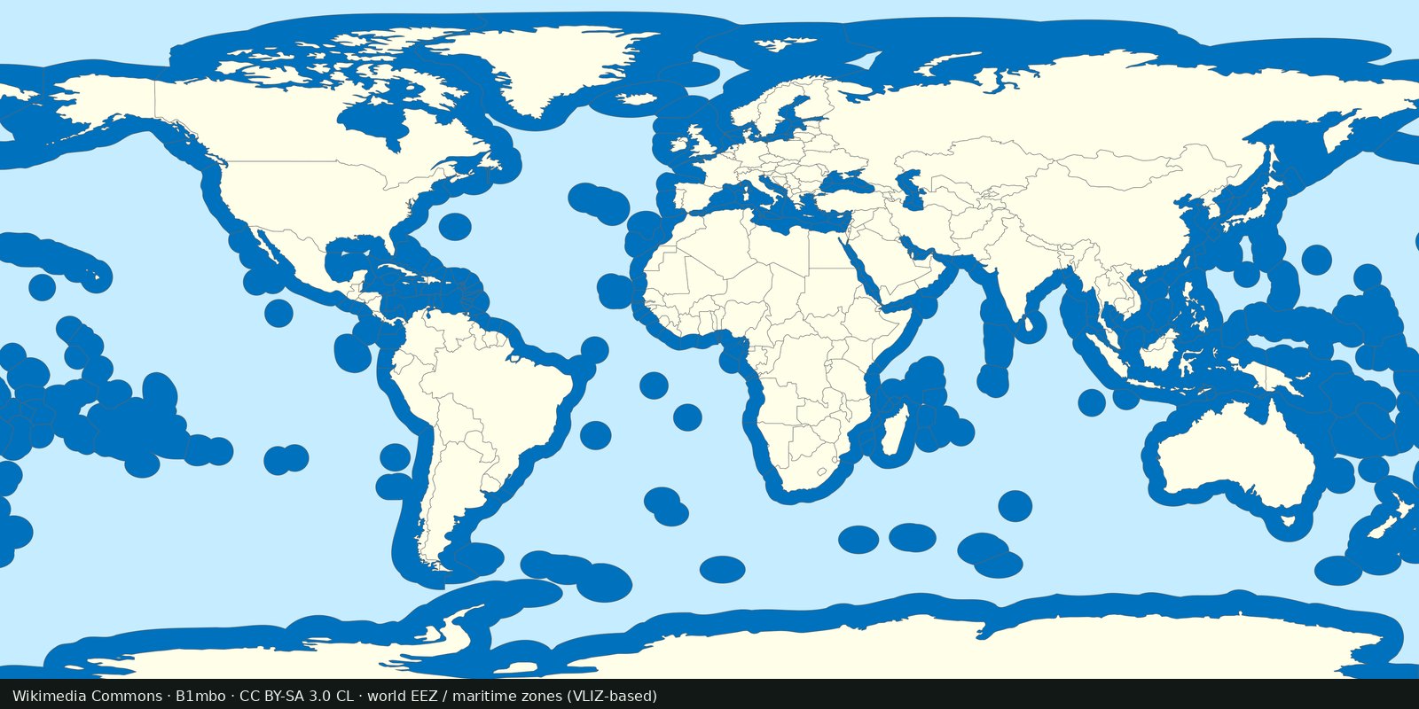
Maritime EEZ polygons: who claims which ocean band. Complements land borders; not a second countries layer.
Read the card →