

Conflicts
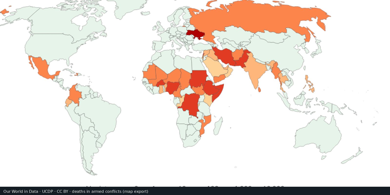
Battle-related deaths
UCDP counts of people killed in organized armed conflict, compiled for comparison over time.
Read the card →Where armed conflict and protest events were recorded, not a verdict on who is right.
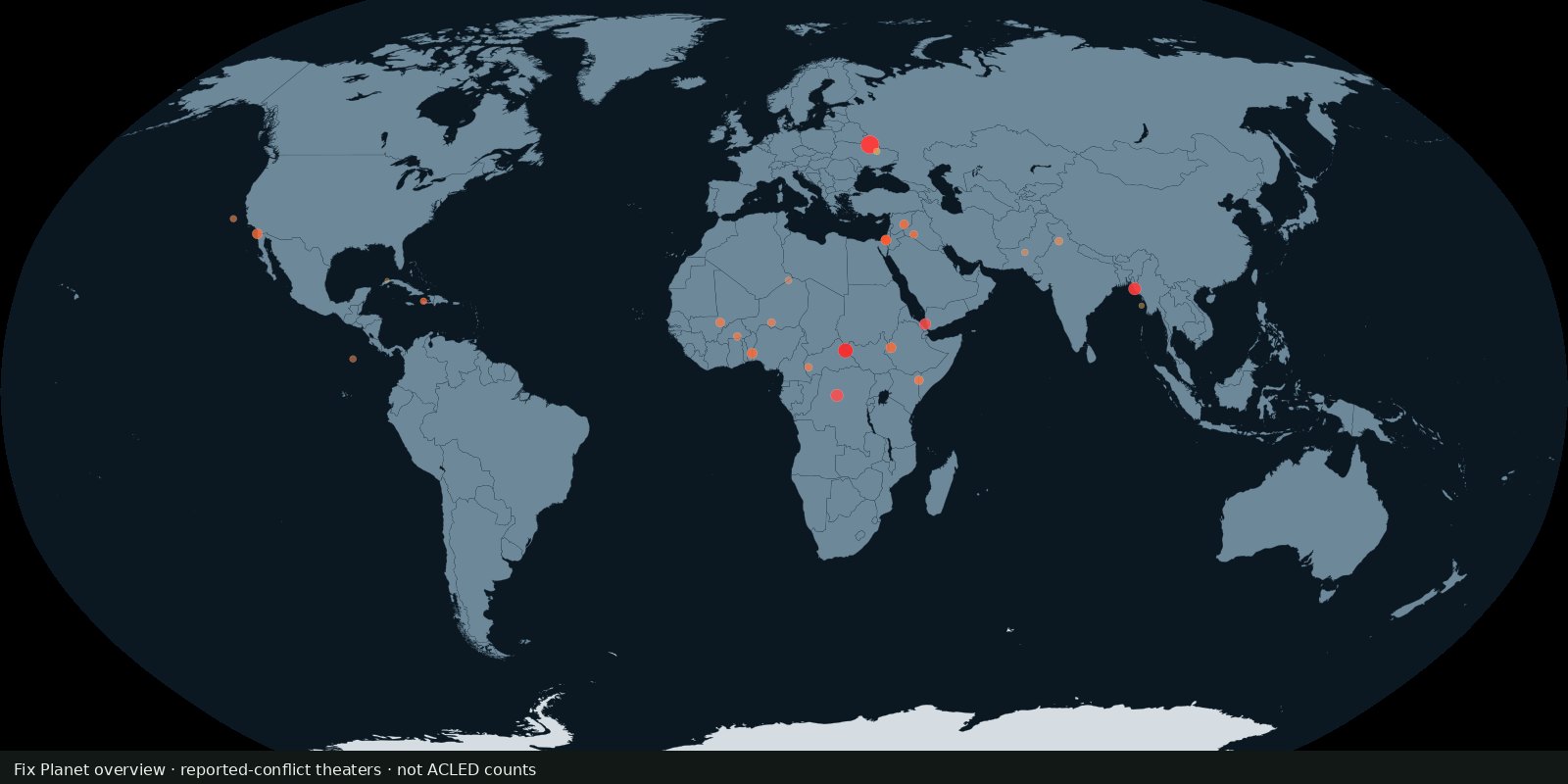
ACLED compiles geolocated reports of battles, explosions, violence against civilians, riots, and protests. The public dashboard and Conflict Watchlist show recent patterns. This card is a doorway to that living dataset, not a copy of every point.
Armed Conflict Location & Event Data Project (ACLED)
Vintage: 2024-2025
https://acleddata.com/
ACLED data may be used with attribution under their terms. The live event database is on their dashboard. The preview is a Fix Planet overview of well-known reporting theatres, not ACLED counts or their artwork.
Read it as a map of reported events. Dense clusters mean more recorded incidents, not automatically “the worst country” or a moral ranking. Time sliders matter: last month is not the last decade.
Coverage depends on local reporting, language, and access. Some wars are under-counted; some protests are over-visible. ACLED does not decide which side is legitimate. Do not treat a pin as a census of every death.
Open source map → UCDP counts of people killed in organized armed conflict, compiled for comparison over time.
Read the card →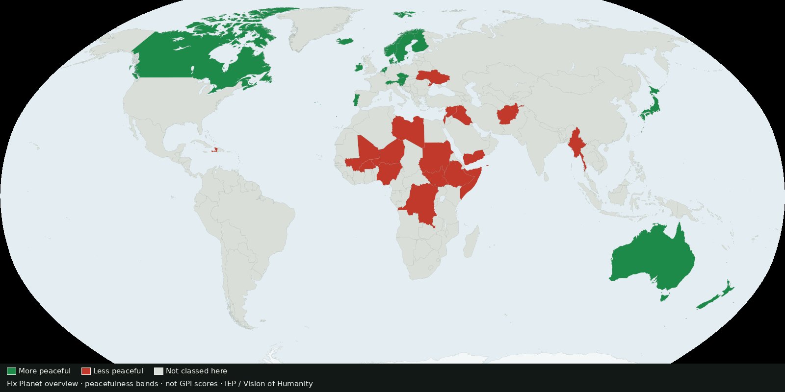 Fix Planet overview
Country ranking of peacefulness from the Institute for Economics & Peace: a composite score, not ACLED event pins and not a verdict on who is right.
Read the card →Source: Institute for Economics & Peace / Vision of Humanity: Global Peace Index
 Fix Planet overview
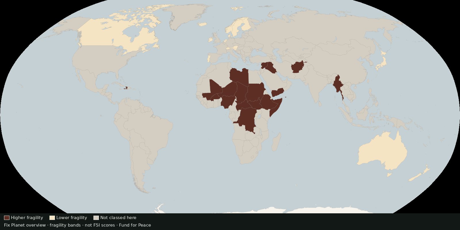
Country scores of state fragility across pressure and cohesion indicators, fragility risk, not battle deaths and not a peace ranking.
Read the card →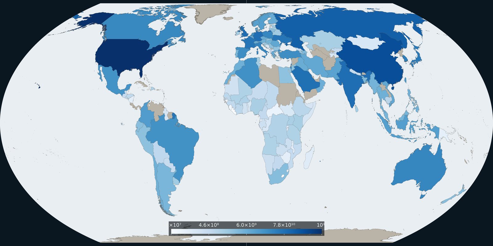
Comparable country series of military spending from SIPRI, budgets and burden, not event pins and not a catalog of weapon systems.
Read the card →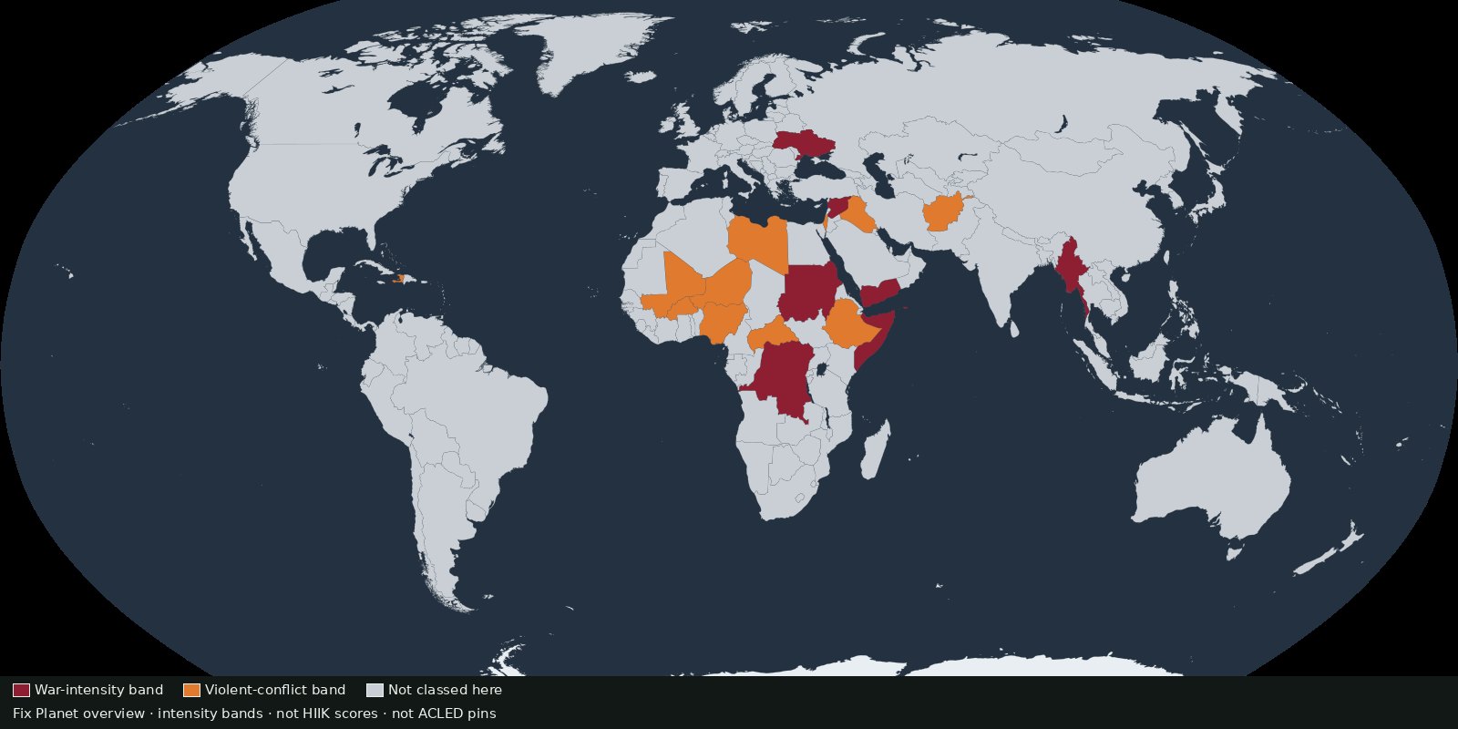 Fix Planet overview
Annual conflict intensity by country and region from Heidelberg’s Conflict Barometer, intensity classes, not event pins and not battle-death totals.
Read the card →