

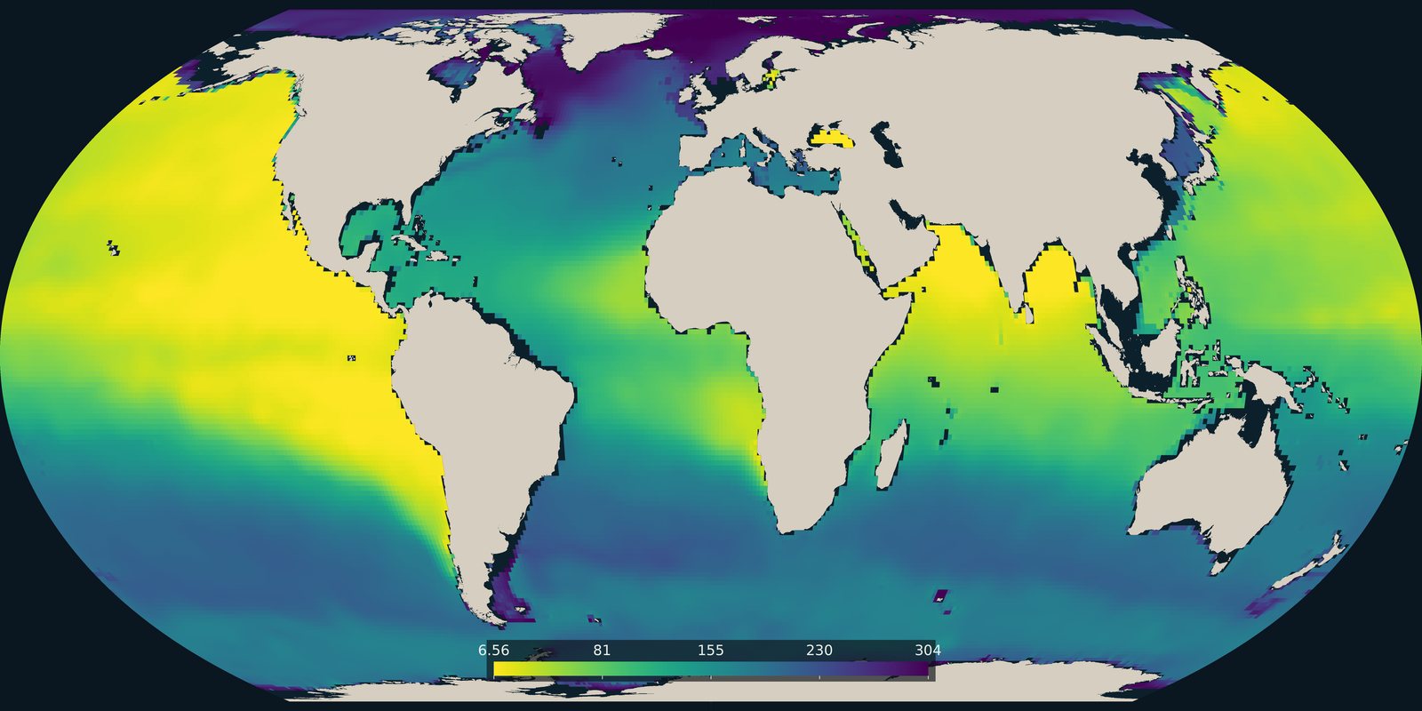
Dissolved oxygen
The lowest dissolved oxygen between 100 and 1000 metres in the World Ocean Atlas 2023 climatology. Open-ocean oxygen, not the coastal dead-zone pins on Pollution.
Read the card →How much surface-ocean pH changed from the late 1980s to the early 2020s. A carbonate-chemistry trend, not temperature and not a pollution map.
OceanSODA-ETHZ · surface pH change · 1985-1989 to 2020-2024
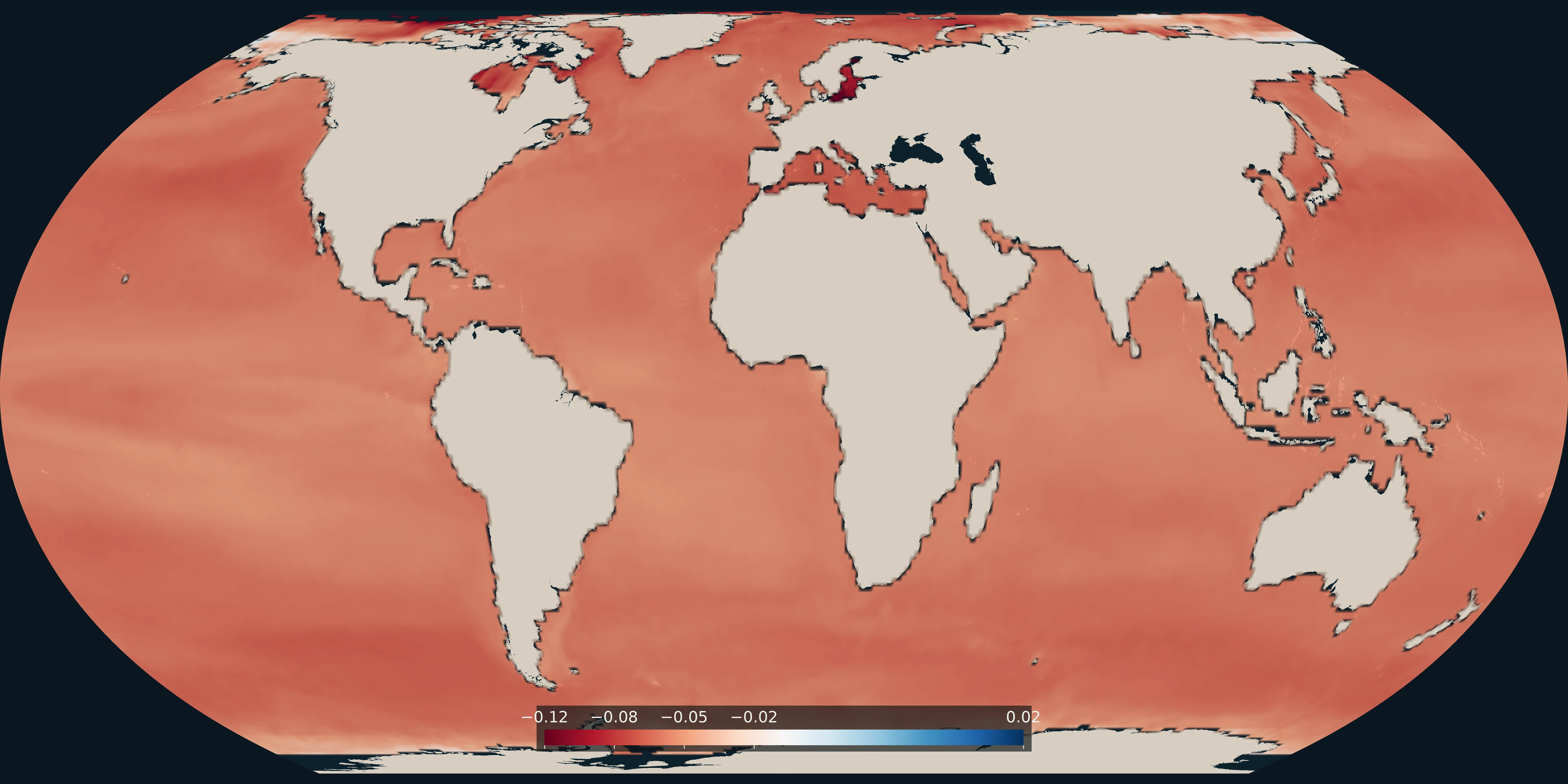
The map is the change in OceanSODA-ETHZ v2025 surface pH on the total scale, from the 1985-1989 mean to the 2020-2024 mean, published through NOAA NCEI OCADS. A negative number is acidification. The longer figure used on this site, about 0.1 pH units of open-ocean decline since about 1750, still comes from IPCC AR6 and the NOAA PMEL Carbon Program. The NOAA Ocean Acidification Program describes the observing network behind that longer record.
Currents, salinity, surface temperature, and pollution answer other questions. This card is the recent change in surface pH. It is not a sea-surface temperature map and not a map of plastic, oil, or coastal hypoxia.
The colour is the change in pH, not the pH itself. The open ocean is still alkaline; the shift matters for calcifying organisms and for carbonate minerals. Coastal water can add local nutrient and upwelling signals on top of the global uptake of carbon dioxide. NOAA’s Ocean Acidification Program and the PMEL Carbon Program explain the observations behind the long-term figure.
The lowest dissolved oxygen between 100 and 1000 metres in the World Ocean Atlas 2023 climatology. Open-ocean oxygen, not the coastal dead-zone pins on Pollution.
Read the card →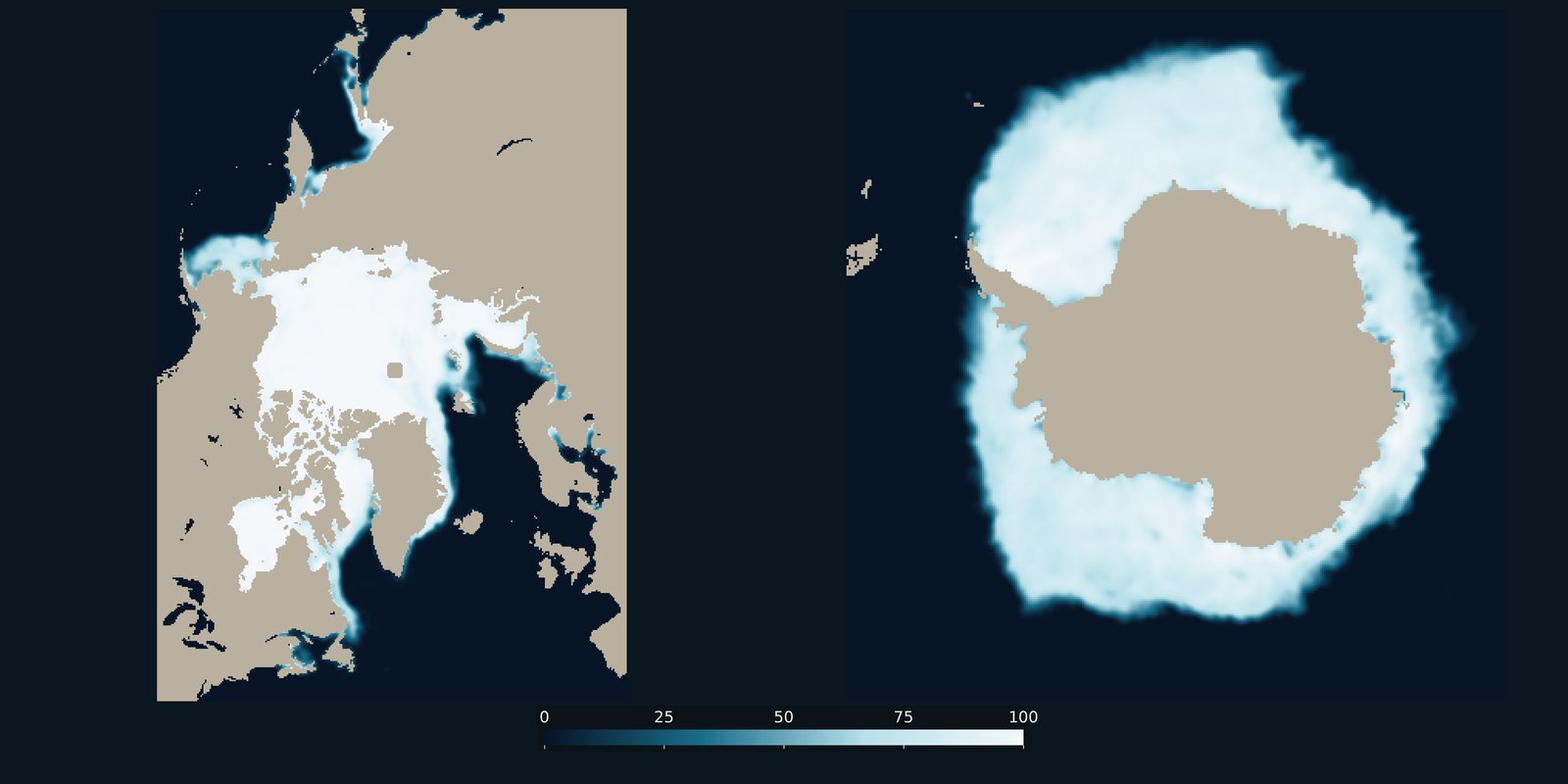
Sea-ice concentration for a recent Arctic March and Antarctic September, side by side. Frozen ocean cover, not surface temperature and not land ice.
Read the card →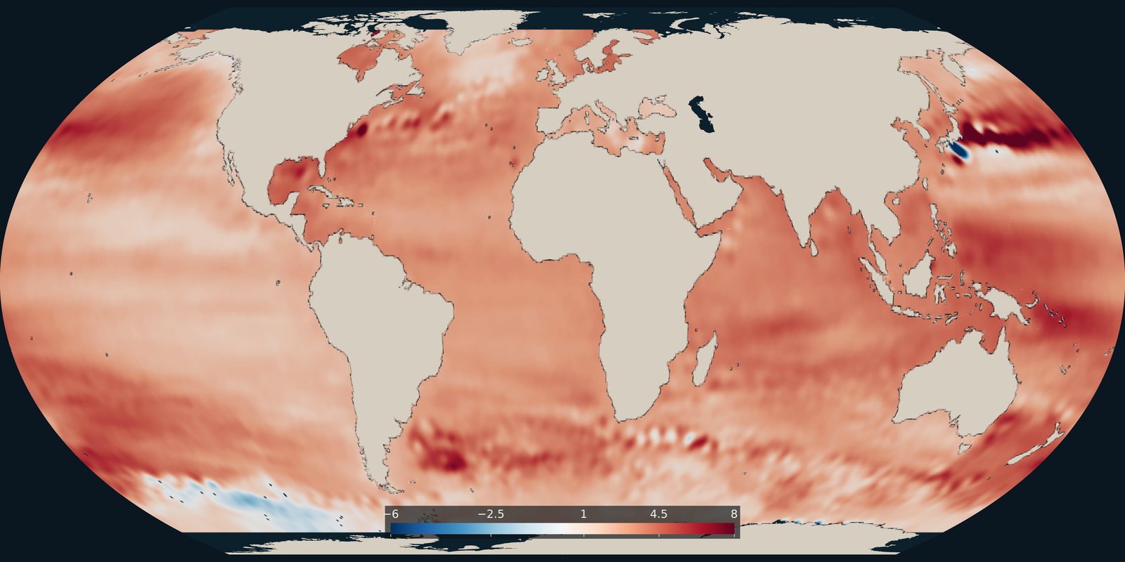
Where the ocean surface is rising faster or more slowly, in millimetres per year. The global average cited on this site comes from the NASA Sea Level Change Portal.
Read the card →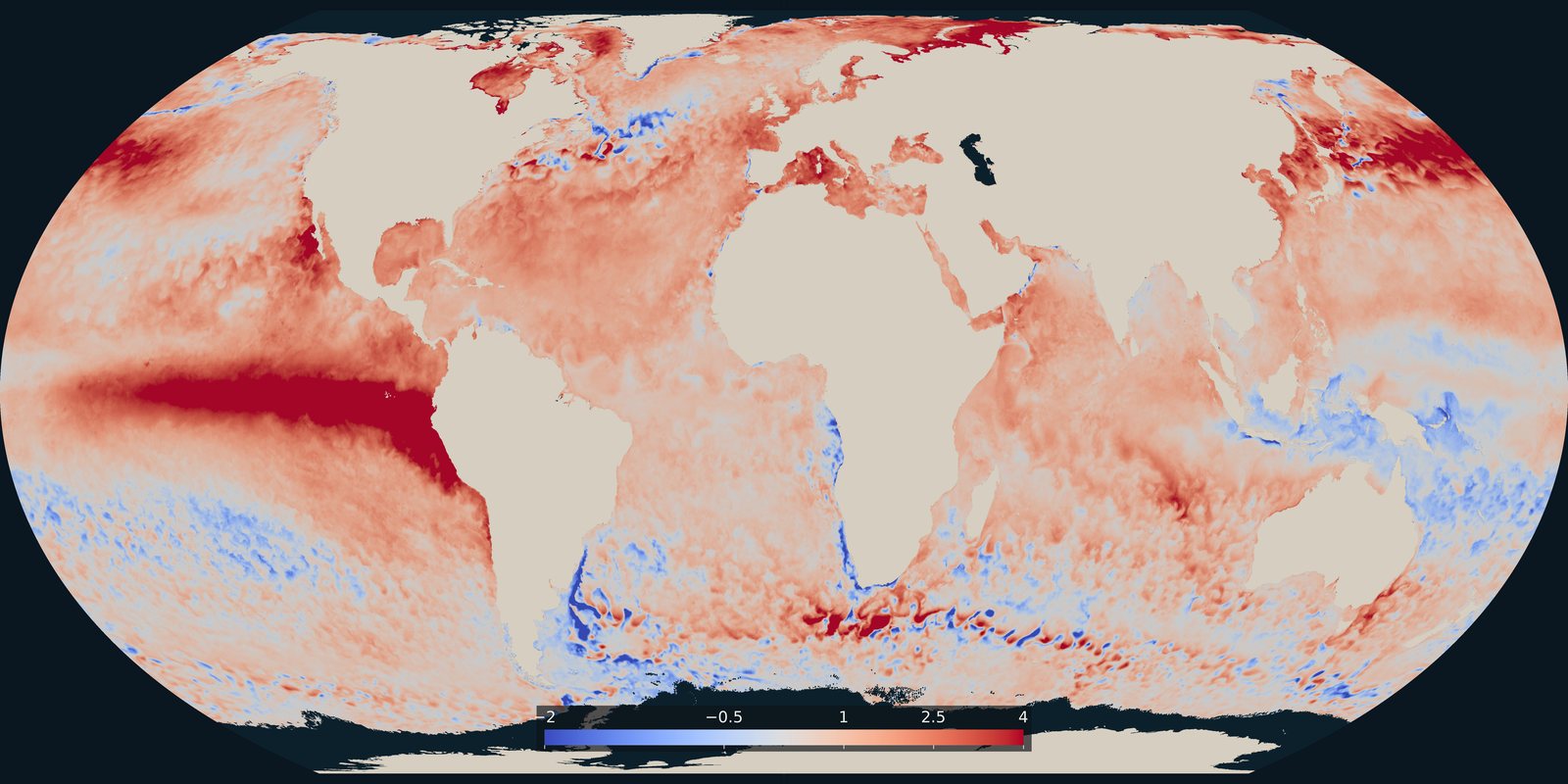
Where the sea surface was warmer or cooler than usual on 25 September 2026. A temperature anomaly from NOAA Coral Reef Watch, not a classified heatwave category.
Read the card →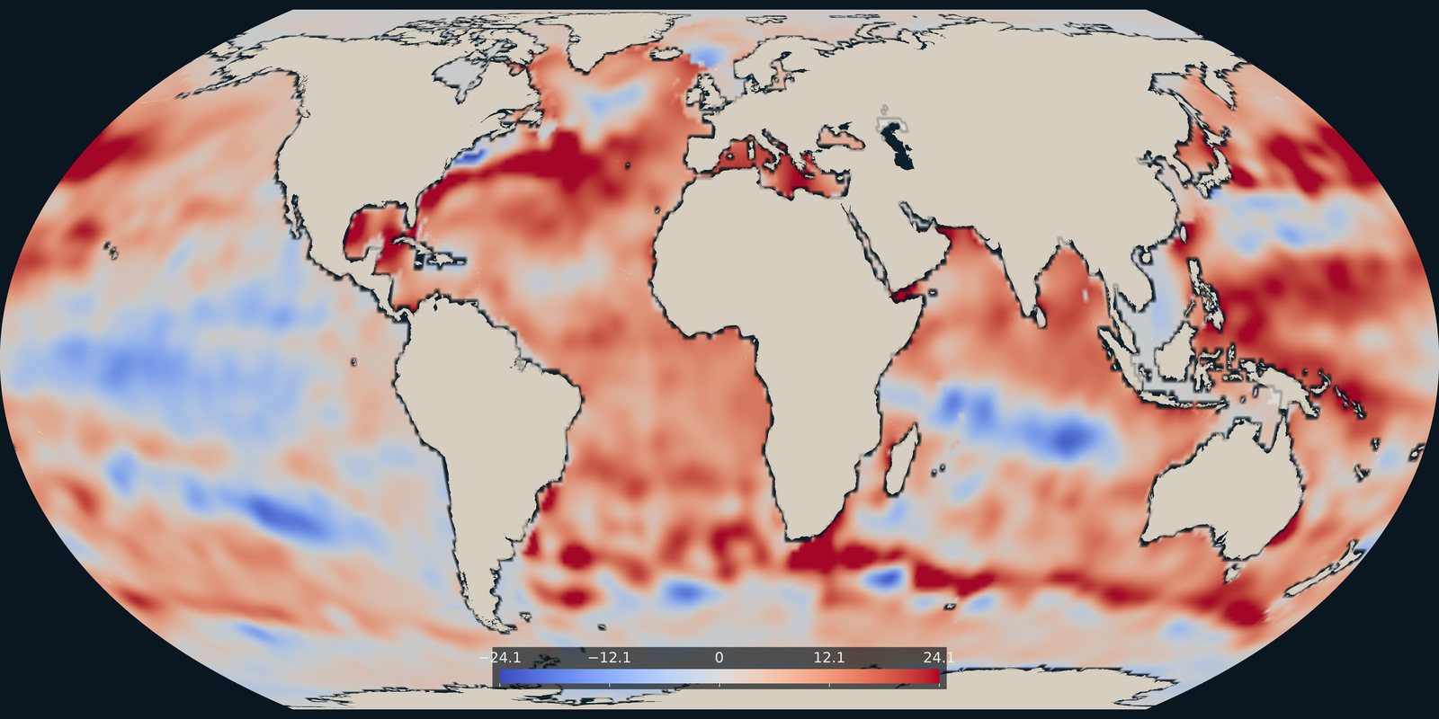
Heat stored in the upper 700 metres in 2025, as an anomaly in each 1° cell, from NOAA NCEI.
Read the card →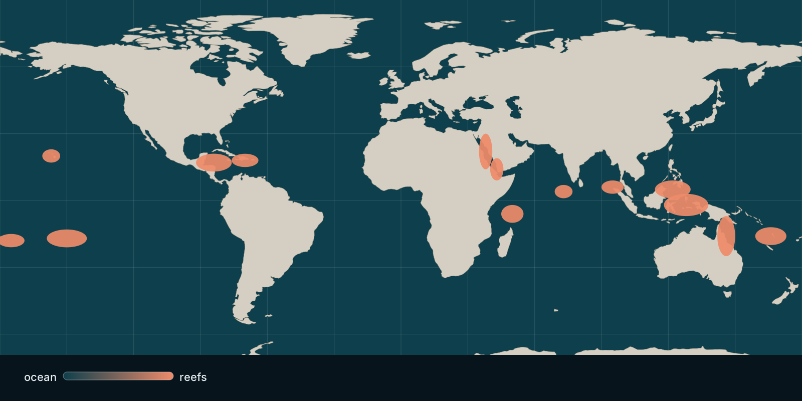 Fix Planet overview
Where hard coral cover stands today and how heat stress bleaches reefs, based on global monitoring and satellite observations.
Read the card →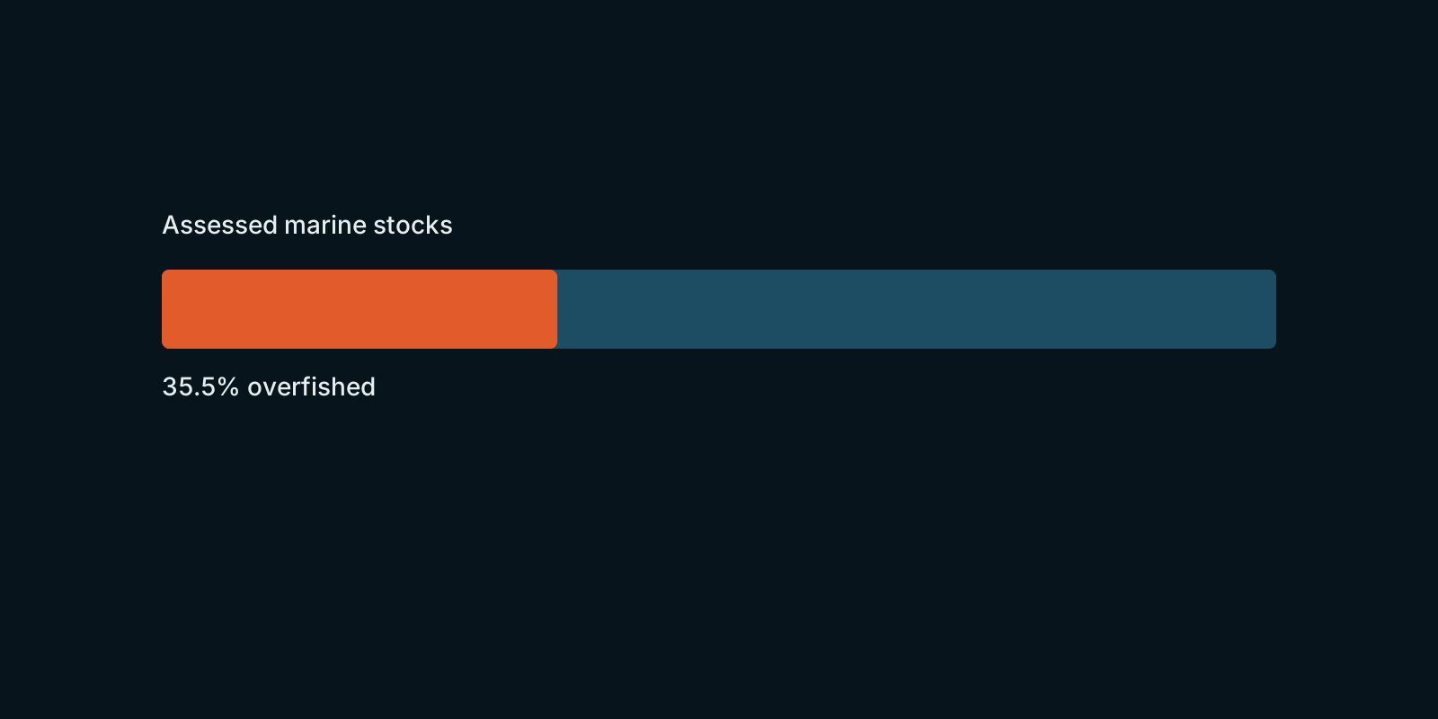 Fix Planet overview
How assessed marine fish stocks are doing worldwide, according to FAO’s global stock-status figures.
Read the card →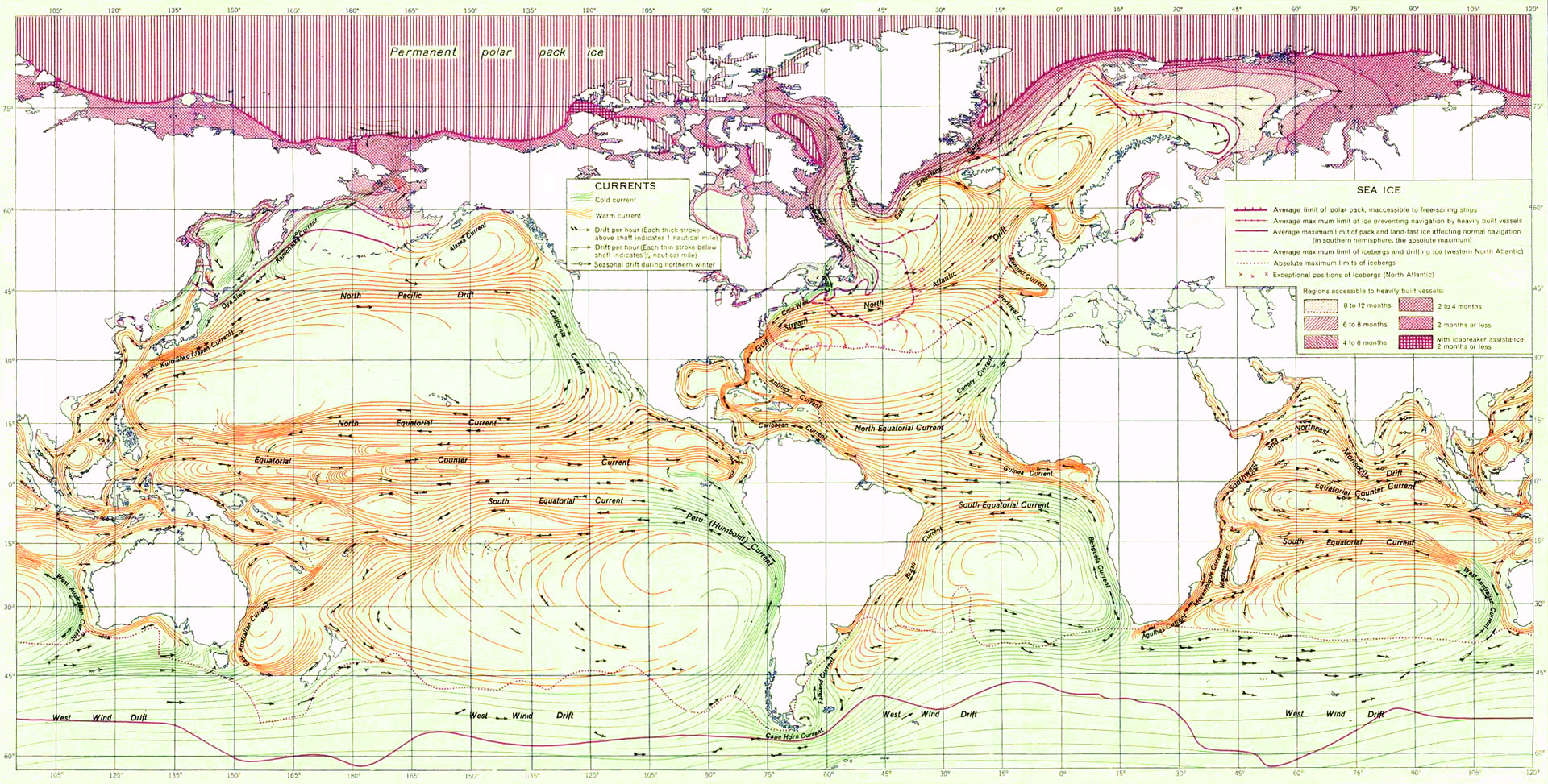
Surface currents and the great gyres that steer heat, salt, and life.
Read the card →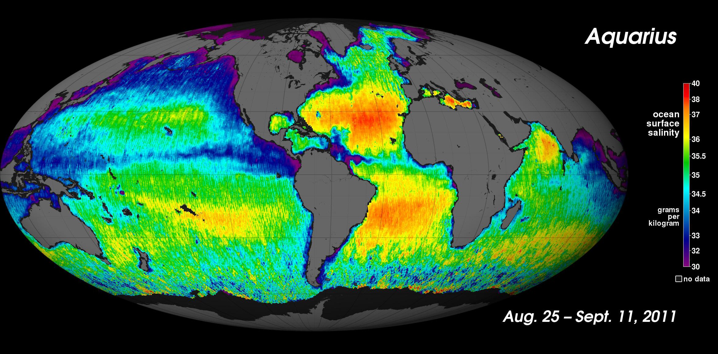
How salty the sea is, and why that density helps drive the overturning circulation.
Read the card →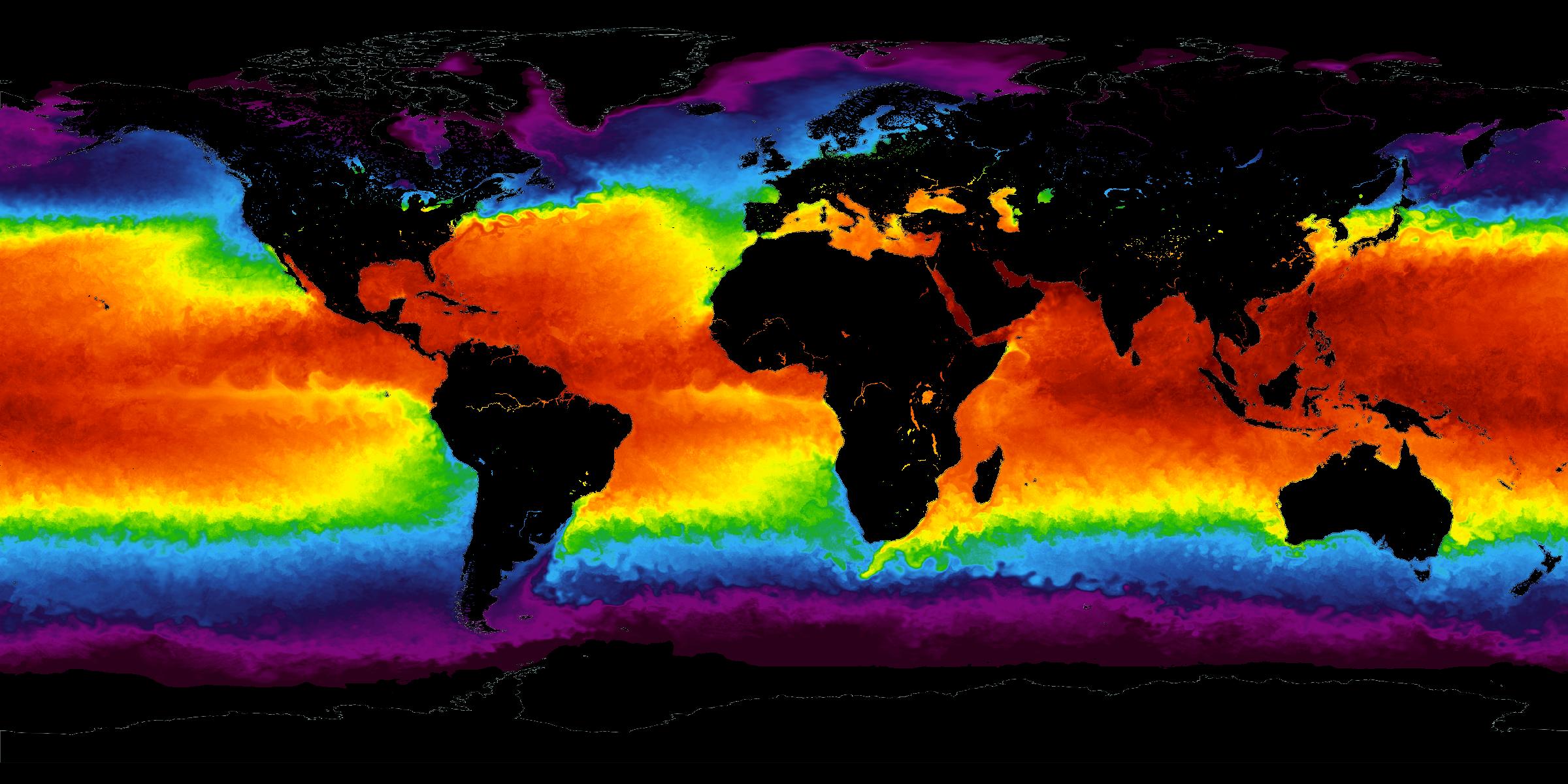
The temperature of the sea surface: the standing climate, and years that run warmer or cooler.
Read the card →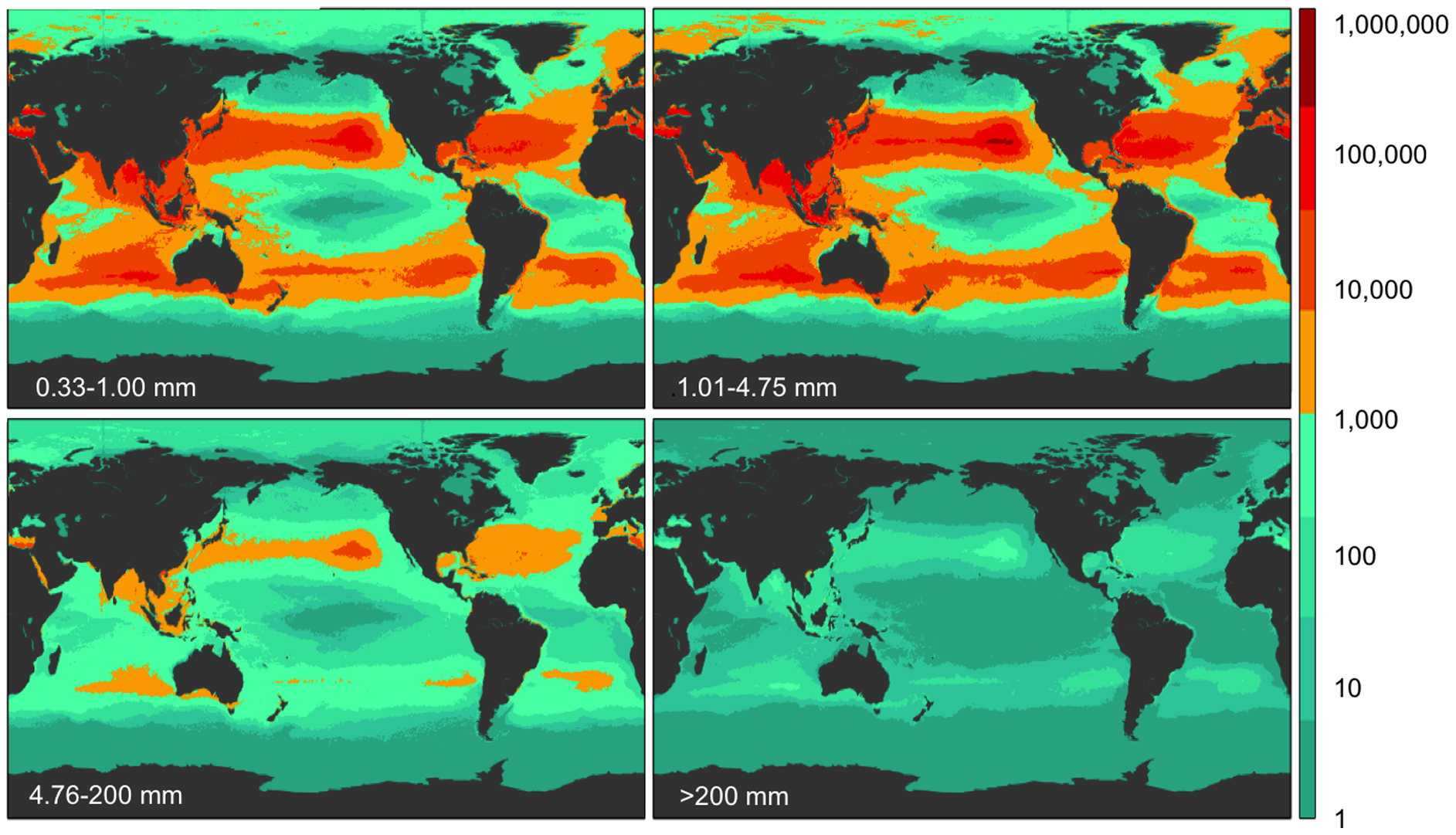
Five subtropical garbage patches, oil, phytoplankton blooms, and coastal dead zones.
Read the card →Heat, acidity, plastic, and hypoxia, each from a named paper.
Read the card →