

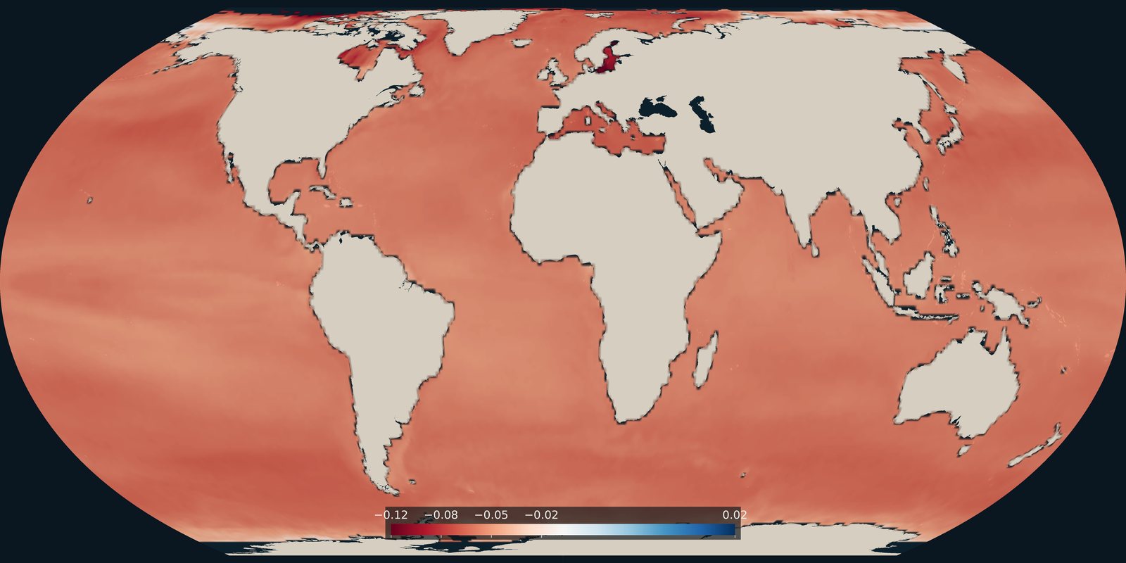
Ocean acidification
How much surface-ocean pH changed from the late 1980s to the early 2020s. A carbonate-chemistry trend, not temperature and not a pollution map.
Read the card →Ocean currents are lasting or recurring flows of water in the World Ocean and adjacent seas. They may be nearly steady, like the great subtropical gyres; periodic, like tidal streams; or irregular, like wind-driven drifts after a storm.
Surface currents are steered by wind, Earth’s rotation (the Coriolis effect), and the shape of the basins. They move heat from the tropics toward the poles, carry salt, nutrients, and larvae, and set the paths of ice and drifting debris.
The map is a 1943 teaching plate of named surface currents and ice limits. Modelled present-day surface flow is in Copernicus Marine and ESR OSCAR.
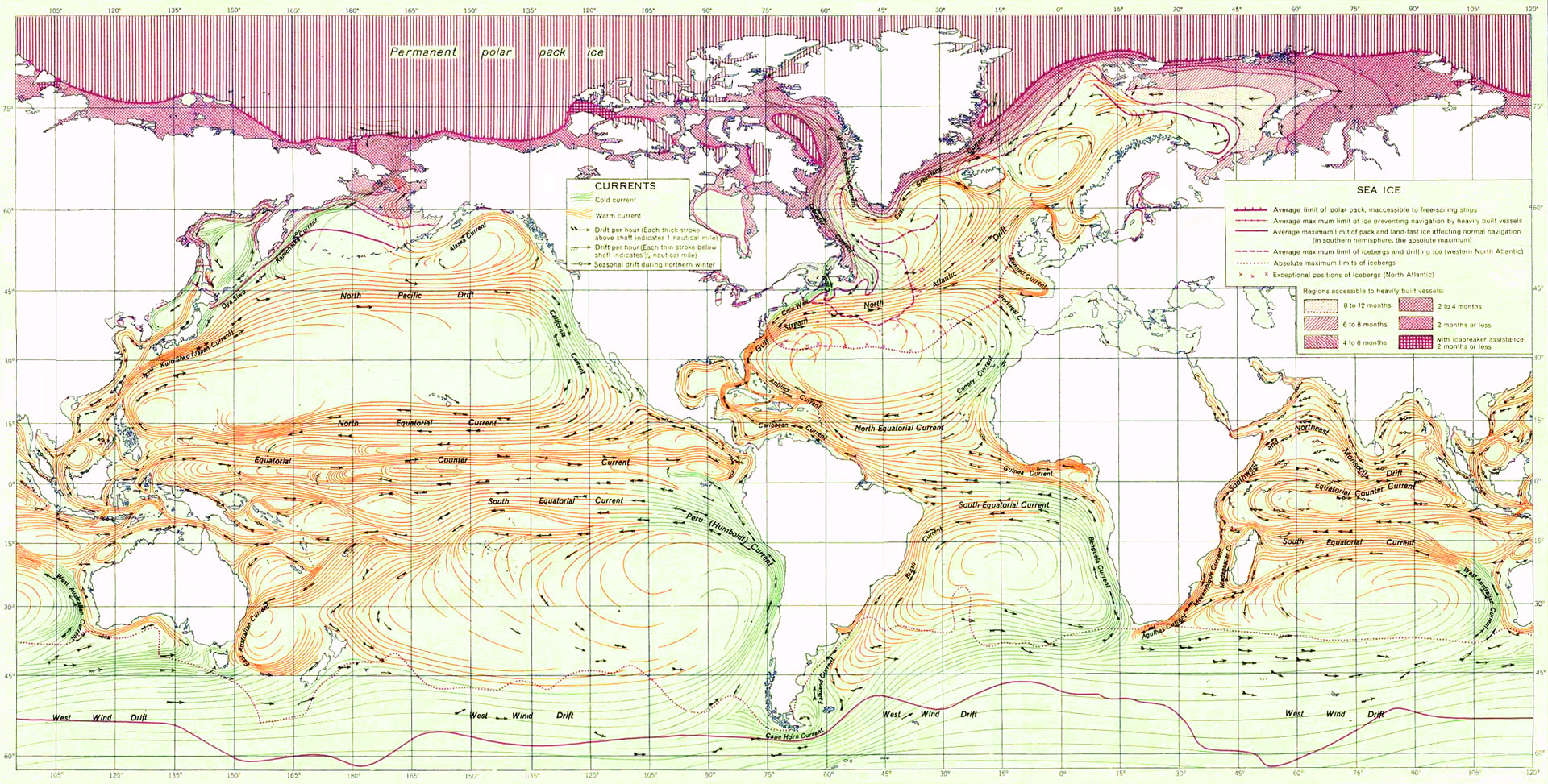
US Army atlas plate, 1943: named surface currents and ice limits. A teaching schematic, not a satellite current field.
Warm surface currents in orange, cold in green; hatched ice at the poles. Gulf Stream, Kuroshio, Humboldt (Peru Current), Agulhas, and other named drifts.
OSCAR (Ocean Surface Current Analyses Real-time) estimates mixed-layer velocity from satellite sea-surface height, vector winds, and SST, using geostrophy, Ekman drift, and thermal wind. Daily fields at 0.25°, from 1993.
United States Army Service Forces, Atlas of World Maps (1943)
Vintage: 1943 schematic
https://commons.wikimedia.org/wiki/File:Ocean_currents_1943_(borderless)3.png
License:
Public domain (US government)
Open Copernicus Marine viewer → Open ESR OSCAR (modelled currents) →
How much surface-ocean pH changed from the late 1980s to the early 2020s. A carbonate-chemistry trend, not temperature and not a pollution map.
Read the card →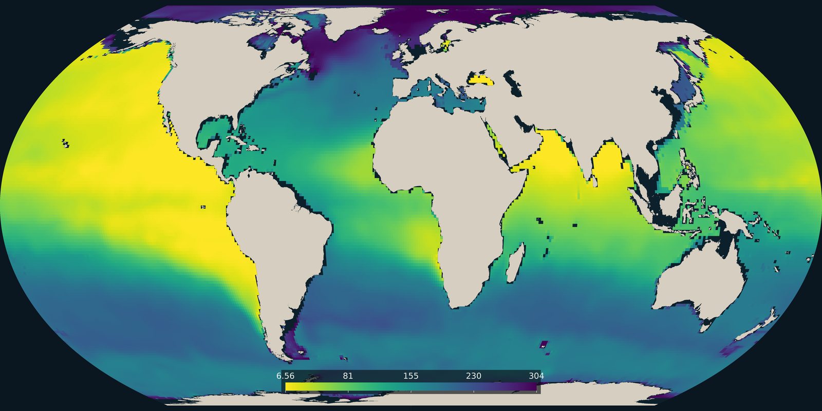
The lowest dissolved oxygen between 100 and 1000 metres in the World Ocean Atlas 2023 climatology. Open-ocean oxygen, not the coastal dead-zone pins on Pollution.
Read the card →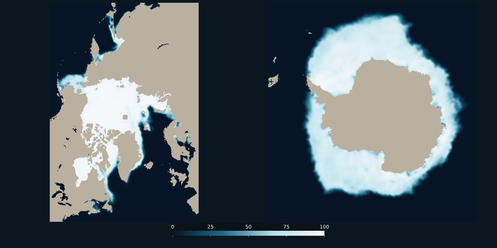
Sea-ice concentration for a recent Arctic March and Antarctic September, side by side. Frozen ocean cover, not surface temperature and not land ice.
Read the card →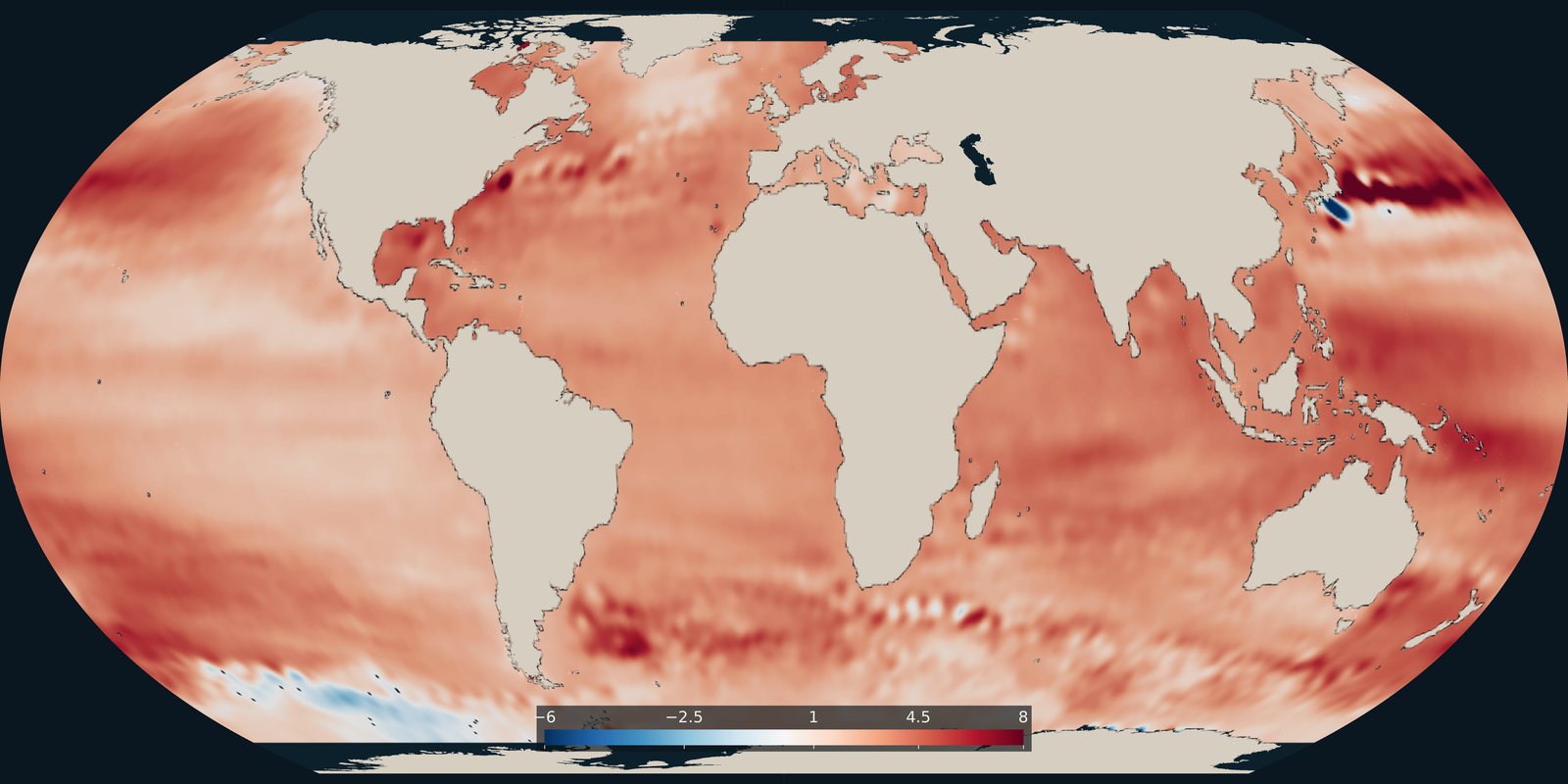
Where the ocean surface is rising faster or more slowly, in millimetres per year. The global average cited on this site comes from the NASA Sea Level Change Portal.
Read the card →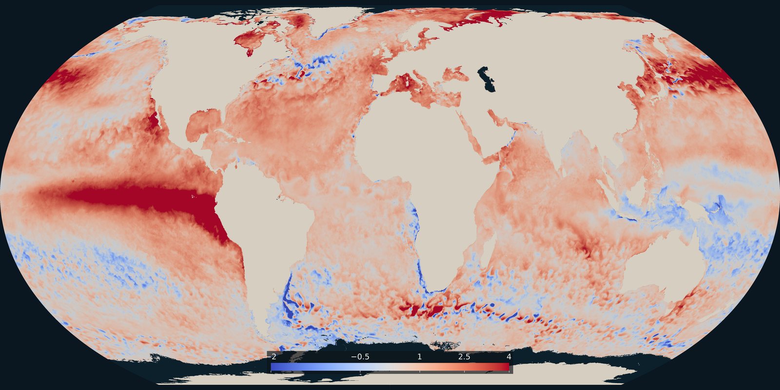
Where the sea surface was warmer or cooler than usual on 25 September 2026. A temperature anomaly from NOAA Coral Reef Watch, not a classified heatwave category.
Read the card →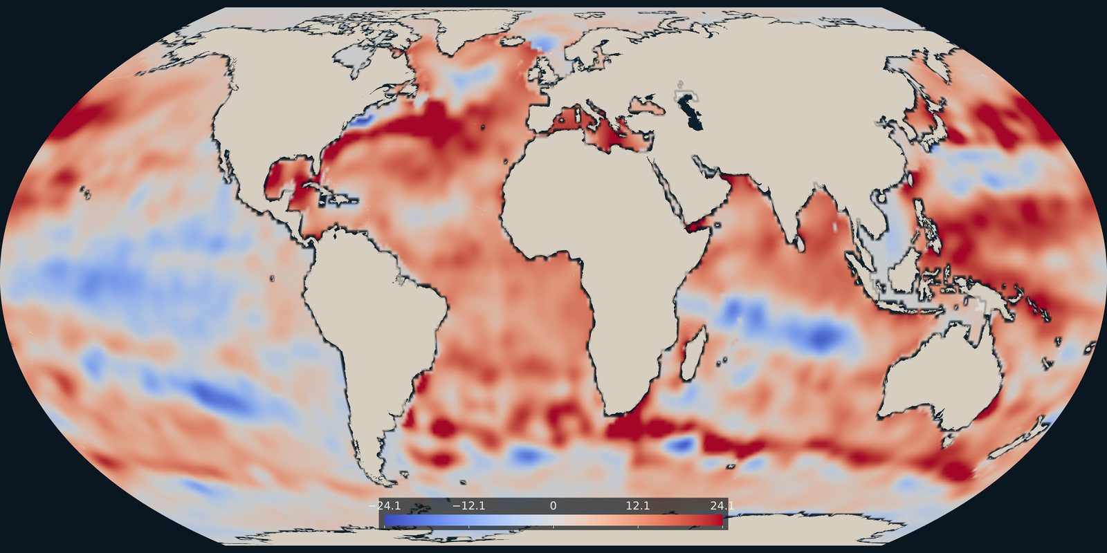
Heat stored in the upper 700 metres in 2025, as an anomaly in each 1° cell, from NOAA NCEI.
Read the card →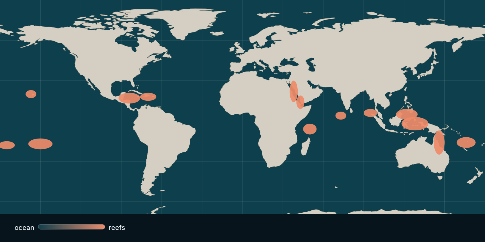 Fix Planet overview
Where hard coral cover stands today and how heat stress bleaches reefs, based on global monitoring and satellite observations.
Read the card →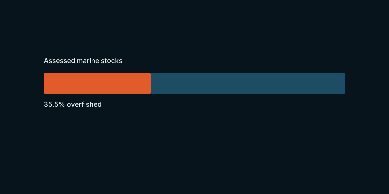 Fix Planet overview
How assessed marine fish stocks are doing worldwide, according to FAO’s global stock-status figures.
Read the card →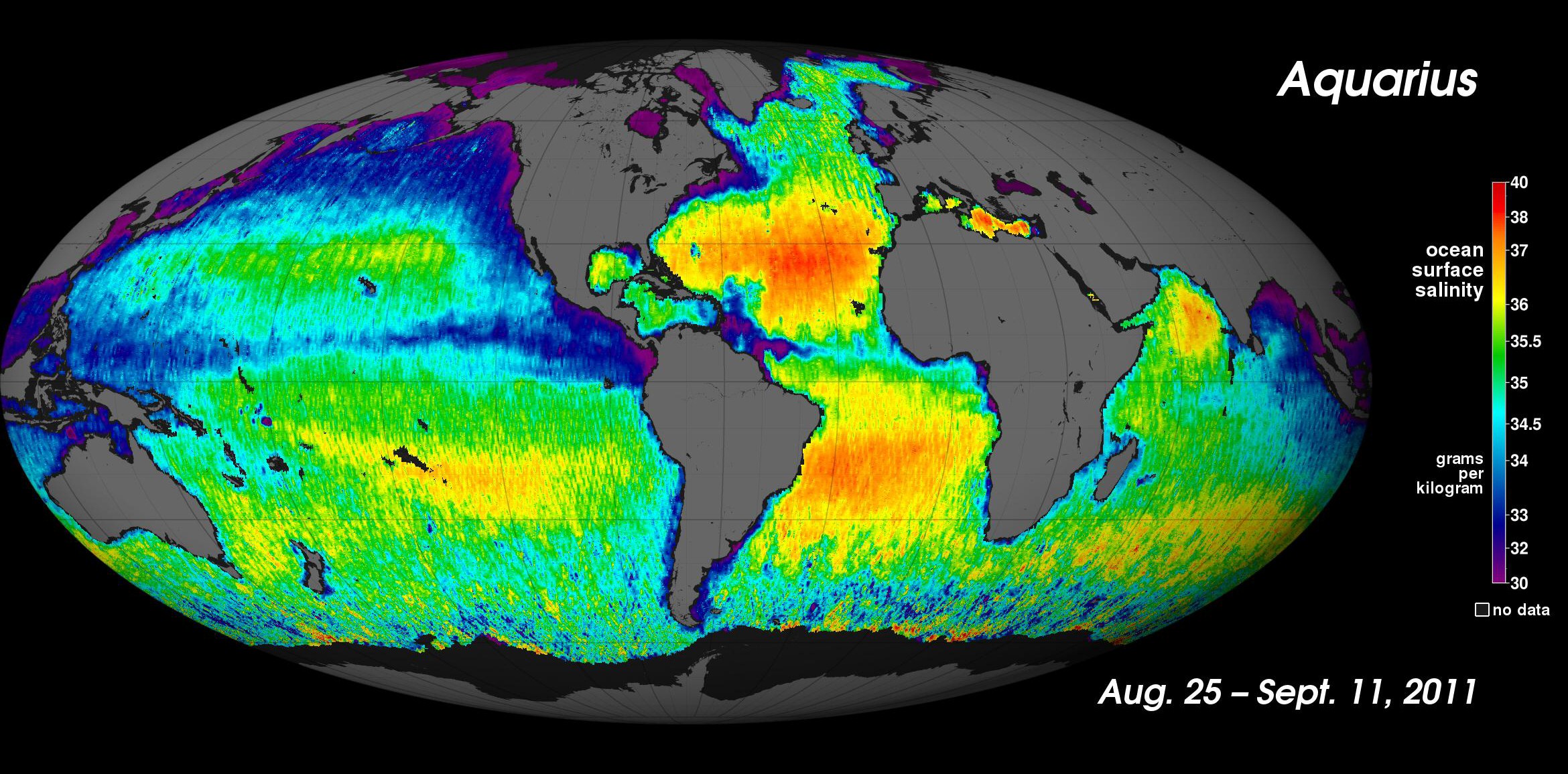
How salty the sea is, and why that density helps drive the overturning circulation.
Read the card →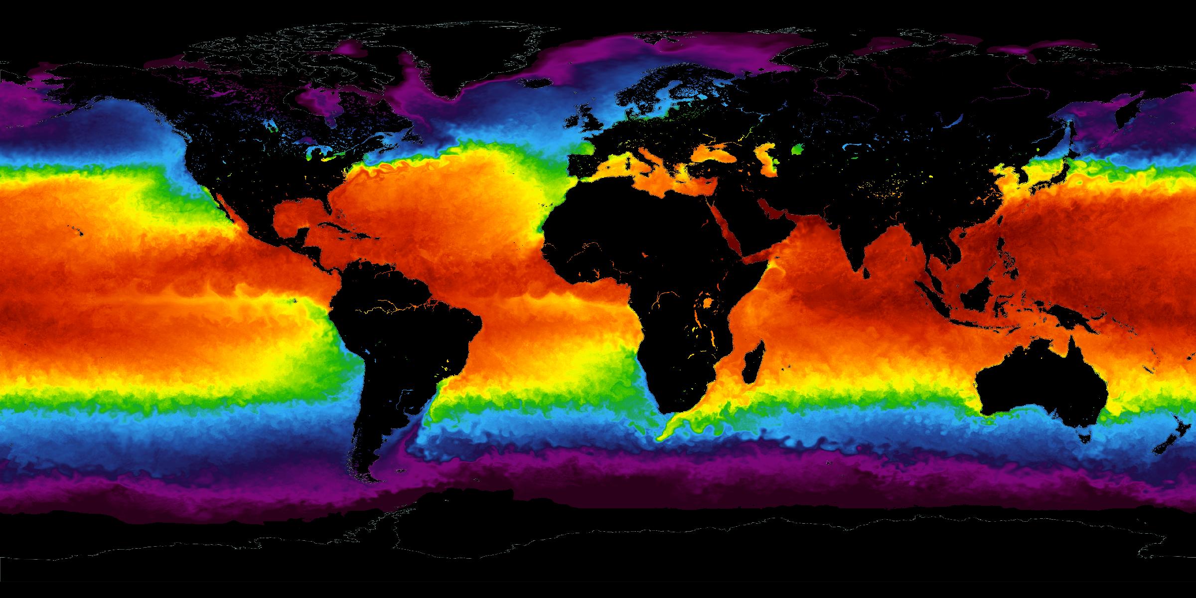
The temperature of the sea surface: the standing climate, and years that run warmer or cooler.
Read the card →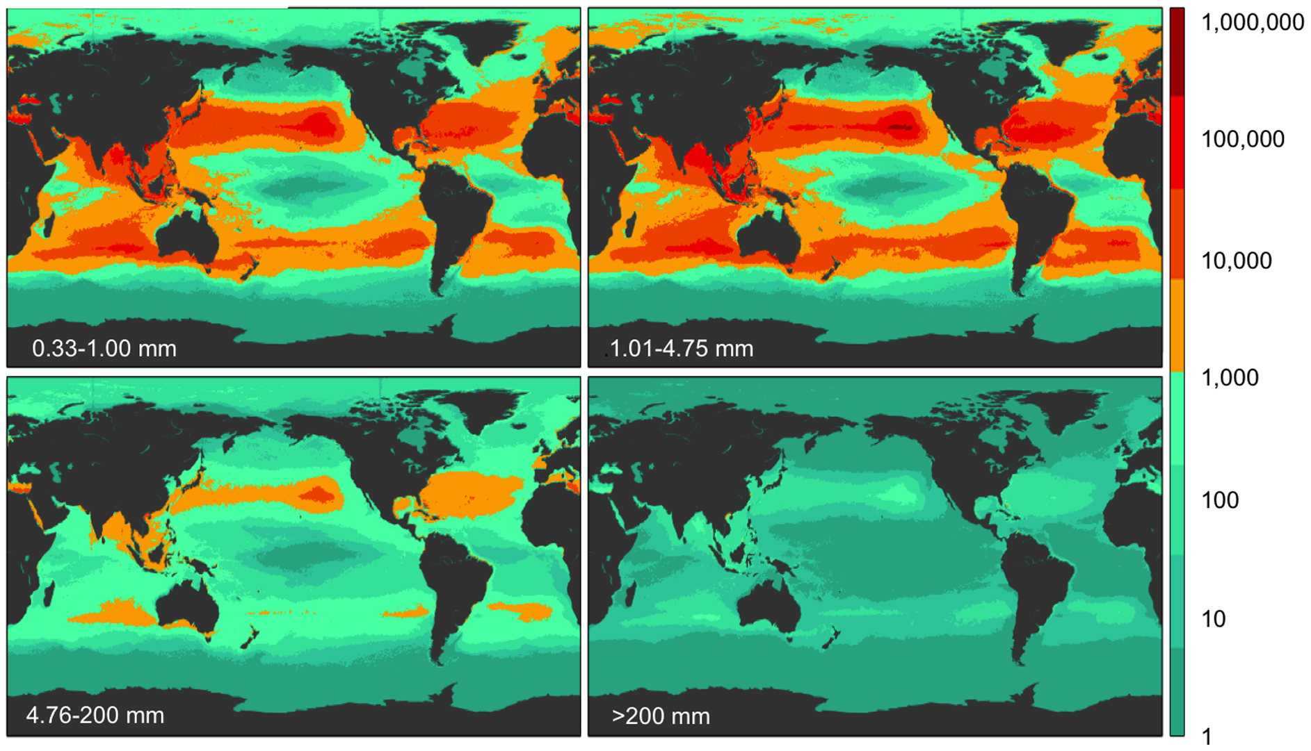
Five subtropical garbage patches, oil, phytoplankton blooms, and coastal dead zones.
Read the card →Heat, acidity, plastic, and hypoxia, each from a named paper.
Read the card →