

Forests
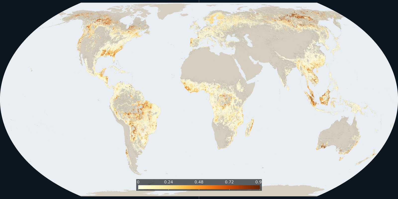
Tree-cover loss
Hansen / Global Forest Watch: where tree cover was lost, including clearing, fire, and harvest: not only “deforestation.”
Read the card →WDPA / Protected Planet: parks, reserves, and other protected polygons: coverage on paper, not always protection on the ground.
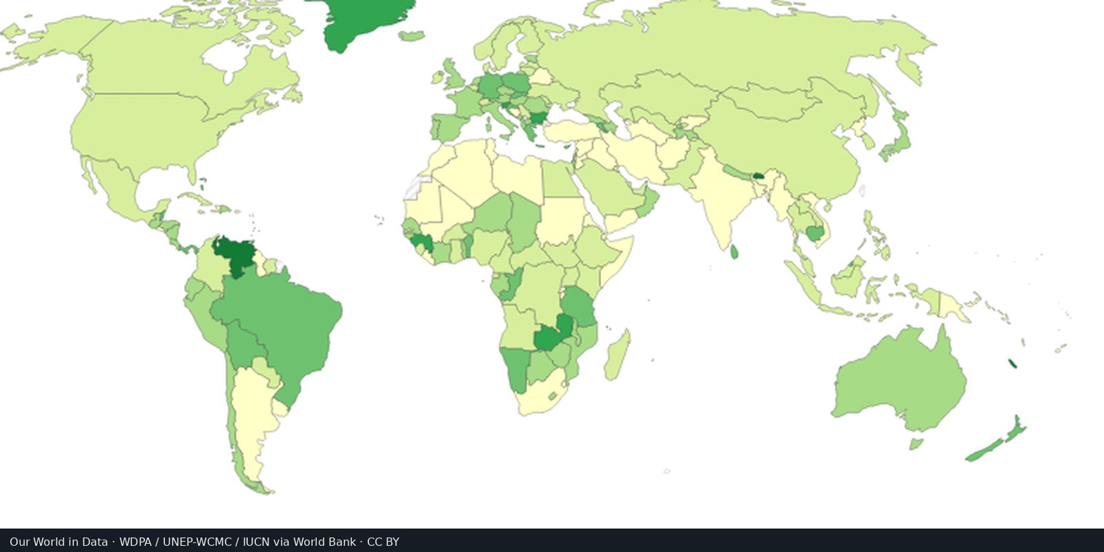
The World Database on Protected Areas, maintained by UNEP-WCMC and IUCN and shown on Protected Planet, is the global inventory of terrestrial and marine protected areas. It is the standard layer governments and researchers cite.
UNEP-WCMC and IUCN, World Database on Protected Areas (Protected Planet)
Vintage: 2024
https://www.protectedplanet.net/
WDPA has specific terms: you may view and cite; full redistribution of the database has restrictions. We host a cropped Our World in Data map export (CC BY) of terrestrial protected-area share and link to Protected Planet rather than shipping WDPA polygons.
A green polygon is a reported designation (IUCN categories I-VI and other measures). Overlaps, paper parks, and missing indigenous territories are common. Area protected is not the same as intact habitat.
Reporting lags. Some countries list almost everything; others list little. Hunting, roads, and mining still happen inside lines. Complementary layers (OECM, indigenous lands) are incomplete.
Open source map → Hansen / Global Forest Watch: where tree cover was lost, including clearing, fire, and harvest: not only “deforestation.”
Read the card →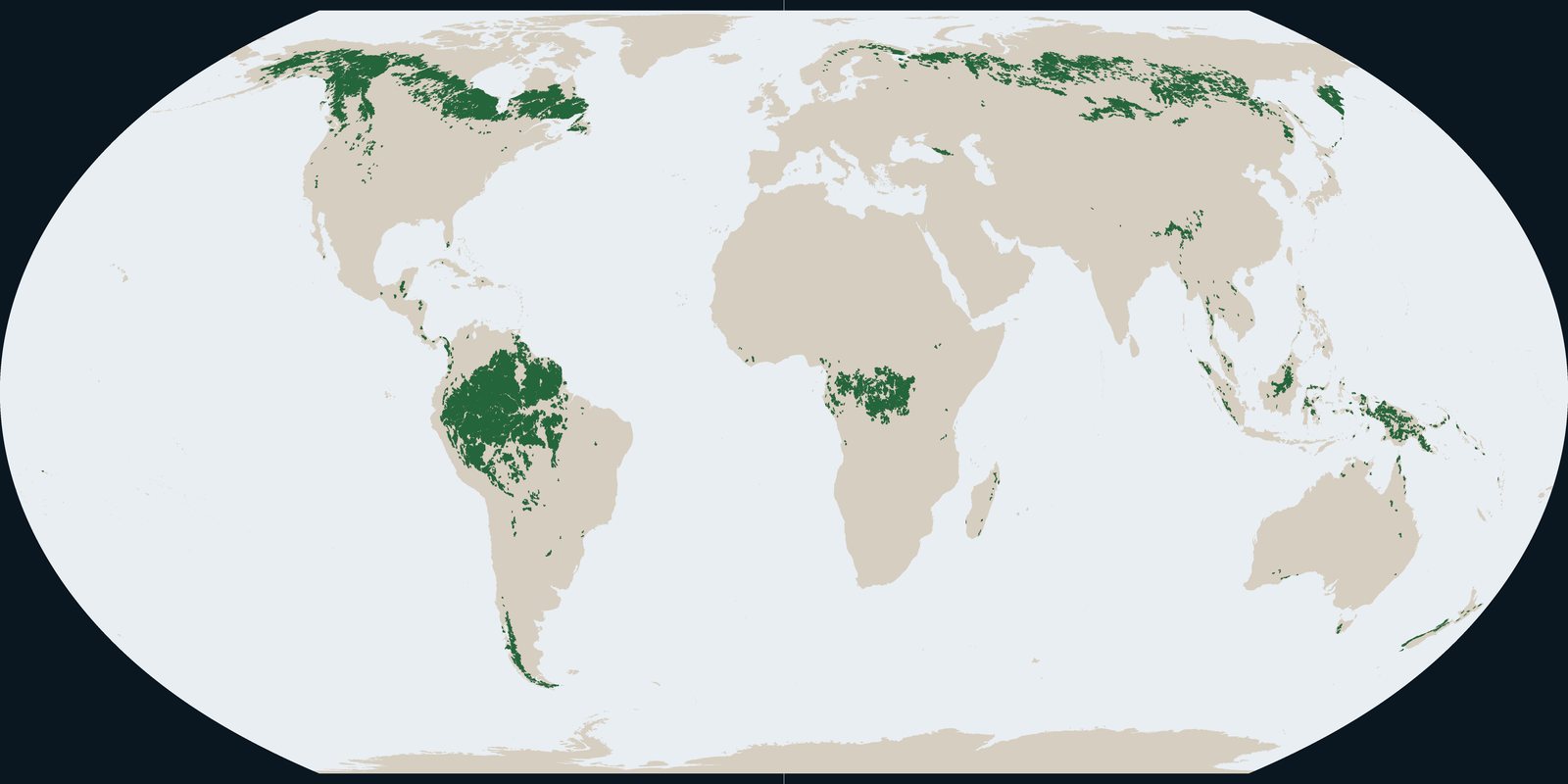
Intact Forest Landscapes in 2020: wilderness-scale forest mosaics from the IFL Mapping Team, not Hansen annual loss pixels and not park boundaries.
Read the card →Source: Intact Forest Landscapes: data download (this plate is 2020)
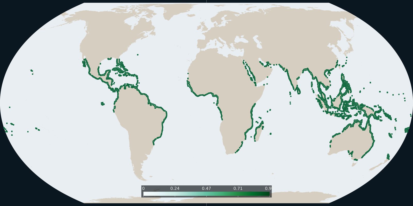
Global Mangrove Watch version 3 extent for 2020: tidal forest shoreline, not inland Hansen loss and not WDPA parks.
Read the card →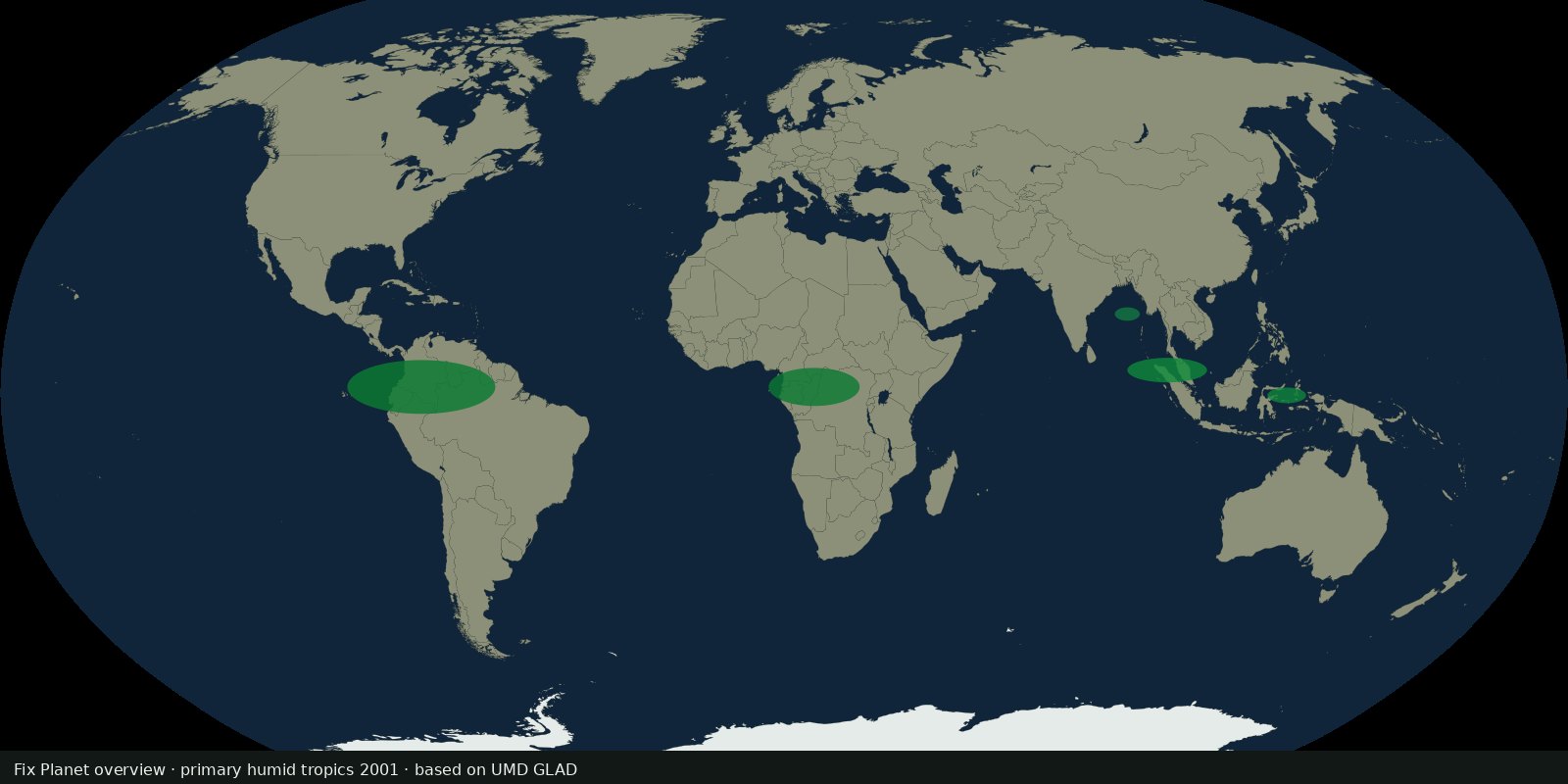 Fix Planet overview
UMD GLAD 30 m map of primary humid tropical forest extent for 2001 (Turubanova et al.), a primary baseline, not annual Hansen loss and not IFL wilderness size rules.
Read the card →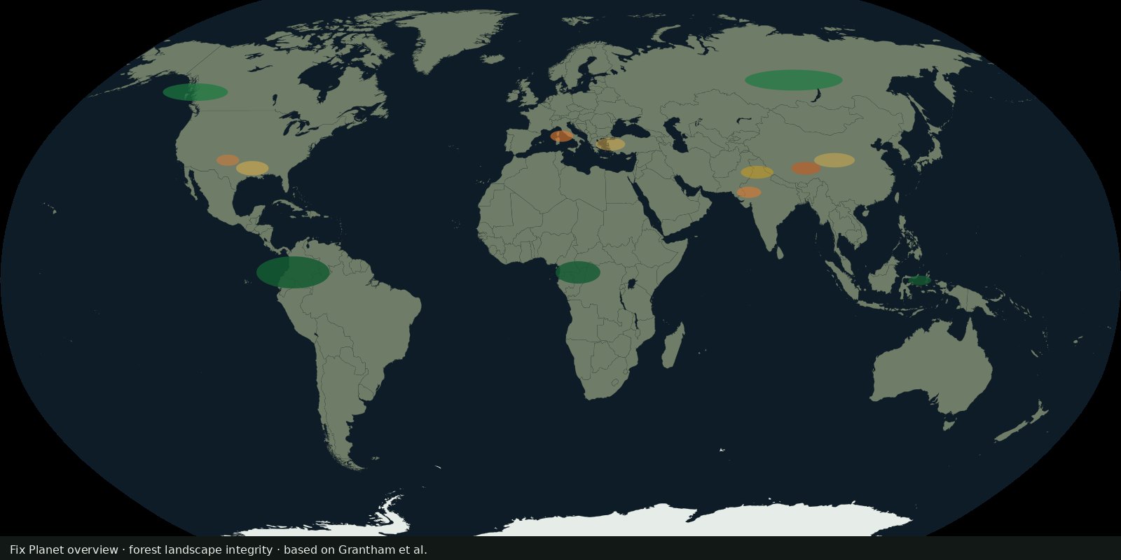 Fix Planet overview
Grantham et al. continuous integrity score for the world’s forests (~2019), anthropogenic modification and connectivity, not Hansen loss alone and not WDPA coverage.
Read the card →Source: Grantham et al. 2020: Nature Communications (FLII paper)