

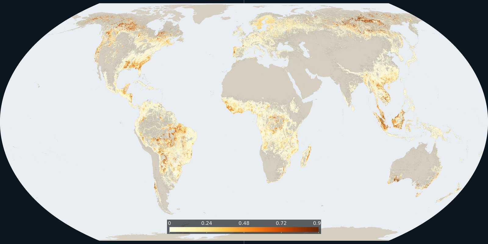
Forests
Tree-cover loss
Hansen / Global Forest Watch: where tree cover was lost, including clearing, fire, and harvest: not only “deforestation.”
Read the card →UMD GLAD 30 m map of primary humid tropical forest extent for 2001 (Turubanova et al.), a primary baseline, not annual Hansen loss and not IFL wilderness size rules.
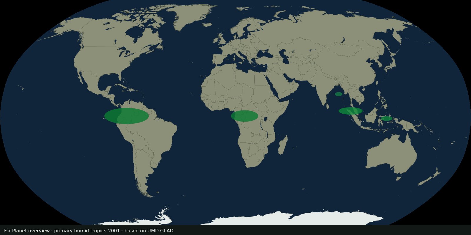
UMD GLAD mapped primary humid tropical forest extent for year 2001 at 30 m from Landsat. Primary here means forest that had not been completely cleared in the Landsat record used for that baseline. Continental GeoTIFFs and an Earth Engine image collection are public. Method paper: Turubanova et al., Environmental Research Letters 2018 (DOI 10.1088/1748-9326/aacd1c).
Pixel value 1 is primary humid tropical forest in the 2001 map; 0 is other land or water. To discuss primary loss since 2001, combine this baseline with a tree-cover loss product. The 2001 layer alone is not a 2025 extent map.
Humid tropics only: not boreal primary forest and not dry forest. Secondary forest after clearing is outside the 2001 primary class. Classification errors exist at edges and in complex mosaics. Plantations established before the baseline logic can confuse local readings. Read the GLAD notes.
Open the GLAD dataset page and the Google Earth Engine catalog for the public layers. The preview is a Fix Planet schematic of the humid-tropical primary belt, not the 30 m GeoTIFF. Cite Turubanova et al. 2018 and UMD GLAD.
Open source map → Hansen / Global Forest Watch: where tree cover was lost, including clearing, fire, and harvest: not only “deforestation.”
Read the card →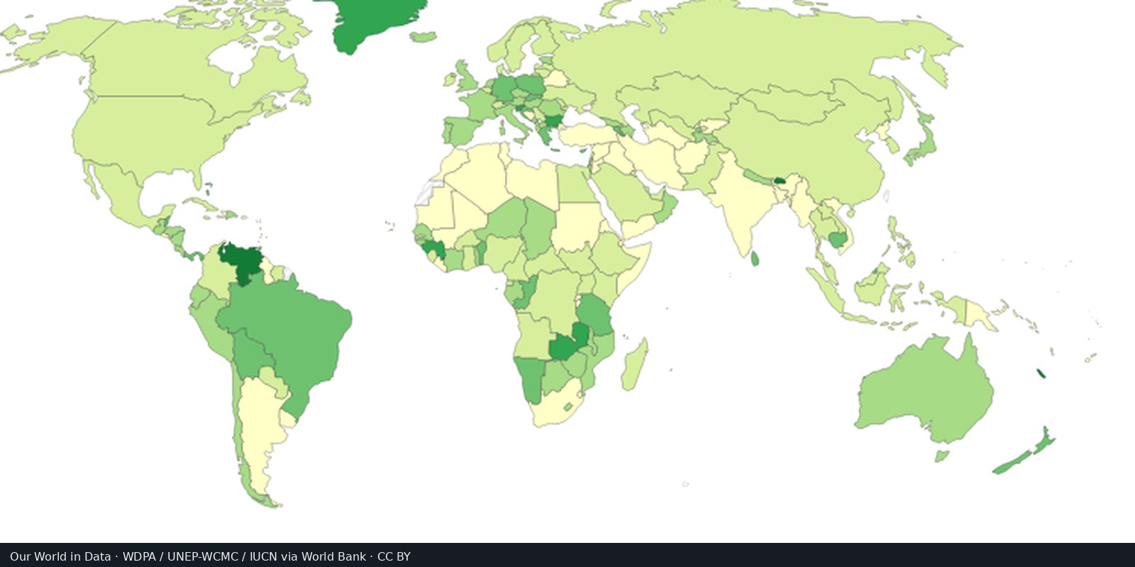
WDPA / Protected Planet: parks, reserves, and other protected polygons: coverage on paper, not always protection on the ground.
Read the card →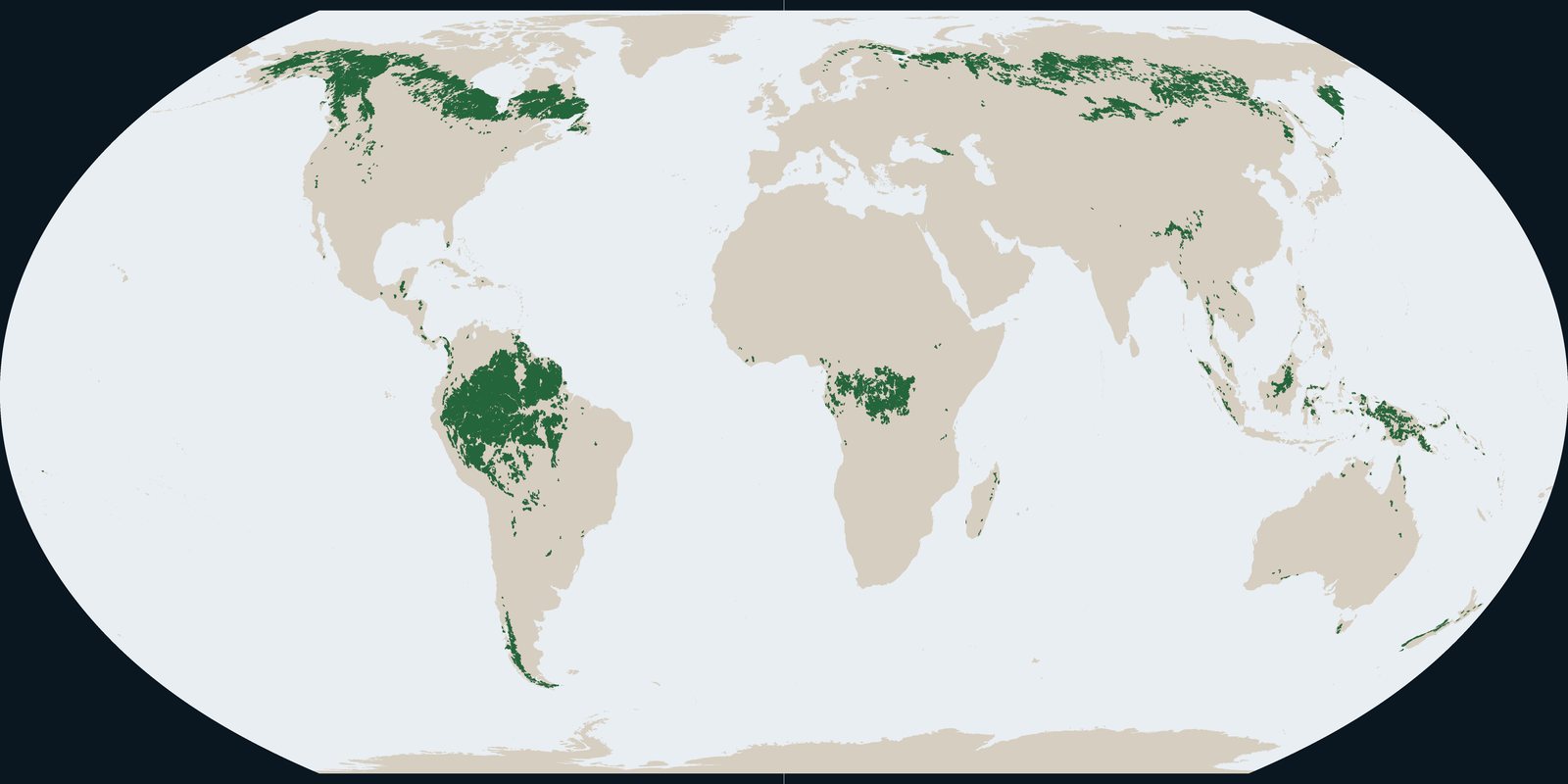
Intact Forest Landscapes in 2020: wilderness-scale forest mosaics from the IFL Mapping Team, not Hansen annual loss pixels and not park boundaries.
Read the card →Source: Intact Forest Landscapes: data download (this plate is 2020)
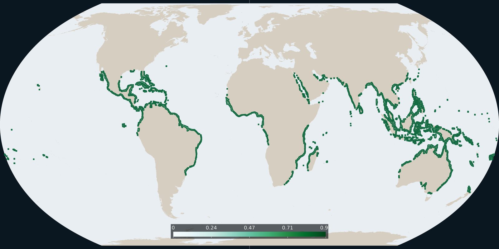
Global Mangrove Watch version 3 extent for 2020: tidal forest shoreline, not inland Hansen loss and not WDPA parks.
Read the card →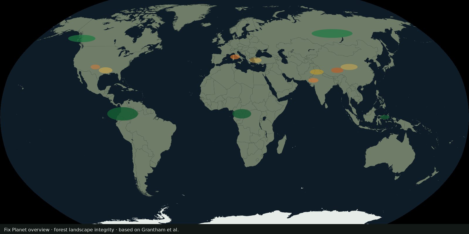 Fix Planet overview
Grantham et al. continuous integrity score for the world’s forests (~2019), anthropogenic modification and connectivity, not Hansen loss alone and not WDPA coverage.
Read the card →Source: Grantham et al. 2020: Nature Communications (FLII paper)