

Forests
Tree-cover loss
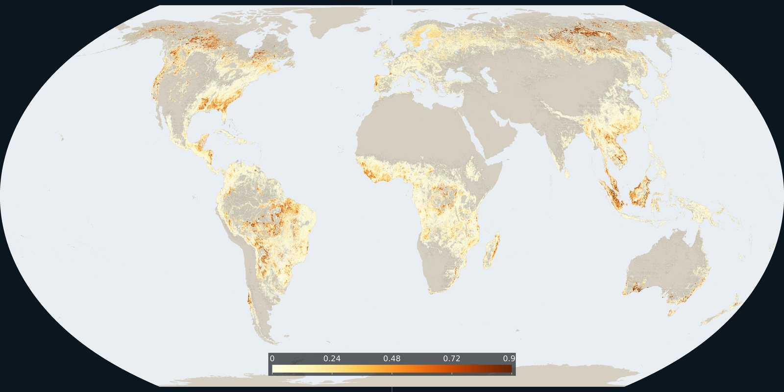
Hansen / Global Forest Watch: where tree cover was lost, including clearing, fire, and harvest: not only “deforestation.”
Read the card →Intact Forest Landscapes in 2020: wilderness-scale forest mosaics from the IFL Mapping Team, not Hansen annual loss pixels and not park boundaries.
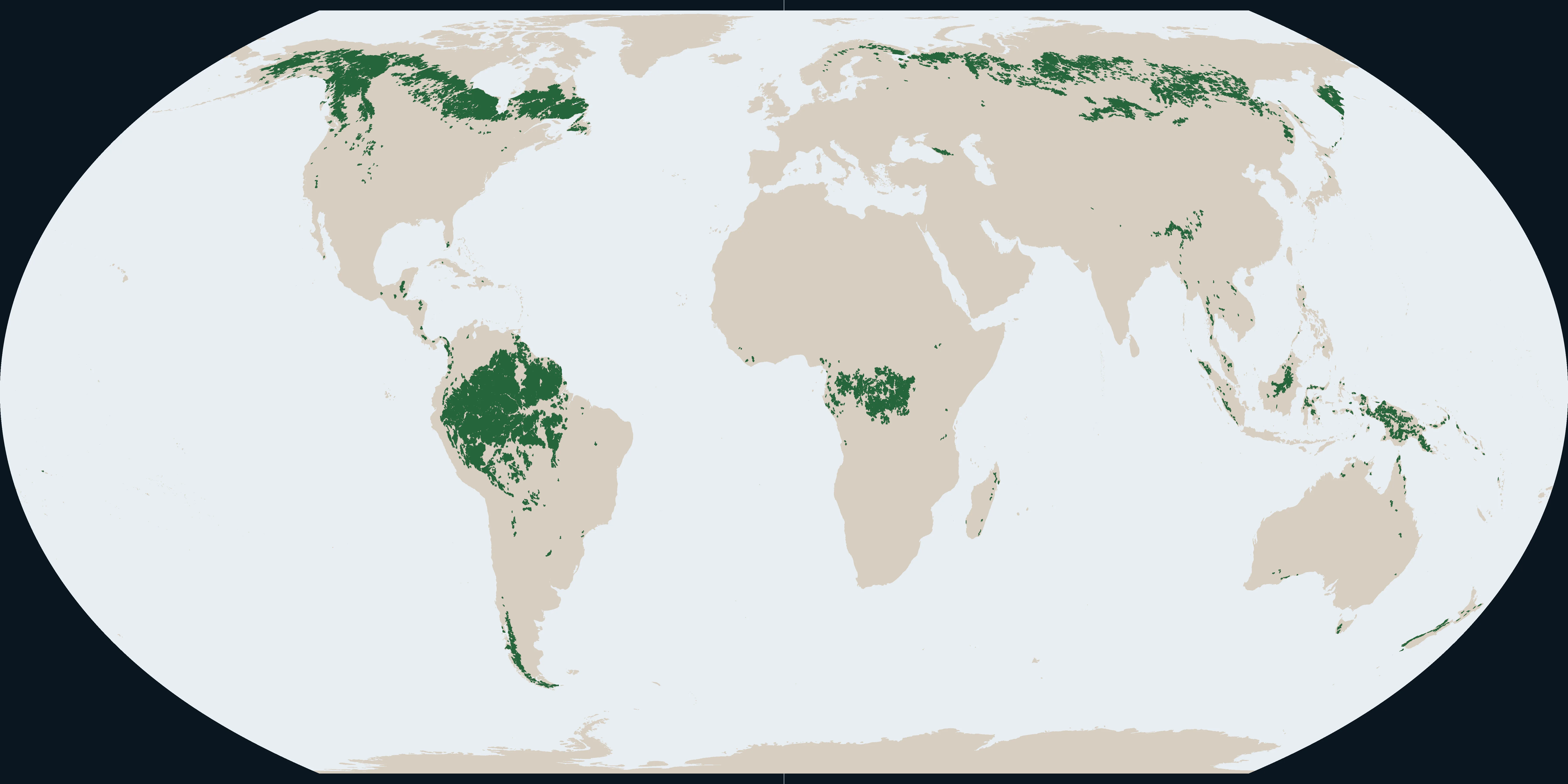
Map: Fix Planet from Intact Forest Landscapes, 2020 extent (IFL Mapping Team). CC BY 4.0. Boundaries: Natural Earth.
Intact Forest Landscapes (IFL) map seamless mosaics of forest and associated natural ecosystems with no remotely detected industrial human activity, large enough to sustain wide-ranging species. This plate is the 2020 extent from the IFL Mapping Team (UMD GLAD and partners), published under CC BY 4.0. The same team also publishes 2000, 2013, 2016, and 2025. Cite Potapov et al., Science Advances 2017, for the method.
A green patch is an IFL polygon in the 2020 layer, not FAO forest land use, not a plantation, and not a protected-area boundary. Change between published years is fragmentation or industrial intrusion, which can differ from Hansen tree-cover loss totals.
IFL is a minimum-size wilderness class (at least about 500 km² mosaic with no detected industrial infrastructure), not all primary forest and not a carbon stock. A forest can be primary yet fail IFL if roads or clearings fragment it. Boundaries move when new disturbance appears between update years. Detection depends on satellite evidence of infrastructure and clearing. Small-scale or under-canopy uses can be missed.
The map is the 2020 Intact Forest Landscapes extent from the IFL Mapping Team (CC BY 4.0). Later updates exist through 2025; this plate is the 2020 layer. Cite the IFL Mapping Team and Potapov et al. 2017.
Open source map → Hansen / Global Forest Watch: where tree cover was lost, including clearing, fire, and harvest: not only “deforestation.”
Read the card →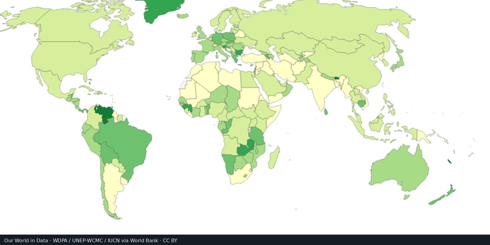
WDPA / Protected Planet: parks, reserves, and other protected polygons: coverage on paper, not always protection on the ground.
Read the card →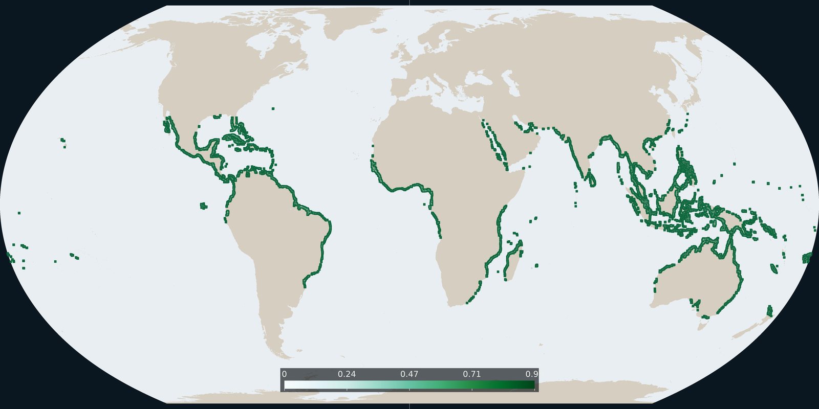
Global Mangrove Watch version 3 extent for 2020: tidal forest shoreline, not inland Hansen loss and not WDPA parks.
Read the card →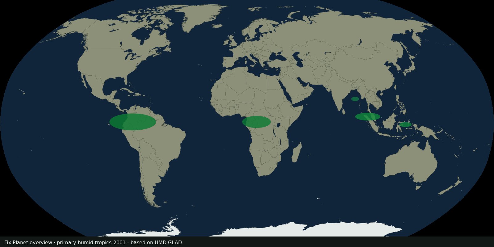 Fix Planet overview
UMD GLAD 30 m map of primary humid tropical forest extent for 2001 (Turubanova et al.), a primary baseline, not annual Hansen loss and not IFL wilderness size rules.
Read the card →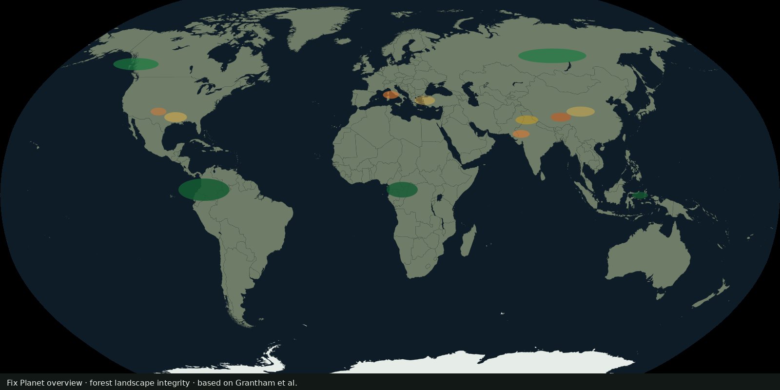 Fix Planet overview
Grantham et al. continuous integrity score for the world’s forests (~2019), anthropogenic modification and connectivity, not Hansen loss alone and not WDPA coverage.
Read the card →Source: Grantham et al. 2020: Nature Communications (FLII paper)