

Forests
Protected areas
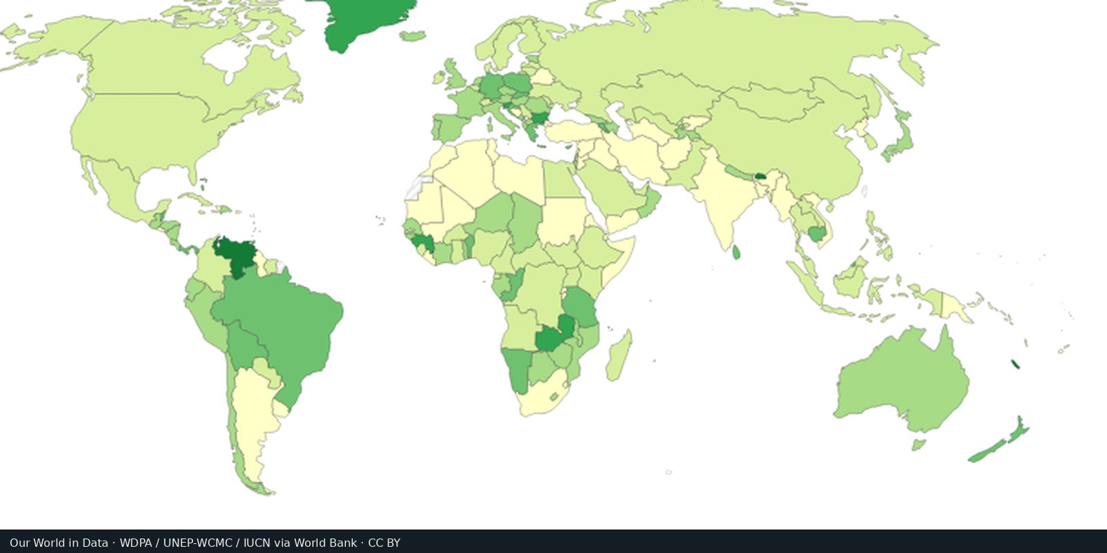
WDPA / Protected Planet: parks, reserves, and other protected polygons: coverage on paper, not always protection on the ground.
Read the card →Hansen / Global Forest Watch: where tree cover was lost, including clearing, fire, and harvest: not only “deforestation.”
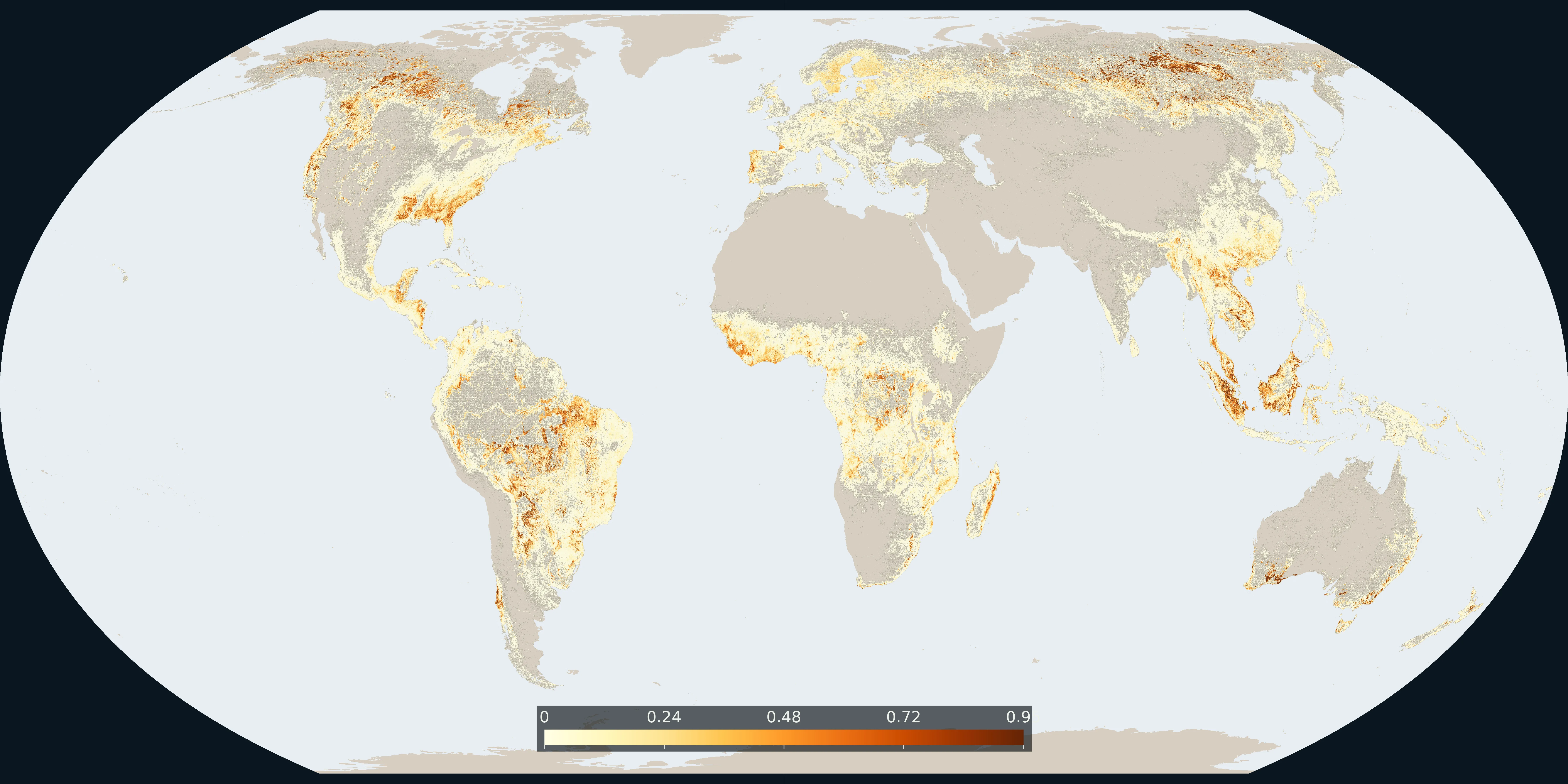
Map: Fix Planet from Hansen Global Forest Change lossyear, version 2024 v1.12. Colour is the share of 30 m pixels lost from 2001 to 2024, counted on a 0.02° grid. Boundaries: Natural Earth.
Hansen and colleagues at the University of Maryland map annual tree-cover loss from Landsat. Global Forest Watch (World Resources Institute) serves the layer. NASA Earth observations sit behind the same satellites. Loss is a change in canopy, not automatically a conversion of primary forest.
Hansen / University of Maryland; Global Forest Watch; NASA
Vintage: 2001-2024
https://www.globalforestwatch.org/
Hansen Global Forest Change is CC BY 4.0 (Hansen / UMD / Google / USGS / NASA). The map counts 30 m lossyear pixels from 2001 to 2024 on a 0.02° grid. Open the GFW map for the interactive layer.
The colour is the share of 30 m pixels in each cell that lost tree cover from 2001 to 2024. Plantations, fire, and storm damage count as loss. A country total hides the frontier. Global Forest Watch serves the interactive layer.
Tree cover is not primary forest. Some loss is legal harvest. Some intact forest is already degraded. Global Forest Watch documents the definitions.
Open source map → WDPA / Protected Planet: parks, reserves, and other protected polygons: coverage on paper, not always protection on the ground.
Read the card →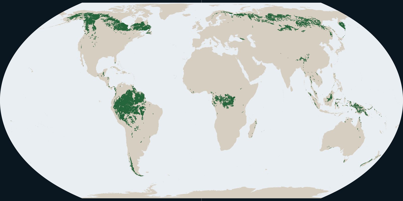
Intact Forest Landscapes in 2020: wilderness-scale forest mosaics from the IFL Mapping Team, not Hansen annual loss pixels and not park boundaries.
Read the card →Source: Intact Forest Landscapes: data download (this plate is 2020)
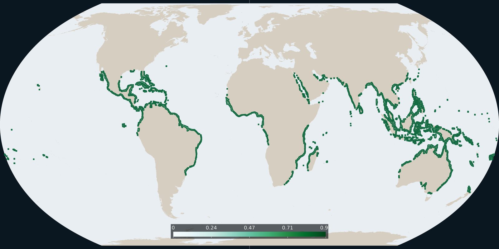
Global Mangrove Watch version 3 extent for 2020: tidal forest shoreline, not inland Hansen loss and not WDPA parks.
Read the card →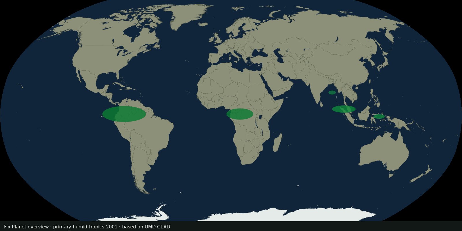 Fix Planet overview
UMD GLAD 30 m map of primary humid tropical forest extent for 2001 (Turubanova et al.), a primary baseline, not annual Hansen loss and not IFL wilderness size rules.
Read the card →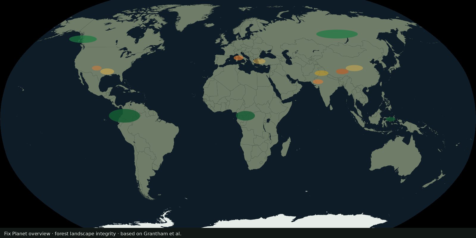 Fix Planet overview
Grantham et al. continuous integrity score for the world’s forests (~2019), anthropogenic modification and connectivity, not Hansen loss alone and not WDPA coverage.
Read the card →Source: Grantham et al. 2020: Nature Communications (FLII paper)