

Forests
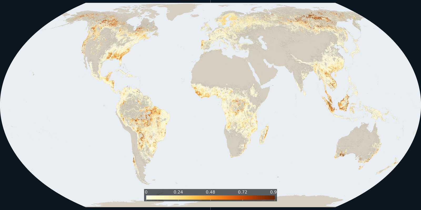
Tree-cover loss
Hansen / Global Forest Watch: where tree cover was lost, including clearing, fire, and harvest: not only “deforestation.”
Read the card →Grantham et al. continuous integrity score for the world’s forests (~2019), anthropogenic modification and connectivity, not Hansen loss alone and not WDPA coverage.
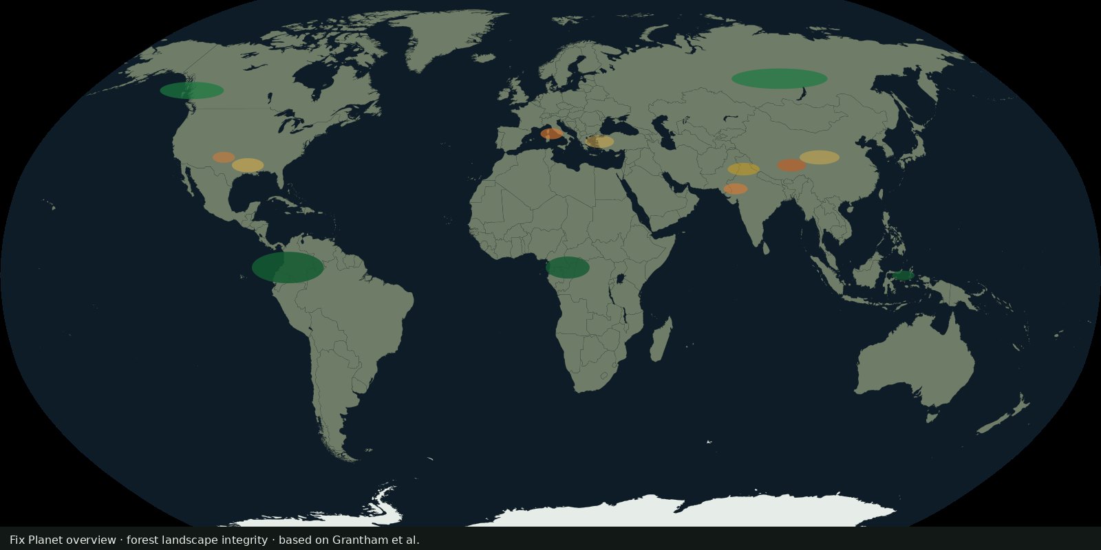
The Forest Landscape Integrity Index (FLII) combines forest extent, mapped human pressures, inferred associated pressures, and connectivity loss into a continuous 0-10 integrity score for forests worldwide (Grantham et al., Nature Communications 2020). Roughly 40% of remaining forest fell in the authors’ illustrative high-integrity band; only part of that sits inside protected areas.
High scores mean lower modelled anthropogenic modification at landscape scale, not untouched forever and not carbon density. Low scores can still be tree-covered. FLII is not Intact Forest Landscapes: a forest can score mid-integrity without qualifying as an IFL. Category cuts (low, medium, high) are illustrative; the continuous score is the product.
FLII is a modelled index at about 300 m, circa the start of 2019, not a 2025 annual update in the original paper. It is not a substitute for field ecology or Indigenous land maps. Local weighting may differ from the global default. Hunting and understorey degradation are partly inferred from accessibility, not counted animal by animal.
Read the open Nature Communications article and download rasters from the Forest Landscape Integrity download page. The preview is a Fix Planet schematic of integrity bands, not the authors’ raster. Cite Grantham et al. 2020.
Open source map → Hansen / Global Forest Watch: where tree cover was lost, including clearing, fire, and harvest: not only “deforestation.”
Read the card →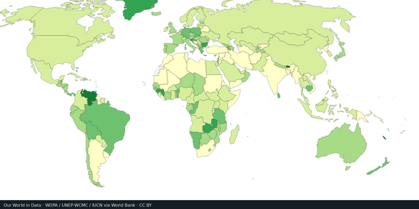
WDPA / Protected Planet: parks, reserves, and other protected polygons: coverage on paper, not always protection on the ground.
Read the card →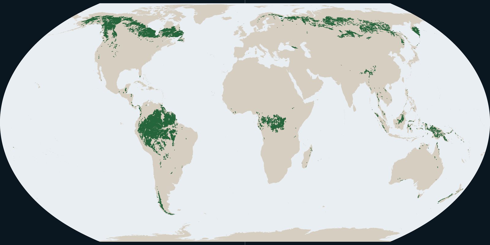
Intact Forest Landscapes in 2020: wilderness-scale forest mosaics from the IFL Mapping Team, not Hansen annual loss pixels and not park boundaries.
Read the card →Source: Intact Forest Landscapes: data download (this plate is 2020)
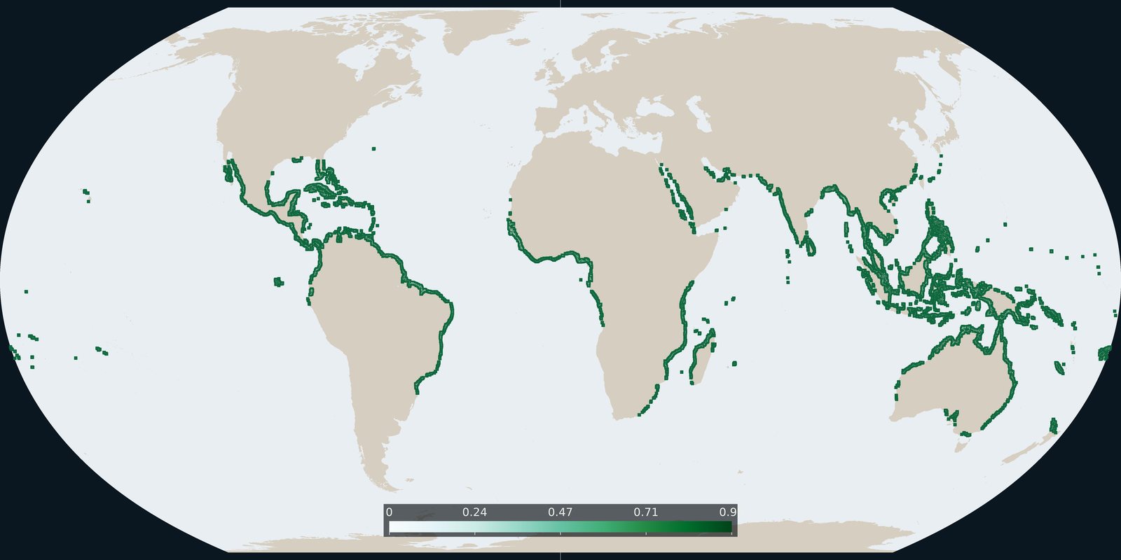
Global Mangrove Watch version 3 extent for 2020: tidal forest shoreline, not inland Hansen loss and not WDPA parks.
Read the card →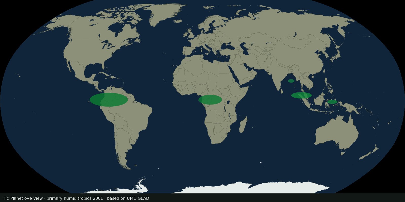 Fix Planet overview
UMD GLAD 30 m map of primary humid tropical forest extent for 2001 (Turubanova et al.), a primary baseline, not annual Hansen loss and not IFL wilderness size rules.
Read the card →