

Population
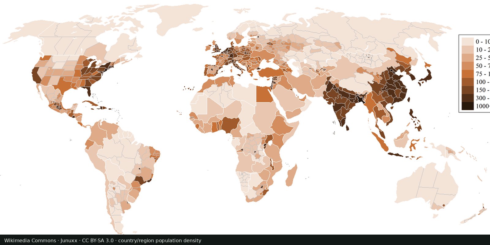
Population density
Where people live, gridded: NASA SEDAC GPW and WorldPop, models fitted to censuses, not a headcount of every street.
Read the card →How many people live in each country on 1 July 2024, from the UN medium-variant estimates.
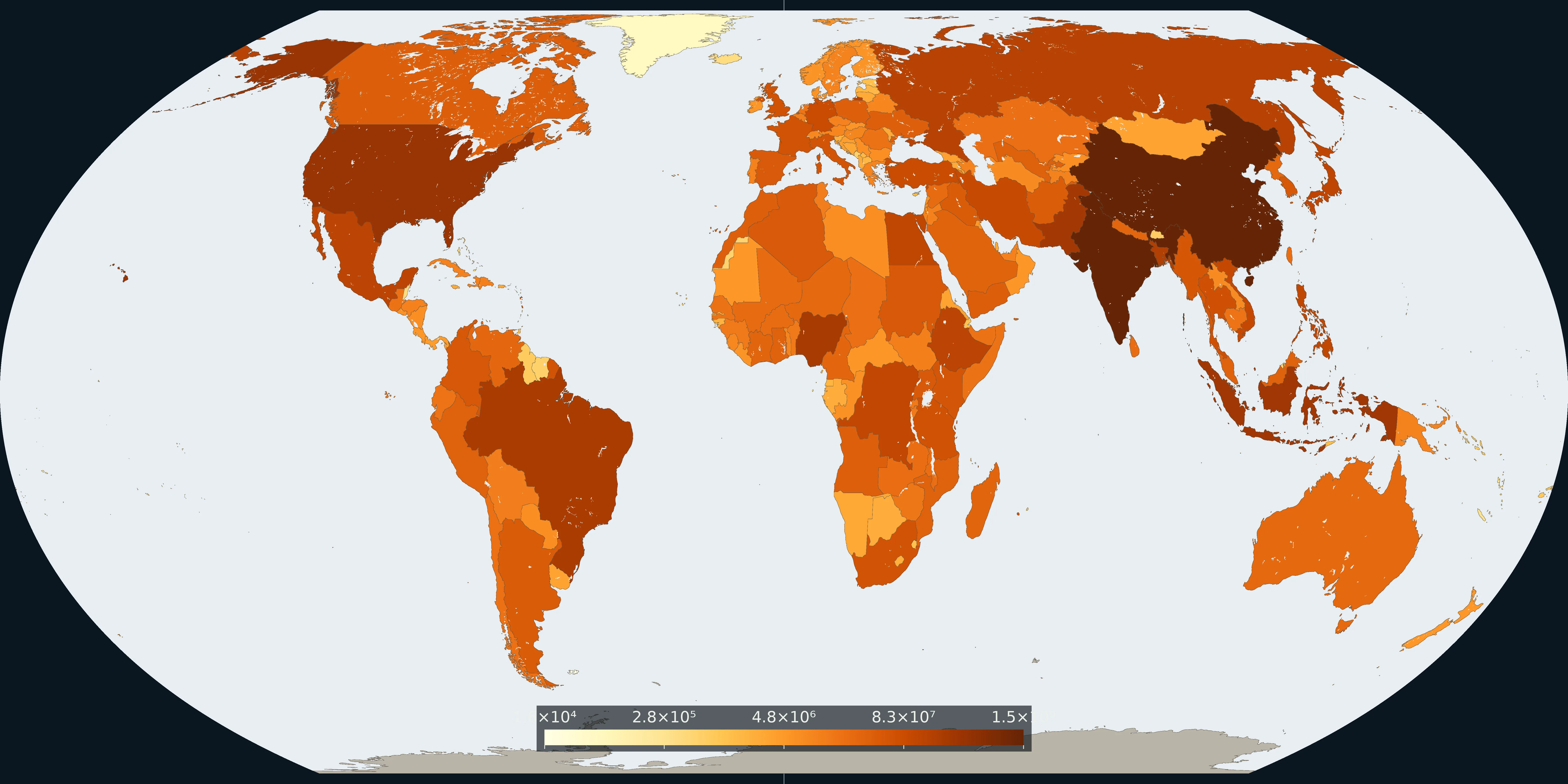
Map: Fix Planet from UN World Population Prospects 2024, medium variant, population on 1 July 2024. The number is people, on a log scale. Boundaries: Natural Earth 1:50m.
Each country is coloured by its population on 1 July 2024 in the UN World Population Prospects 2024 medium variant. The same table’s world total is 8.16 billion. India is the largest country total, then China. The colour is a log scale of people, from about 16 thousand (the 5th percentile of the countries drawn) to India’s 1.45 billion.
One UN revision puts every country total on the same date. The colour is how many people, not how many per square kilometre and not lights at night.
Darker brown is a larger country total. The bar is people, on a log scale. Grey land has no 2024 row matched to that polygon. Lakes and the Caspian are left as water.
A country total is not a density grid. French Guiana, Guadeloupe, Martinique, Mayotte, Réunion, Gibraltar, Bonaire, Sint Eustatius and Saba, and Tokelau are in the table but are not separate polygons on this Natural Earth 1:50m coastline. The 8.16 billion is the table’s World row, not a sum of the coloured countries.
UN DESA Population Division, World Population Prospects 2024, demographic indicators, medium variant, population on 1 July 2024. Boundaries: Natural Earth 1:50m, public domain.
Open source map → Where people live, gridded: NASA SEDAC GPW and WorldPop, models fitted to censuses, not a headcount of every street.
Read the card →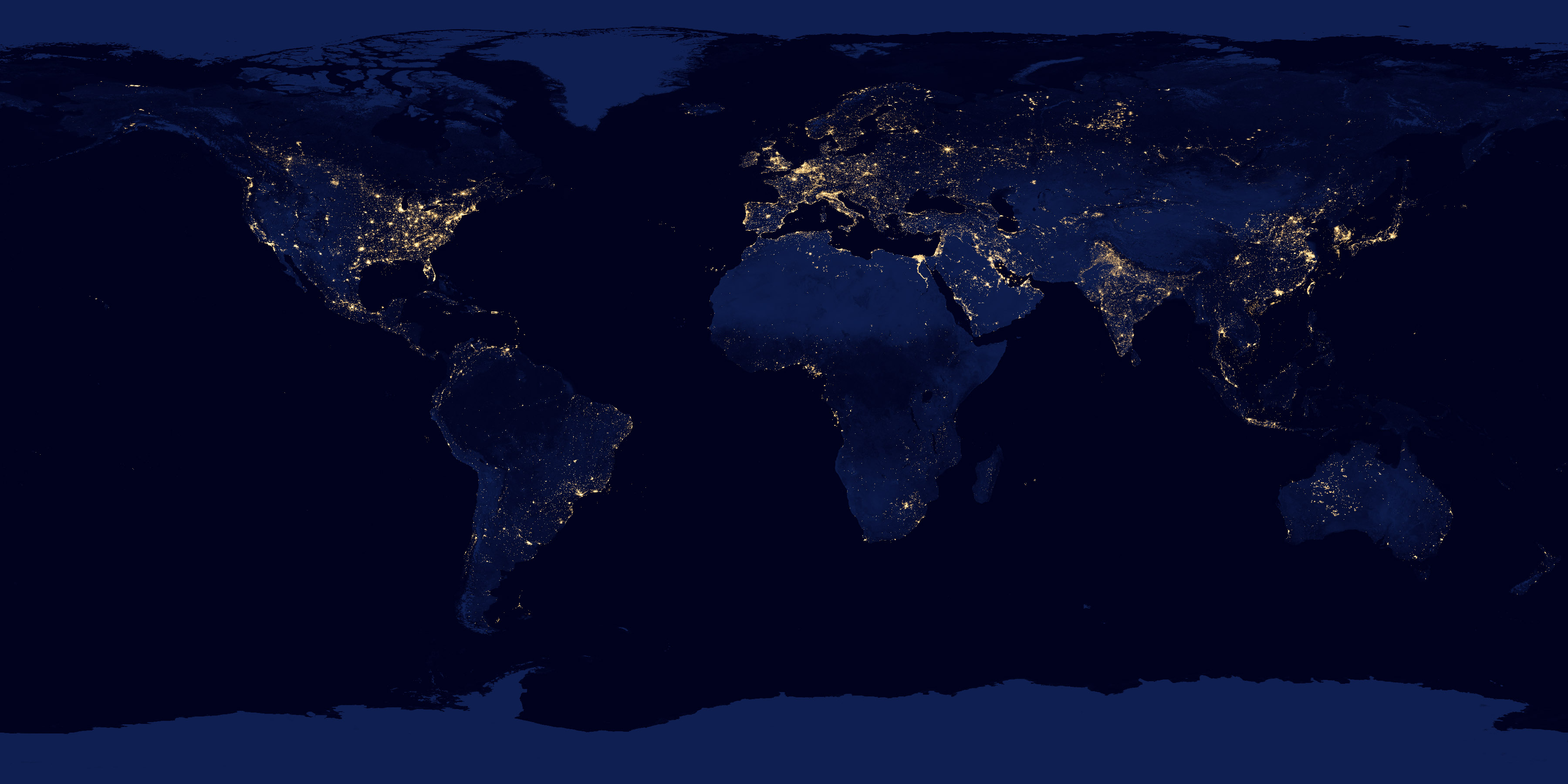
NASA Black Marble: city lights and gas flares as seen from orbit, a picture of electrified settlement.
Read the card →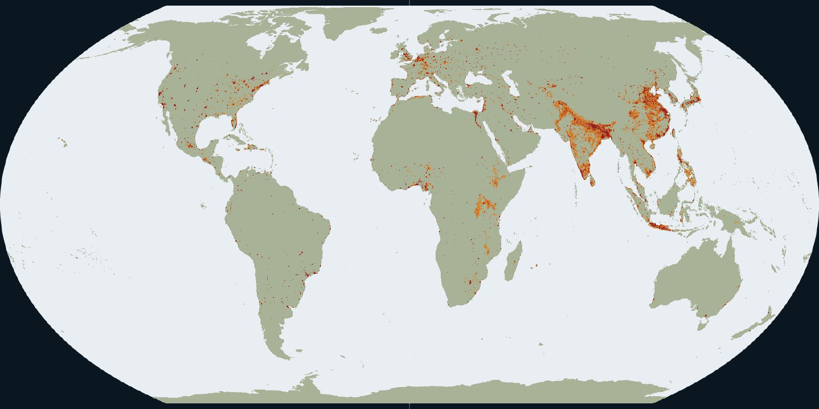
Urban centres, towns and rural land in the GHSL settlement grid for 2020.
Read the card →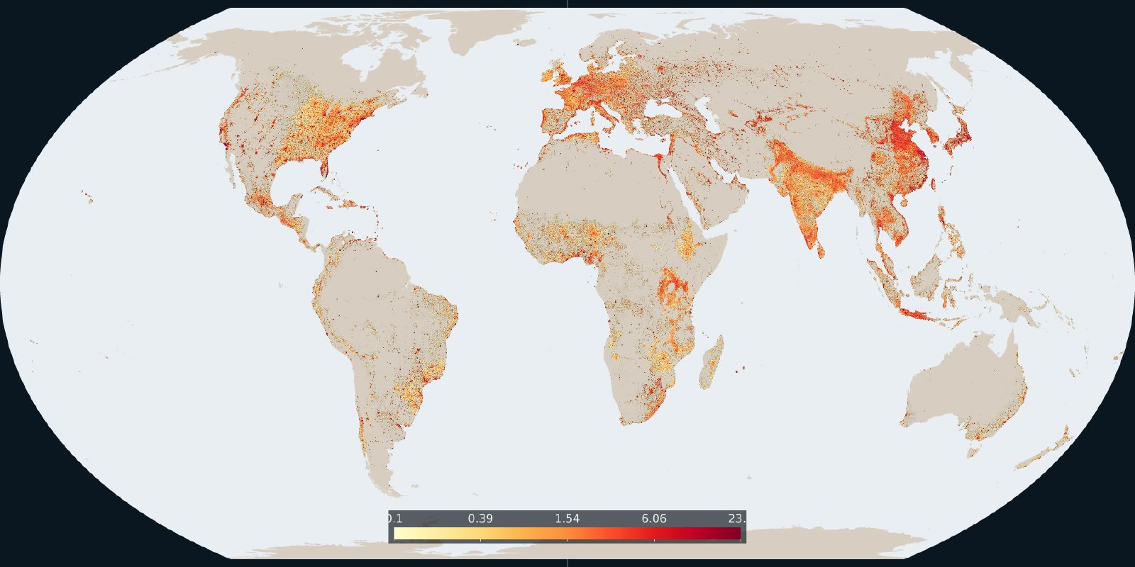
How much of each cell is built-up surface in the 2020 GHSL grid.
Read the card →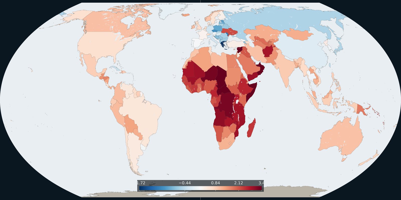
The 2024 annual rate of population change in each country, from the same UN medium variant.
Read the card →