

Ethnolinguistic
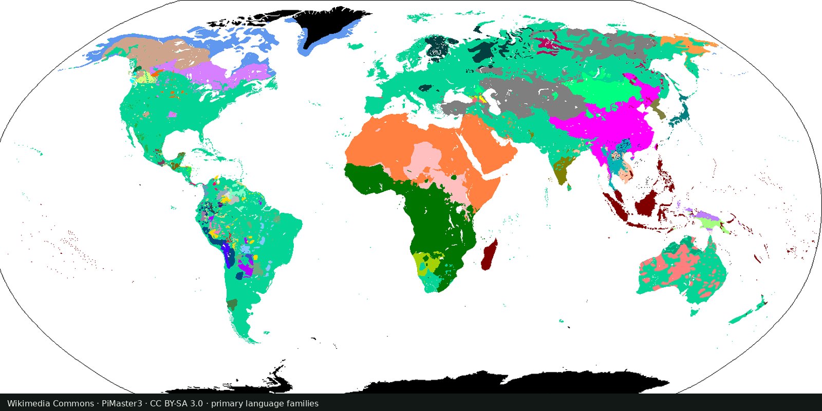
Language families of the world
A linguistic map of related languages, an approximation of ethnolinguistic geography, not a census of peoples.
Read the card →A living catalogue and map of endangered and Indigenous languages with community resources, another endangerment lens beside UNESCO’s 2010 Atlas, not a second Glottolog.
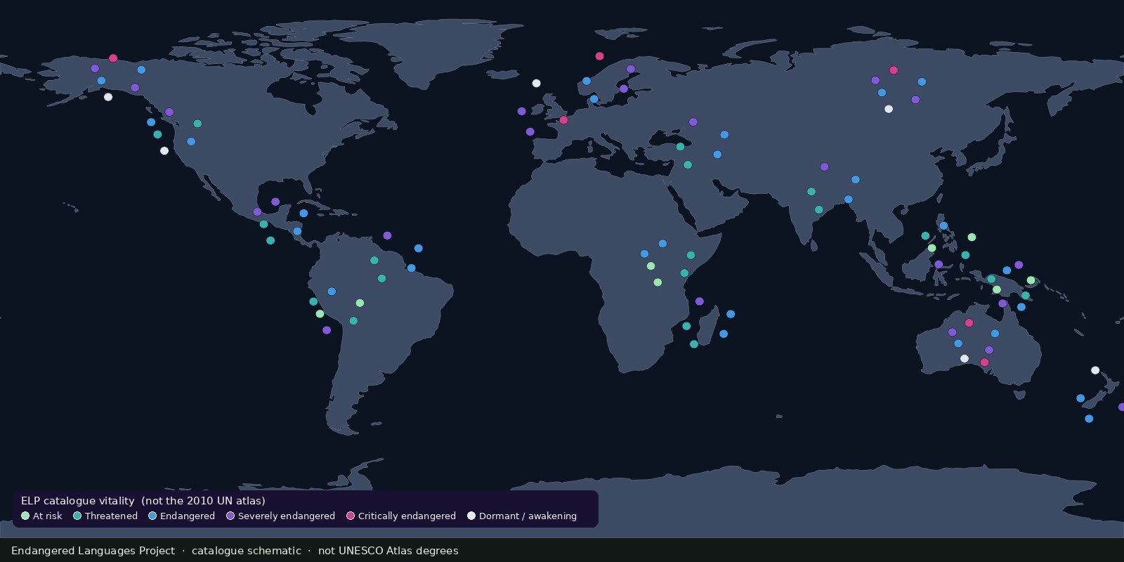
The Endangered Languages Project (ELP) is a U.S.-based nonprofit that publishes a public catalogue and language map supporting revitalization of Indigenous and endangered languages. It emphasizes evidence-based vitality data, resource libraries, and community collaboration: a working catalogue, not a one-time print atlas.
UNESCO’s 2010 Atlas is the citable historical UN edition. ELP is the current public catalogue/map many educators and communities actually open. Together with Glottolog (families) and WALS (structure), the shelf covers relatedness, structure, printed UN endangerment, and a living endangerment catalogue: without opening Religions or Political ethnicity.
Vitality labels and map points change as communities and researchers update entries. “Endangered” here is about language use and transmission, not about race or statehood. Cross-check important claims against UNESCO Atlas, Ethnologue EGIDS, or primary community sources. Do not caption ELP as “the UN map” (that is the UNESCO Atlas card).
“Endangered” here is about language use and transmission, not about race or statehood. Languages are not peoples and not states. Do not caption ELP as the UN map.
Endangered Languages Project. The preview is a Fix Planet schematic of a living catalogue map, distinct from UNESCO Atlas degrees and from Ethnologue EGIDS pins, and not a political map.
Open source map → A linguistic map of related languages, an approximation of ethnolinguistic geography, not a census of peoples.
Read the card →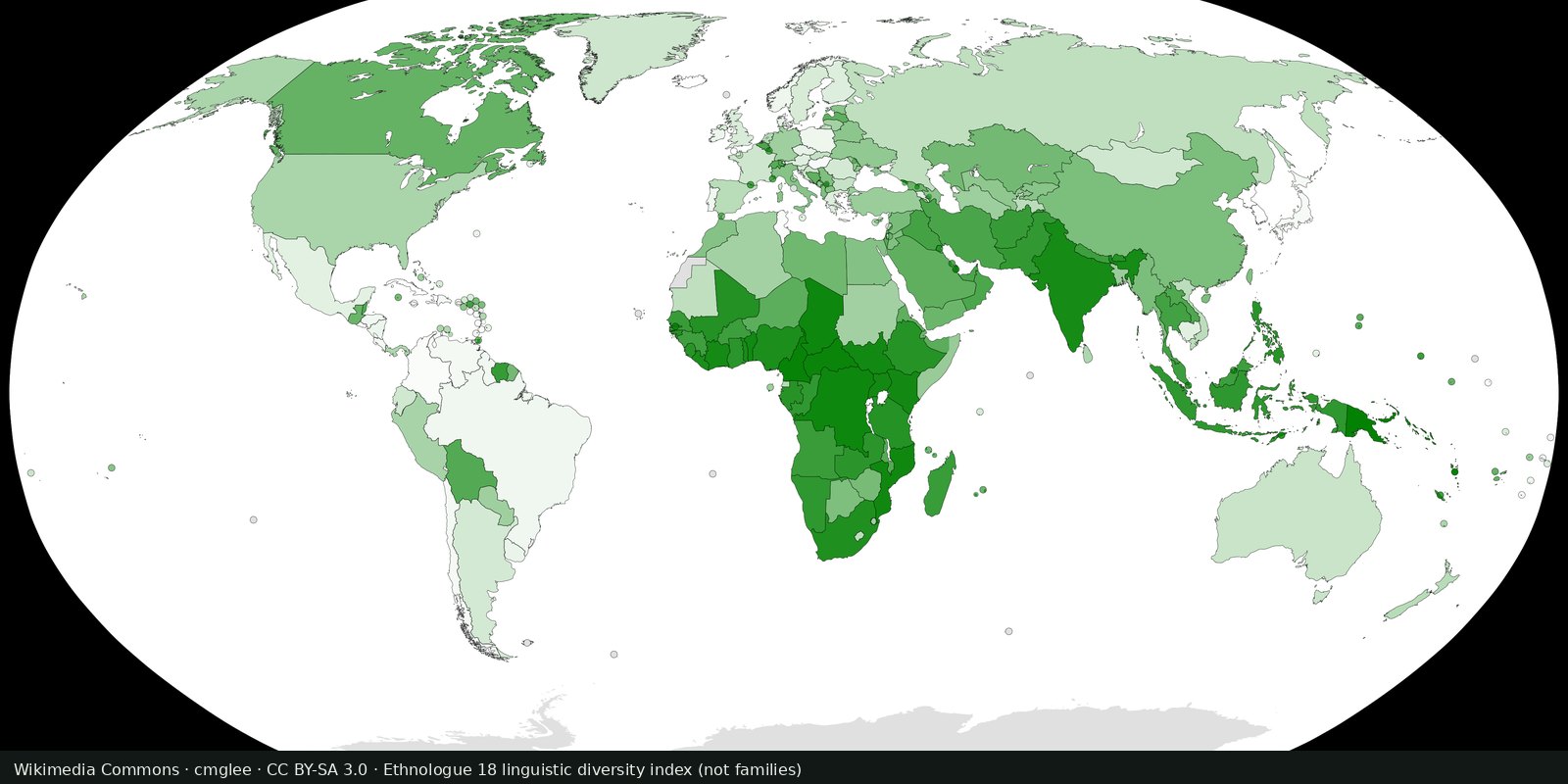
Ethnologue’s public insight on how many living languages are counted, a magnitude card next to the Glottolog family map, not a second family atlas.
Read the card →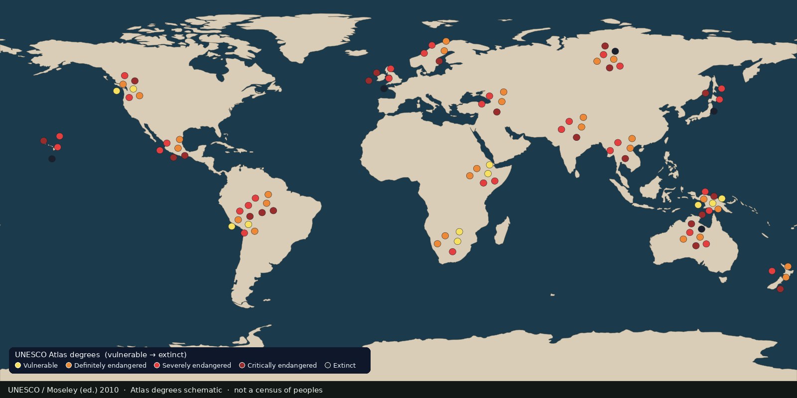 Fix Planet overview
Languages UNESCO listed as vulnerable to extinct, an endangerment atlas, not a census of peoples and not a second family-tree map.
Read the card →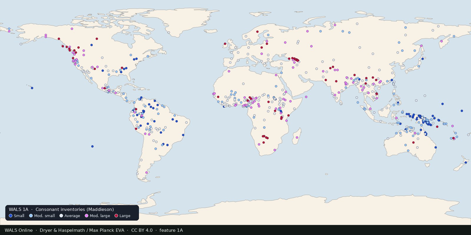
Structural features of languages: sound systems, word order, grammar, mapped from reference grammars. Typology, not ethnicity and not a family tree.
Read the card →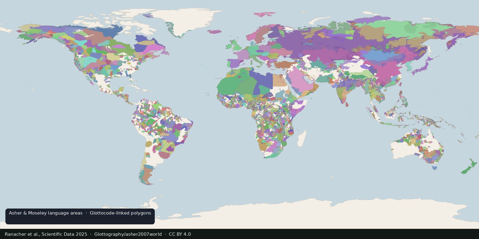
Open polygons for language areas digitized from Asher & Moseley’s atlas and linked to Glottocodes, areas, not single Glottolog points, and still not a census of peoples.
Read the card →Source: Ranacher et al., Scientific Data 2025: language areas from Asher & Moseley