
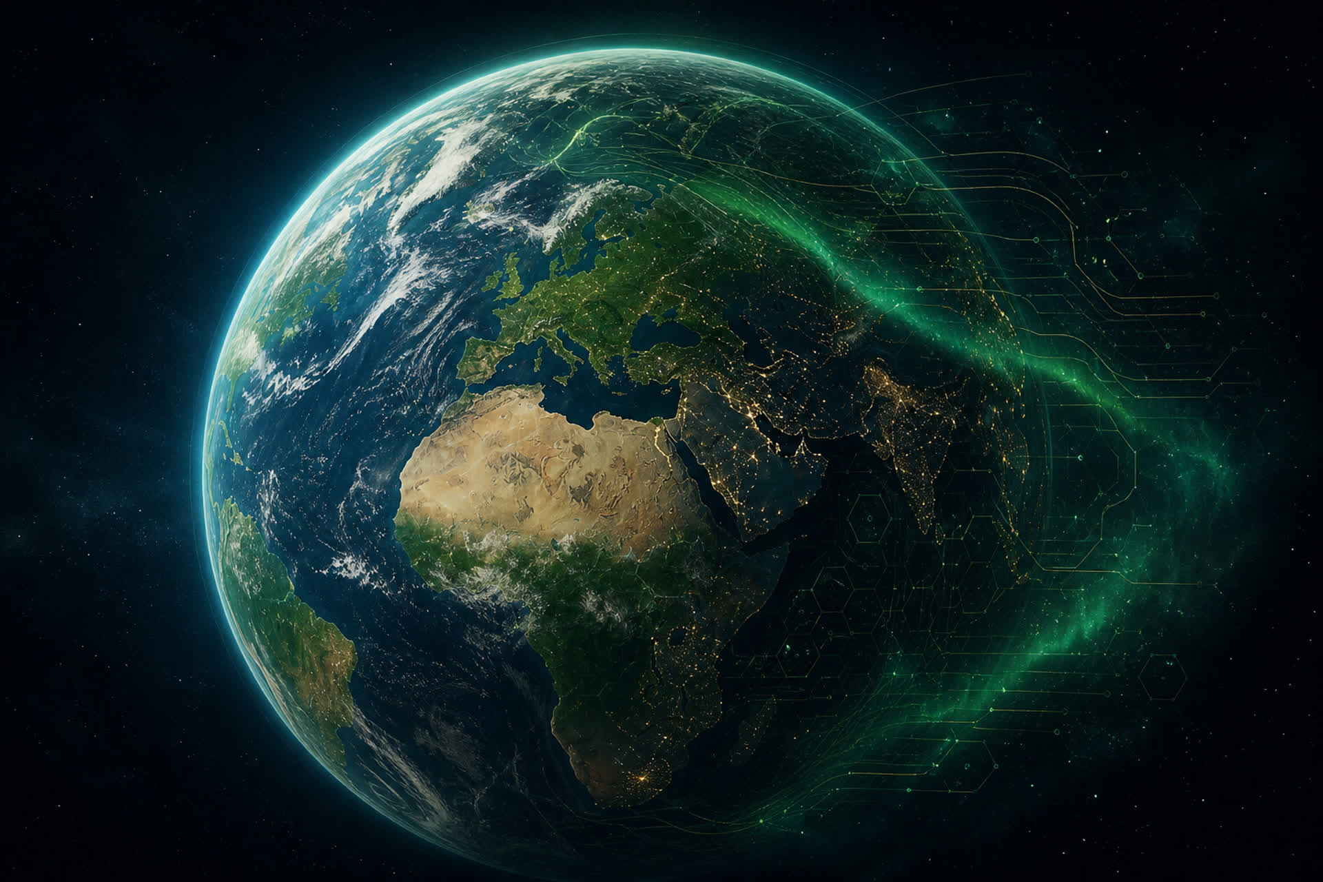
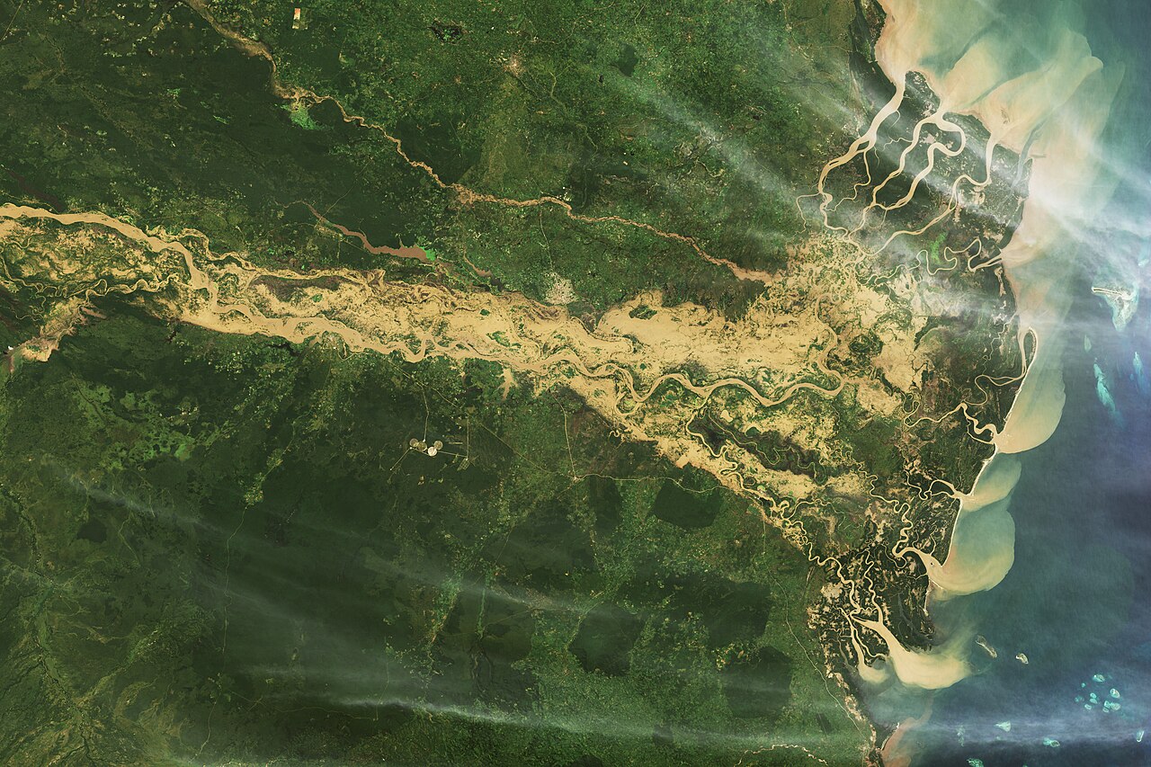
Image: NASA Earth Observatory / Wanmei Liang; Landsat (USGS) and MODIS ( Public domain )

What it is
Flood Hub is Google’s free platform for AI-based riverine flood forecasts: real-time maps and alerts with lead times up to about seven days, delivered via Flood Hub and, where available, Search, Maps, and Android partners.
Problem it targets
Multi-day river flood warnings missing where gauges are sparse
How it works
A global machine-learning hydrologic model predicts streamflow and flood risk, trained and evaluated across gauged and ungauged basins (Nature, 20 March 2024). Coverage of verified public forecasts expanded in November 2024 from about 80 to 100+ countries (about 700 million people, up from about 460 million). Expert layers add about 250,000 virtual-gauge points across about 150 countries for researchers and partners.
Status and players
Public Flood Hub, plus partnerships with aid groups (anticipatory-cash pilots cited in Google 2025 product notes). Not a substitute for a national flood-warning agency.
Risks and limits
Strongest on riverine floods with verifiable gauges; flash and urban floods remain harder. Virtual-gauge layers for experts are not the same as fully validated public alerts everywhere. National meteorological and hydrological services remain authoritative for official warnings. Do not equate Flood Hub with GraphCast, WeatherNext, or AIFS. Skill varies by basin and data density. Treat it as decision support: confirm with local authorities before any evacuation claim.
Sources
Nearing et al., Nature, 20 March 2024; Google coverage expansion, 11 November 2024; Flood Hub; Google Research floods page. National services remain the warning authority.