

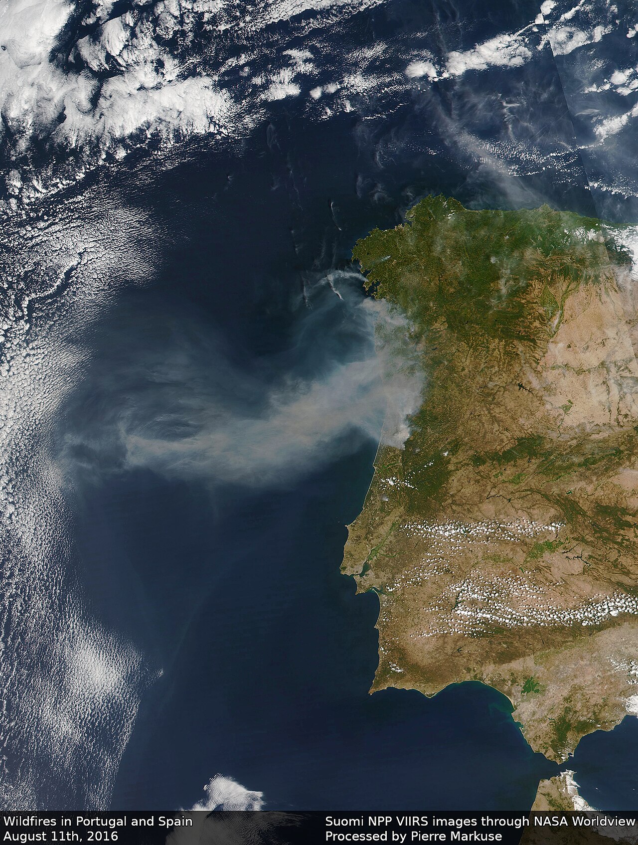
Image: Pierre Markuse ( CC BY 2.0 )

What it is
FireSat is a purpose-built wildfire detection and monitoring constellation under the nonprofit Earth Fire Alliance, with spacecraft by Muon Space and sensor and AI contributions from Google Research. Design target: detect fires as small as about 5×5 metres, with eventual updates every 20 minutes or less when the full constellation is up.
Problem it targets
Small wildfires invisible until they are already large
How it works
Multispectral infrared imagers plus AI that compares each ground spot with prior imagery and context (weather, infrastructure) to flag early fires. The Protoflight (launched March 2025) validated small and cool fire detection other systems missed. Three operational satellites launched 7 July 2026 on SpaceX Transporter-17 mark Initial Operational Capability.
Status and players
Protoflight collected more than 1 million infrared frames across continents (Muon and Earth Fire Alliance public notes). The operational trio is in commissioning after the July 2026 launch. Early Adopter fire agencies are targeted for data in the fourth quarter of 2026 (at least twice daily), with broader access phased through 2027-2028.
Risks and limits
Not a replacement for national warning services or aircraft. Constellation density, and therefore revisit: grows over years. Full 20-minute global revisit is a 2030s constellation goal. Fourth-quarter 2026 Early Adopter data is about twice daily, not yet global operations for every agency. Detection still needs ground confirmation; smoke, cloud, and false alarms remain hard. Do not treat “every fire on Earth every 20 minutes” as today’s service level.
Sources
Earth Fire Alliance, 7 July 2026 launch; Google Research FireSat page and 16 September 2024 announcement; Muon Space launch note. Not a 20-minute global service today.