

Image: ESA / ATG Medialab (Wikimedia Commons) ( CC BY-SA 3.0 IGO )

What it is
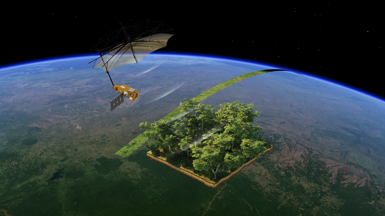
Biomass is an ESA Earth Explorer satellite. It carries the first spaceborne P-band synthetic-aperture radar, designed to measure forest biomass and the carbon stored in woody vegetation. It is not a weather forecast model and not a greenhouse-gas inventory. A 12-metre antenna flies at about 666 km. ESA launched it on 29 April 2025 from Kourou, French Guiana, on Vega-C.
Problem it targets
How much carbon sits in tropical and other forests is still poorly mapped from the ground. Optical satellites see the canopy top. A longer radar wave can look into the volume of the trees: if you can fly that band from space.
How it works
P-band radar (wavelength about 70 cm) penetrates the canopy and returns a signal related to woody biomass. The product is a forest-structure and carbon map, not a plume of emissions and not a rain forecast. Ground plots still calibrate the retrieval.
Status and players
ESA FutureEO / Earth Explorer. Data were opened in January 2026 after commissioning. Neighbor cards that measure the atmosphere or emissions (Climate TRACE, weather AI) are a different job.
Risks and limits
P-band is a restricted radio allocation; interference and calibration are ordinary limits. A biomass map is not a carbon credit and not a court inventory. Tropical cloud is less of a problem than for optical sensors, but the retrieval still needs field plots.
Sources
ESA Biomass mission page (FutureEO): first P-band SAR in space; launch 29 April 2025, Kourou / Vega-C. Not weather, not an emissions inventory.