

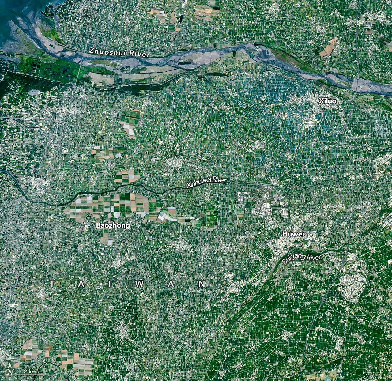
Image: NASA Earth Observatory / Michala Garrison ( Public domain )

What it is
AlphaEarth Foundations (announced 30 July 2025) is Google DeepMind’s model that builds a unified digital representation: an embedding field: of Earth’s land and coastal waters by integrating petabytes of Earth observation and related layers.
Problem it targets
Planetary maps stalled by sparse labels and mismatched sensors
How it works
For each roughly 10×10 m cell the model produces a compact 64-dimensional embedding that summarises multi-sensor context over time (DeepMind: about 16 times less storage than other AI systems they tested). Annual embeddings are published as the Satellite Embedding dataset in Google Earth Engine for on-demand maps of land use, ecosystems, and agricultural change.
Status and players
The Earth Engine dataset is public. DeepMind cites partner testing with more than 50 organisations (FAO-related ecosystem-atlas work, MapBiomas, universities). The embeddings are used to classify unmapped ecosystems and to speed mapping when labels are scarce: not as a weather service.
Risks and limits
Embeddings accelerate mapping. They do not replace field validation, land rights, or policy. Performance claims, such as lower error against baselines DeepMind tested, are model-card science: not a guarantee for every national map. Antarctica and persistent cloud still need care. A foundation embedding is a starting representation. Downstream classifiers still need labels, quality checks, and governance. Do not claim AlphaEarth sees every change on Earth in real time from the annual embedding product alone.
Sources
Google DeepMind, 30 July 2025; Earth Engine Satellite Embedding V1; arXiv 2507.22291. An annual embedding is not a real-time change map.